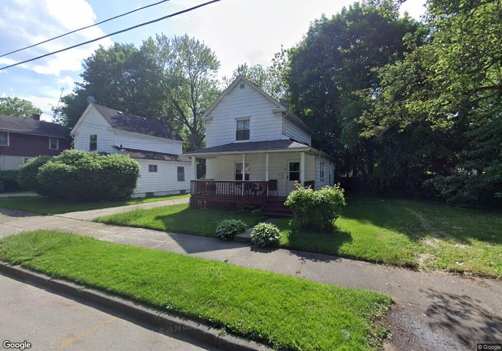
1020 Snyder St Akron, OH 44307
Sherbondy Hill NeighborhoodEstimated Value: $58,000 - $71,217
2
Beds
2
Baths
976
Sq Ft
$66/Sq Ft
Est. Value
About This Home
This home is located at 1020 Snyder St, Akron, OH 44307 and is currently estimated at $64,054, approximately $65 per square foot. 1020 Snyder St is a home located in Summit County with nearby schools including St. Bernard-St. Mary Elementary School.
Ownership History
Date
Name
Owned For
Owner Type
Purchase Details
Closed on
Sep 4, 2018
Sold by
Jones Michael G
Bought by
Jones April L
Current Estimated Value
Purchase Details
Closed on
Aug 20, 2018
Sold by
Jones Laura A
Bought by
Jones April L
Purchase Details
Closed on
Mar 16, 2018
Sold by
Estate Of Charles P Jones
Bought by
Jones David C and Jones April L
Create a Home Valuation Report for This Property
The Home Valuation Report is an in-depth analysis detailing your home's value as well as a comparison with similar homes in the area
Home Values in the Area
Average Home Value in this Area
Purchase History
| Date | Buyer | Sale Price | Title Company |
|---|---|---|---|
| Jones April L | $38,500 | Kingdom Title | |
| Jones April L | $38,500 | Kingdom Title | |
| Jones David C | -- | None Available |
Source: Public Records
Tax History Compared to Growth
Tax History
| Year | Tax Paid | Tax Assessment Tax Assessment Total Assessment is a certain percentage of the fair market value that is determined by local assessors to be the total taxable value of land and additions on the property. | Land | Improvement |
|---|---|---|---|---|
| 2025 | $730 | $12,082 | $3,332 | $8,750 |
| 2024 | $730 | $12,082 | $3,332 | $8,750 |
| 2023 | $730 | $12,082 | $3,332 | $8,750 |
| 2022 | $603 | $7,595 | $1,960 | $5,635 |
| 2021 | $603 | $7,595 | $1,960 | $5,635 |
| 2020 | $595 | $7,600 | $1,960 | $5,640 |
| 2019 | $646 | $7,600 | $2,700 | $4,900 |
| 2018 | $666 | $7,600 | $2,700 | $4,900 |
| 2017 | $684 | $7,600 | $2,700 | $4,900 |
| 2016 | $684 | $7,720 | $2,700 | $5,020 |
| 2015 | $684 | $7,720 | $2,700 | $5,020 |
| 2014 | $679 | $7,720 | $2,700 | $5,020 |
| 2013 | $686 | $8,380 | $2,700 | $5,680 |
Source: Public Records
Map
Nearby Homes
- 1063 Raymond St
- 949 Raymond St
- 1001 Celina Ave
- 364 Campbell St
- 1132 Bristol Terrace
- 677 Vernon Odom Blvd
- 834 Kenyon St
- 817 Raymond St
- 721 Vernon Odom Blvd
- 1174 La Croix Ave
- 737 Vernon Odom Blvd
- 963 Penn Ave
- 794 Ruth Ave
- 810 Amherst St
- 738 Longview Ave
- 776 Krause Ct
- 639 Bellevue Ave
- 849 Amherst St
- 699 Fultz St
- 985 Diana Ave