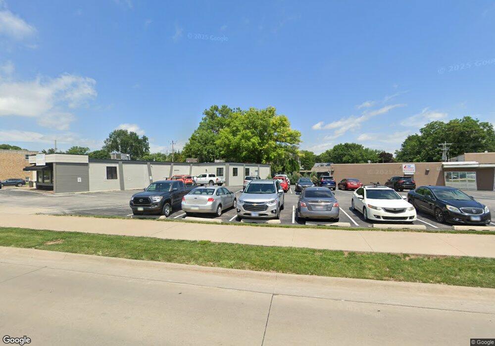
1020 State St Bettendorf, IA 52722
Downtown Bettendorf NeighborhoodEstimated Value: $408,550
Studio
--
Bath
--
Sq Ft
12,589
Sq Ft Lot
About This Home
This home is located at 1020 State St, Bettendorf, IA 52722 and is currently priced at $408,550. 1020 State St is a home located in Scott County with nearby schools including Bettendorf Middle School, Bettendorf High School, and Lourdes Catholic School.
Ownership History
Date
Name
Owned For
Owner Type
Purchase Details
Closed on
Apr 5, 2013
Sold by
Brandt Ray A and Brandt Christine A
Bought by
State Of Iowa
Current Estimated Value
Purchase Details
Closed on
May 11, 2004
Sold by
Heimann Dean F and Heimann Ila Jean
Bought by
Brandt Ray A and Brandt Christine A
Home Financials for this Owner
Home Financials are based on the most recent Mortgage that was taken out on this home.
Original Mortgage
$180,000
Interest Rate
5.78%
Mortgage Type
Future Advance Clause Open End Mortgage
Create a Home Valuation Report for This Property
The Home Valuation Report is an in-depth analysis detailing your home's value as well as a comparison with similar homes in the area
Home Values in the Area
Average Home Value in this Area
Purchase History
| Date | Buyer | Sale Price | Title Company |
|---|---|---|---|
| State Of Iowa | $325,000 | None Available | |
| Brandt Ray A | $225,000 | None Available |
Source: Public Records
Mortgage History
| Date | Status | Borrower | Loan Amount |
|---|---|---|---|
| Previous Owner | Brandt Ray A | $180,000 |
Source: Public Records
Tax History
| Year | Tax Paid | Tax Assessment Tax Assessment Total Assessment is a certain percentage of the fair market value that is determined by local assessors to be the total taxable value of land and additions on the property. | Land | Improvement |
|---|---|---|---|---|
| 2023 | -- | $0 | $0 | $0 |
| 2022 | $0 | $0 | $0 | $0 |
| 2021 | $0 | $0 | $0 | $0 |
| 2020 | $0 | $0 | $0 | $0 |
| 2019 | $0 | $0 | $0 | $0 |
| 2018 | $0 | $0 | $0 | $0 |
| 2017 | $0 | $0 | $0 | $0 |
| 2016 | -- | $0 | $0 | $0 |
| 2015 | -- | $0 | $0 | $0 |
| 2014 | $8,520 | $0 | $0 | $0 |
| 2013 | $8,520 | $0 | $0 | $0 |
| 2012 | $8,520 | $184,650 | $69,300 | $115,350 |
Source: Public Records
Map
Nearby Homes
- 358 Madison Dr
- 817 Grant St
- 686 Jones St
- 5 Riverview Park Dr
- 1104 Kimberly Rd Unit 602
- 1104 Kimberly Rd Unit 603
- 1251 Kimberly Rd
- 1228 Coffelt Ave
- 1224 14th St
- 1360 Kimberly Ridge Rd Unit 111
- 1611 Coffelt Ave
- 1350 Kimberly Ridge Rd Unit 310
- 1360 Heights Ct
- 60 Custer Terrace
- 1446 Lakewood Dr
- 1520 Parklane Dr
- 3215 E Locust St Unit A1-4
- 3215 E Locust St Unit A2-23
- 3015 E 18th St
- 730 25th St
- 1028 State St
- 1032 State St
- 1004 State St
- 1004 State St Unit C
- 1004 State St Unit Ste C
- 1004 State St Unit 2
- 1046 State St
- 327 10th St
- 1040 State St
- 1039 State St Unit 206
- 1039 State St Unit 202
- 1039 State St Unit 205
- 1039 State St Unit 207.5
- 1039 State St Unit 208
- 1039 State St Unit 207
- 1042 State St
- 1021 State St
- 1027 Grant St
- 1011 Grant St
- 326 11th St Unit 1042
Your Personal Tour Guide
Ask me questions while you tour the home.