1020 Swan River Rd Bigfork, MT 59911
Estimated Value: $706,000 - $1,134,000
3
Beds
2
Baths
3,068
Sq Ft
$279/Sq Ft
Est. Value
About This Home
This home is located at 1020 Swan River Rd, Bigfork, MT 59911 and is currently estimated at $856,604, approximately $279 per square foot. 1020 Swan River Rd is a home located in Flathead County with nearby schools including Swan River Elementary School, Swan River Junior High School, and Bigfork High School.
Ownership History
Date
Name
Owned For
Owner Type
Purchase Details
Closed on
Oct 9, 2018
Sold by
Natalia Salagor
Bought by
Norton William D
Current Estimated Value
Purchase Details
Closed on
Jul 24, 2009
Sold by
Norton William Dunkin
Bought by
Norton William D and Salagor Natalia
Create a Home Valuation Report for This Property
The Home Valuation Report is an in-depth analysis detailing your home's value as well as a comparison with similar homes in the area
Home Values in the Area
Average Home Value in this Area
Purchase History
| Date | Buyer | Sale Price | Title Company |
|---|---|---|---|
| Norton William D | -- | None Available | |
| Norton William D | -- | Atec |
Source: Public Records
Tax History
| Year | Tax Paid | Tax Assessment Tax Assessment Total Assessment is a certain percentage of the fair market value that is determined by local assessors to be the total taxable value of land and additions on the property. | Land | Improvement |
|---|---|---|---|---|
| 2025 | $2,194 | $684,900 | $0 | $0 |
| 2024 | $2,789 | $565,200 | $0 | $0 |
| 2023 | $2,917 | $565,200 | $0 | $0 |
| 2022 | $2,754 | $400,500 | $0 | $0 |
| 2021 | $2,747 | $400,500 | $0 | $0 |
| 2020 | $2,586 | $348,900 | $0 | $0 |
| 2019 | $2,516 | $348,900 | $0 | $0 |
| 2018 | $2,483 | $325,500 | $0 | $0 |
| 2017 | $2,262 | $325,500 | $0 | $0 |
| 2016 | $2,339 | $307,500 | $0 | $0 |
| 2015 | $2,148 | $307,500 | $0 | $0 |
| 2014 | $2,231 | $190,747 | $0 | $0 |
Source: Public Records
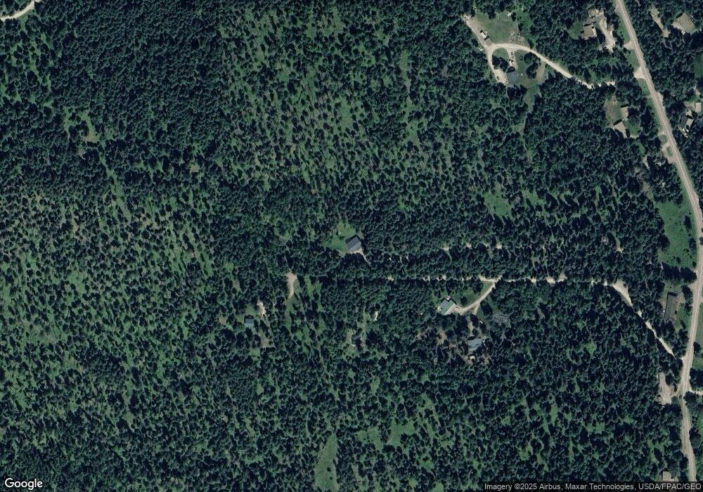
Map
Nearby Homes
- 1150 Swan Hill Dr
- 518 Eastman Dr
- 639 Three Eagle Ln
- 305 Ferndale Dr Unit 41&42
- 305 Ferndale Dr Unit 42
- 305 Ferndale Dr Unit 41
- 72 Pilots Trail
- 115 Ferndale Dr
- Nhn Swan Hill Dr
- 237 Timberjack Trail
- 183 Pinto Trail
- 157 Pinto Trail
- 401 Saddlehorn Trail
- 664 Saddlehorn Trail
- 631 Saddlehorn Trail
- 397 Saddlehorn Trail
- 183 and 171 Chief Cliff Trail
- 253 Chief Cliff Trail
- 453 Chief Cliff Trail
- 222 Trading Post Trail
- 228 Fern Hill Trail
- 186 Fern Hill Trail
- 260 Fern Hill Trail
- 960 Swan River Rd
- 990 Swan River Rd
- 970 Swan River Rd
- 1060 Swan River Rd
- 1040 Swan River Rd
- 944 Swan River Rd
- 930 Swan River Rd
- 975 Swan River Rd
- 945 Swan River Rd
- 945 Swan River Rd
- 985 Swan River Rd
- 1063 Swan River Rd
- 1080 Swan River Rd
- 955 Swan River Rd
- 965 Swan River Rd
- 145 Williams Ln
- 904 Swan River Rd
Your Personal Tour Guide
Ask me questions while you tour the home.