Estimated Value: $195,000 - $370,000
3
Beds
2
Baths
1,449
Sq Ft
$191/Sq Ft
Est. Value
About This Home
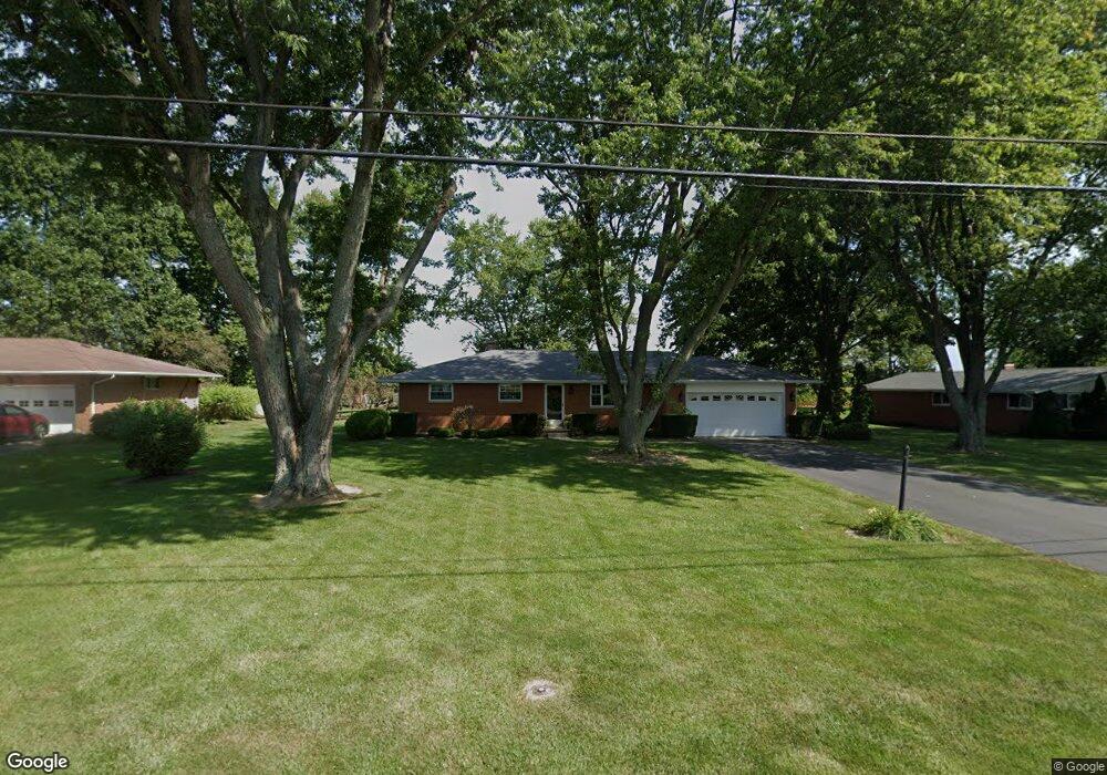
This home is located at 1020 W Main St, Eaton, OH 45320 and is currently estimated at $276,064, approximately $190 per square foot. 1020 W Main St is a home located in Preble County with nearby schools including Hollingsworth East Elementary School, William Bruce Elementary School, and Eaton Middle School.
Ownership History
Date
Name
Owned For
Owner Type
Purchase Details
Closed on
Dec 8, 2006
Sold by
Baxley Frank O and Coleman Rita K
Bought by
Ross Douglas P and Ross Lori L
Current Estimated Value
Home Financials for this Owner
Home Financials are based on the most recent Mortgage that was taken out on this home.
Original Mortgage
$117,200
Outstanding Balance
$70,149
Interest Rate
6.33%
Mortgage Type
Purchase Money Mortgage
Estimated Equity
$205,915
Create a Home Valuation Report for This Property
The Home Valuation Report is an in-depth analysis detailing your home's value as well as a comparison with similar homes in the area
Home Values in the Area
Average Home Value in this Area
Purchase History
| Date | Buyer | Sale Price | Title Company |
|---|---|---|---|
| Ross Douglas P | $146,500 | Freedom Title Company Inc |
Source: Public Records
Mortgage History
| Date | Status | Borrower | Loan Amount |
|---|---|---|---|
| Open | Ross Douglas P | $117,200 |
Source: Public Records
Tax History Compared to Growth
Tax History
| Year | Tax Paid | Tax Assessment Tax Assessment Total Assessment is a certain percentage of the fair market value that is determined by local assessors to be the total taxable value of land and additions on the property. | Land | Improvement |
|---|---|---|---|---|
| 2024 | $2,088 | $59,500 | $14,000 | $45,500 |
| 2023 | $2,088 | $59,500 | $14,000 | $45,500 |
| 2022 | $2,123 | $50,130 | $11,450 | $38,680 |
| 2021 | $2,230 | $50,130 | $11,450 | $38,680 |
| 2020 | $2,146 | $50,130 | $11,450 | $38,680 |
| 2019 | $1,972 | $45,580 | $10,400 | $35,180 |
| 2018 | $2,035 | $45,580 | $10,400 | $35,180 |
| 2017 | $1,889 | $45,580 | $10,400 | $35,180 |
| 2016 | $1,745 | $42,150 | $10,120 | $32,030 |
| 2014 | $1,715 | $42,150 | $10,120 | $32,030 |
| 2013 | $1,772 | $42,140 | $10,115 | $32,025 |
Source: Public Records
Map
Nearby Homes
- 636 Skodborg Dr
- 115 Woodland Dr
- 0 & 00 Washington Jackson Rd
- 405 Walnut St
- 331 W Chicago St
- 124 Deem St
- 111 W High St
- 233 N Barron St
- 230 W Spring St
- 210 W Spring St
- 115 E Decatur St
- 125 E Decatur St
- 0-00 Washington Jackson Rd
- 219 E High St
- 919 N Barron St
- 612 N Cherry St
- 105 Leatherman Place
- 414 N Maple St
- 309 Liberty St
- 3525 South St
- 1023 State Route 122 W
- 1132 W Main St
- 1027 State Route 122 W
- 1128 W Main St
- 0 New Hope Rd Unit 10047941
- 1049 State Route 122 W
- 1009 W Main St
- 946 W Main St
- 946 W Main St
- 1051 State Route 122 W
- 204 S Elm St
- 1005 W Main St
- 928 W Main St
- 1001 W Main St
- 1387 State Route 122 W
- 924 W Main St
- 999 W Main St
- 922 W Main St
- 921 W Main St
- 920 W Main St