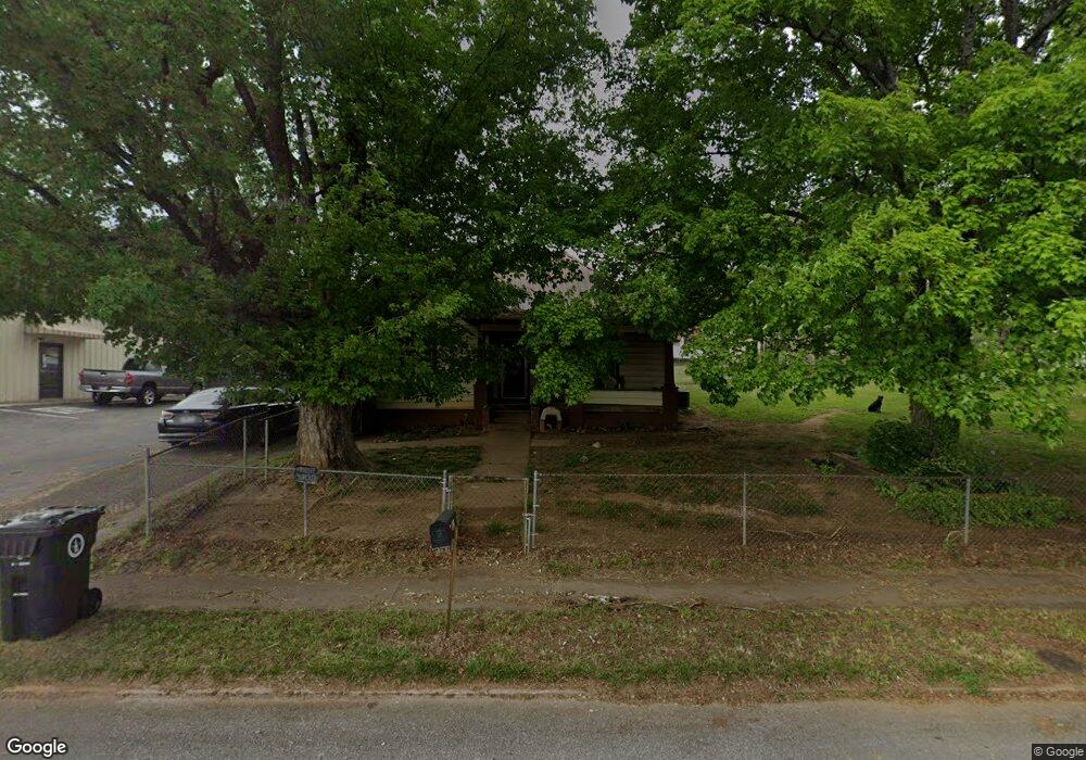
1020 W Main St Morristown, TN 37814
Estimated Value: $62,845 - $285,000
--
Bed
1
Bath
1,380
Sq Ft
$126/Sq Ft
Est. Value
About This Home
This home is located at 1020 W Main St, Morristown, TN 37814 and is currently estimated at $174,461, approximately $126 per square foot. 1020 W Main St is a home located in Hamblen County with nearby schools including West Elementary School, Lincoln Heights Middle School, and Morristown West High School.
Ownership History
Date
Name
Owned For
Owner Type
Purchase Details
Closed on
Nov 7, 2024
Sold by
Johnson Rosemary and Johnson Gary
Bought by
Turner Isaac Dale and Millwood Paunita
Current Estimated Value
Home Financials for this Owner
Home Financials are based on the most recent Mortgage that was taken out on this home.
Original Mortgage
$61,162
Outstanding Balance
$60,549
Interest Rate
6.08%
Mortgage Type
New Conventional
Estimated Equity
$113,912
Purchase Details
Closed on
Sep 16, 2002
Sold by
Carter Paunita J
Bought by
Johnson Johnny
Purchase Details
Closed on
Jan 26, 1980
Bought by
Johnson Isaac and Johnson Mary
Create a Home Valuation Report for This Property
The Home Valuation Report is an in-depth analysis detailing your home's value as well as a comparison with similar homes in the area
Home Values in the Area
Average Home Value in this Area
Purchase History
| Date | Buyer | Sale Price | Title Company |
|---|---|---|---|
| Turner Isaac Dale | $60,000 | Lakeway Title Services | |
| Turner Isaac Dale | $60,000 | Lakeway Title Services | |
| Johnson Johnny | -- | -- | |
| Johnson Isaac | $22,000 | -- |
Source: Public Records
Mortgage History
| Date | Status | Borrower | Loan Amount |
|---|---|---|---|
| Open | Turner Isaac Dale | $61,162 | |
| Closed | Turner Isaac Dale | $61,162 |
Source: Public Records
Tax History Compared to Growth
Tax History
| Year | Tax Paid | Tax Assessment Tax Assessment Total Assessment is a certain percentage of the fair market value that is determined by local assessors to be the total taxable value of land and additions on the property. | Land | Improvement |
|---|---|---|---|---|
| 2024 | $364 | $20,700 | $16,475 | $4,225 |
| 2023 | $364 | $20,700 | $0 | $0 |
| 2022 | $654 | $20,700 | $16,475 | $4,225 |
| 2021 | $654 | $20,700 | $16,475 | $4,225 |
| 2020 | $653 | $20,700 | $16,475 | $4,225 |
| 2019 | $700 | $20,600 | $16,650 | $3,950 |
| 2018 | $649 | $20,600 | $16,650 | $3,950 |
| 2017 | $638 | $20,600 | $16,650 | $3,950 |
| 2016 | $610 | $20,600 | $16,650 | $3,950 |
| 2015 | $567 | $20,600 | $16,650 | $3,950 |
| 2014 | -- | $20,600 | $16,650 | $3,950 |
| 2013 | -- | $20,850 | $0 | $0 |
Source: Public Records
Map
Nearby Homes
- 816 W 2nd St N
- 722 W 2nd St N
- 1002 Watercrest St
- 1211 W 6th St N
- 837 Pauline Ave
- 1530 Rayburn Dr
- 440 S Fairmont Ave
- 529 N Jackson St
- 1476 Darbee Dr
- 731 Lennie Ave
- 0 Mcfarland St
- 2078 Edgewater Sound Rd
- 912 N Church St
- 900 Baird Ave
- 1442 Darbee Dr
- 323 Pauline Ave
- 811 Crescent St
- 203 Lincoln Ave
- 118 E 3rd St N
- 120 E 5th North St
- 1003 W Main St
- 1013 W 1st North St
- Tract 11 Highway 31
- Tract 10 Highway 31
- Tract 1 Highway 31
- 106 N High St
- 1018 W 1st North St
- 927 W 1st St N
- 927 & 929 W 1st St N
- 1004 W 1st North St
- 1038 W 1st St N
- 1038 W 1st North St
- 1017 W 2nd North St
- 923 W 1st North St
- 910 W Main St
- 921 W 1st North St
- 1009 W 2nd North St
- 1113 W 1st North St
- 1113 W 1st St N
- 927 W 1st North St