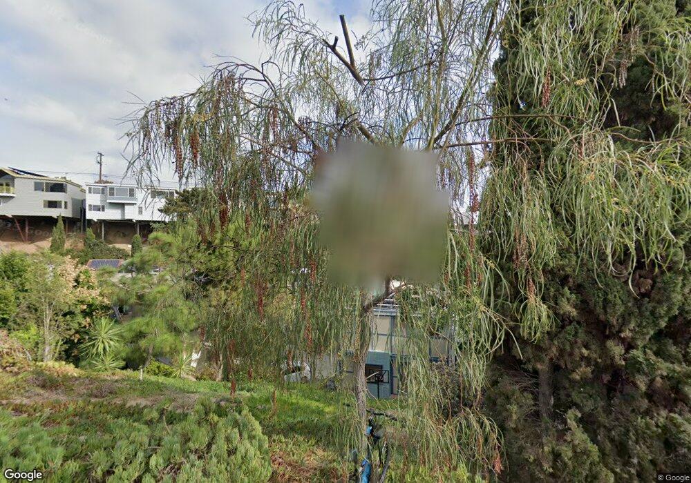
1020 W Upas St San Diego, CA 92103
Middletown NeighborhoodEstimated Value: $1,695,000 - $2,048,000
3
Beds
4
Baths
2,466
Sq Ft
$748/Sq Ft
Est. Value
About This Home
This home is located at 1020 W Upas St, San Diego, CA 92103 and is currently estimated at $1,843,982, approximately $747 per square foot. 1020 W Upas St is a home located in San Diego County with nearby schools including Grant K-8, Richard Henry Dana Middle School, and Roosevelt International Middle School.
Ownership History
Date
Name
Owned For
Owner Type
Purchase Details
Closed on
Dec 17, 2024
Sold by
Rice Thomas H Speedy and Clarke Judy
Bought by
Rice-Clarke Trust and Rice
Current Estimated Value
Purchase Details
Closed on
Mar 12, 2010
Sold by
Rice Thomas H and Clarke Judy
Bought by
Rice Thomas H Speedy and Clarke Judy
Purchase Details
Closed on
Sep 25, 1987
Bought by
Rice Thomas H Clarke Judy
Purchase Details
Closed on
Nov 30, 1984
Create a Home Valuation Report for This Property
The Home Valuation Report is an in-depth analysis detailing your home's value as well as a comparison with similar homes in the area
Home Values in the Area
Average Home Value in this Area
Purchase History
| Date | Buyer | Sale Price | Title Company |
|---|---|---|---|
| Rice-Clarke Trust | -- | None Listed On Document | |
| Rice-Clarke Trust | -- | None Listed On Document | |
| Rice Thomas H Speedy | -- | None Available | |
| Rice Thomas H Clarke Judy | $230,000 | -- | |
| -- | $140,000 | -- |
Source: Public Records
Tax History Compared to Growth
Tax History
| Year | Tax Paid | Tax Assessment Tax Assessment Total Assessment is a certain percentage of the fair market value that is determined by local assessors to be the total taxable value of land and additions on the property. | Land | Improvement |
|---|---|---|---|---|
| 2025 | $6,365 | $532,921 | $139,921 | $393,000 |
| 2024 | $6,365 | $522,473 | $137,178 | $385,295 |
| 2023 | $6,223 | $512,230 | $134,489 | $377,741 |
| 2022 | $6,056 | $502,187 | $131,852 | $370,335 |
| 2021 | $6,013 | $492,341 | $129,267 | $363,074 |
| 2020 | $5,940 | $487,294 | $127,942 | $359,352 |
| 2019 | $5,832 | $477,740 | $125,434 | $352,306 |
| 2018 | $5,452 | $468,374 | $122,975 | $345,399 |
| 2017 | $5,321 | $459,191 | $120,564 | $338,627 |
| 2016 | $5,234 | $450,188 | $118,200 | $331,988 |
| 2015 | $5,156 | $443,427 | $116,425 | $327,002 |
| 2014 | $5,073 | $434,742 | $114,145 | $320,597 |
Source: Public Records
Map
Nearby Homes
- 3505 Ibis St
- 3354 Hawk St
- 3448 Goldfinch St
- 3320 Horton Ave
- 3318-20 Union St
- 3635 Kite St
- 3467 Reynard Way Unit A
- 3109 Hawk St
- 3206-16 Reynard Way
- 3157 Harbor Ridge Ln Unit 2214
- 3535 Columbia St
- 3531 Columbia St
- 3460 Columbia St
- 3243-45 Columbia St
- 1570 Linwood St
- 1313 Terracina Ln
- 1235 1239 Lincoln Ave
- 1617 Chalmers St
- 1295 W Redwood St
- 1034 W Quince St
