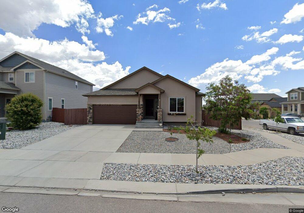
10201 Boulder Ridge Dr Peyton, CO 80831
Falcon NeighborhoodEstimated Value: $513,690 - $590,000
5
Beds
3
Baths
3,148
Sq Ft
$174/Sq Ft
Est. Value
About This Home
This home is located at 10201 Boulder Ridge Dr, Peyton, CO 80831 and is currently estimated at $548,923, approximately $174 per square foot. 10201 Boulder Ridge Dr is a home located in El Paso County with nearby schools including Meridian Ranch Elementary School, Falcon Middle School, and Falcon High School.
Ownership History
Date
Name
Owned For
Owner Type
Purchase Details
Closed on
Apr 28, 2023
Sold by
Hpa Us1 Llc
Bought by
Hpa Jv Borrower 2019-1 Ml Llc
Current Estimated Value
Purchase Details
Closed on
Nov 1, 2021
Sold by
Tafoya Jimmy A
Bought by
Hp A Us1 Llc
Purchase Details
Closed on
Dec 13, 2016
Sold by
Saint Aubyn Homes Llc
Bought by
Tafoya Jimmy A
Home Financials for this Owner
Home Financials are based on the most recent Mortgage that was taken out on this home.
Original Mortgage
$332,962
Interest Rate
3.57%
Mortgage Type
VA
Create a Home Valuation Report for This Property
The Home Valuation Report is an in-depth analysis detailing your home's value as well as a comparison with similar homes in the area
Home Values in the Area
Average Home Value in this Area
Purchase History
| Date | Buyer | Sale Price | Title Company |
|---|---|---|---|
| Hpa Jv Borrower 2019-1 Ml Llc | -- | None Listed On Document | |
| Hp A Us1 Llc | $520,000 | Realtech Title Llc | |
| Tafoya Jimmy A | $333,000 | Heritage Title Co |
Source: Public Records
Mortgage History
| Date | Status | Borrower | Loan Amount |
|---|---|---|---|
| Previous Owner | Tafoya Jimmy A | $332,962 |
Source: Public Records
Tax History
| Year | Tax Paid | Tax Assessment Tax Assessment Total Assessment is a certain percentage of the fair market value that is determined by local assessors to be the total taxable value of land and additions on the property. | Land | Improvement |
|---|---|---|---|---|
| 2025 | $3,191 | $34,080 | -- | -- |
| 2024 | $3,066 | $34,910 | $6,420 | $28,490 |
| 2022 | $2,667 | $26,430 | $5,020 | $21,410 |
| 2021 | $2,766 | $27,200 | $5,170 | $22,030 |
| 2020 | $2,650 | $24,160 | $4,680 | $19,480 |
| 2019 | $2,635 | $24,160 | $4,680 | $19,480 |
| 2018 | $2,459 | $22,320 | $4,280 | $18,040 |
| 2017 | $2,326 | $22,320 | $4,280 | $18,040 |
| 2016 | $31 | $300 | $300 | $0 |
Source: Public Records
Map
Nearby Homes
- 10214 Prairie Ridge Ct
- 13256 Park Meadows Dr
- 10361 Boulder Ridge Dr
- 12980 Stone Valley Dr
- 10247 Hidden Park Way
- 13559 Woods Grove Dr
- 10104 Bluffstone Ct
- 13100 Stone Valley Dr
- 9891 Hidden Ranch Ct
- 12868 Stone Valley Dr
- 13165 Stone Peaks Way
- 9818 Hidden Ranch Ct
- 9962 Hidden Ranch Ct
- 10012 Emerald Vista Dr
- 12828 Stone Valley Dr
- 10417 Mt Lincoln Dr
- 10511 Summer Ridge Dr
- 10534 Summer Ridge Dr
- 10482 Rolling Peaks Dr
- 9820 Meridian Hills Trail
- 10217 Boulder Ridge Dr
- 13401 Park Meadows Dr
- 13413 Park Meadows Dr Unit D
- 10206 Prairie Ridge Ct
- 13425 Park Meadows Dr
- 10233 Boulder Ridge Dr
- 13365 Park Meadows Dr
- 10202 Boulder Ridge Dr
- 13437 Park Meadows Dr
- 13365 Park Meadows Dr
- 10218 Boulder Ridge Dr
- 10222 Prairie Ridge Ct
- 10249 Boulder Ridge Dr
- 13353 Park Meadows Dr
- 13449 Park Meadows Dr
- 10230 Prairie Ridge Ct
- 10265 Boulder Ridge Dr
- 13461 Park Meadows Dr
- 10205 Prairie Ridge Ct
- 10238 Prairie Ridge Ct
Your Personal Tour Guide
Ask me questions while you tour the home.