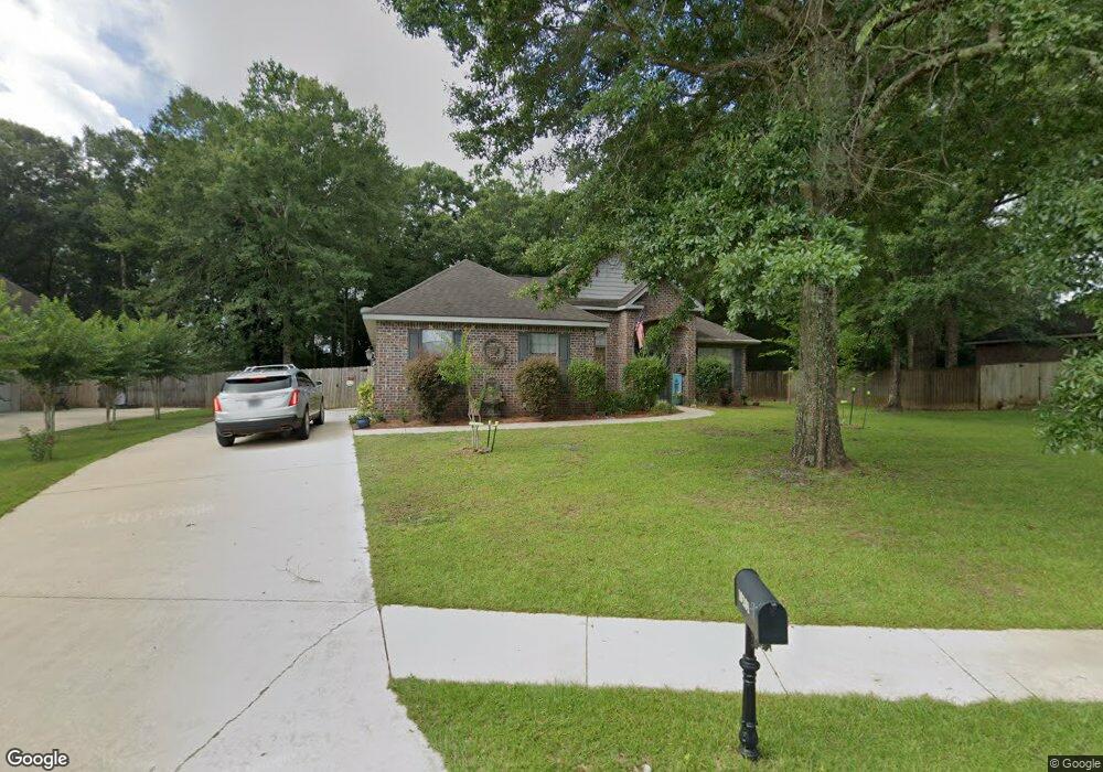
10201 Hunters Trace S Mobile, AL 36608
Pierce Creek NeighborhoodEstimated Value: $295,813 - $363,000
3
Beds
2
Baths
2,200
Sq Ft
$147/Sq Ft
Est. Value
About This Home
This home is located at 10201 Hunters Trace S, Mobile, AL 36608 and is currently estimated at $322,953, approximately $146 per square foot. 10201 Hunters Trace S is a home located in Mobile County with nearby schools including Taylor White Elementary School, Bernice J Causey Middle School, and Baker High School.
Ownership History
Date
Name
Owned For
Owner Type
Purchase Details
Closed on
Dec 21, 2013
Sold by
Zadi Jaron S and Crusoe Allison S
Bought by
Messer Robbert Terrell and Messer Peggy Sue
Current Estimated Value
Home Financials for this Owner
Home Financials are based on the most recent Mortgage that was taken out on this home.
Original Mortgage
$167,100
Interest Rate
4.43%
Mortgage Type
VA
Purchase Details
Closed on
Jul 21, 2011
Sold by
Weil Lawrence and Stearns Weil Kimberly
Bought by
Zadi Jaron S and Crusoe Allison S
Home Financials for this Owner
Home Financials are based on the most recent Mortgage that was taken out on this home.
Original Mortgage
$141,236
Interest Rate
4.52%
Mortgage Type
New Conventional
Create a Home Valuation Report for This Property
The Home Valuation Report is an in-depth analysis detailing your home's value as well as a comparison with similar homes in the area
Home Values in the Area
Average Home Value in this Area
Purchase History
| Date | Buyer | Sale Price | Title Company |
|---|---|---|---|
| Messer Robbert Terrell | $187,100 | None Available | |
| Zadi Jaron S | -- | None Available |
Source: Public Records
Mortgage History
| Date | Status | Borrower | Loan Amount |
|---|---|---|---|
| Previous Owner | Messer Robbert Terrell | $167,100 | |
| Previous Owner | Zadi Jaron S | $141,236 |
Source: Public Records
Tax History Compared to Growth
Tax History
| Year | Tax Paid | Tax Assessment Tax Assessment Total Assessment is a certain percentage of the fair market value that is determined by local assessors to be the total taxable value of land and additions on the property. | Land | Improvement |
|---|---|---|---|---|
| 2024 | $1,228 | $25,760 | $4,500 | $21,260 |
| 2023 | $1,252 | $24,270 | $4,500 | $19,770 |
| 2022 | $1,004 | $22,070 | $4,500 | $17,570 |
| 2021 | $959 | $21,150 | $4,500 | $16,650 |
| 2020 | $968 | $21,340 | $4,500 | $16,840 |
| 2019 | $967 | $21,320 | $0 | $0 |
| 2018 | $979 | $21,560 | $0 | $0 |
| 2017 | $1,027 | $21,120 | $0 | $0 |
| 2016 | $976 | $21,500 | $0 | $0 |
| 2013 | $922 | $19,520 | $0 | $0 |
Source: Public Records
Map
Nearby Homes
- 10173 Hunters Trace
- 1040 Wakefield Dr W
- 1031 Seven Hills Dr
- 10372 Heirloom Rd S
- 10386 Heirloom Rd S
- 10398 Heirloom Rd S
- 0 Browning Place Ct Unit 7487969
- 10426 Heirloom Rd S
- 10435 Heirloom Rd S
- 10440 Heirloom Rd S
- 0 Lifeline Ct Unit 7621162
- 11900 Airport Blvd
- 1138 Provision Rd
- 10706 Relic Rd N
- 1168 Provision Rd
- 10587 Relic Rd S
- 10564 Heirloom Rd S
- 9841 Shadow Wood Dr
- The Hawthorne Plan at Heritage Lake
- The Camden Plan at Heritage Lake
- 10201 Hunters Trace
- 10187 Hunters Trace S
- 10187 Hunters Trace
- 10215 Hunters Trace
- 10215 Hunters Trace
- 10215 Hunters Trace S
- 10202 Hunters Trace
- 10202 Hunters Trace S
- 10173 Hunters Trace S
- 10216 Hunters Trace S
- 10174 Hunters Trace S
- 10188 Hunters Trace
- 10174 Hunters Trace
- 841 Dykes Rd S
- 851 Dykes Rd S Unit 1
- 10216 Hunters Trace
- 861 Dykes Rd S
- 10159 Hunters Trace
- 10160 Hunters Trace S
- 815 Dykes Rd S