10201 Mason Rd Cheyenne, WY 82009
Ranchettes NeighborhoodEstimated Value: $553,000 - $650,560
3
Beds
3
Baths
1,647
Sq Ft
$358/Sq Ft
Est. Value
About This Home
This home is located at 10201 Mason Rd, Cheyenne, WY 82009 and is currently estimated at $590,187, approximately $358 per square foot. 10201 Mason Rd is a home located in Laramie County with nearby schools including Anderson Elementary School, Carey Junior High School, and East High School.
Ownership History
Date
Name
Owned For
Owner Type
Purchase Details
Closed on
Sep 16, 2022
Sold by
Huber Thomas L and Huber Robin L
Bought by
Henry Rory and Henry Lacey
Current Estimated Value
Home Financials for this Owner
Home Financials are based on the most recent Mortgage that was taken out on this home.
Original Mortgage
$374,000
Outstanding Balance
$356,555
Interest Rate
4.99%
Mortgage Type
New Conventional
Estimated Equity
$233,632
Purchase Details
Closed on
Jun 21, 2019
Sold by
Huber Robin and Estate Of Anenlies R Cartmill
Bought by
Huber Thomas L and Huber Robin L
Purchase Details
Closed on
Aug 25, 2005
Sold by
Cartmill Charles L and Cartmill Annelies R
Bought by
Rebecca L Terfehr Revocable Trust
Create a Home Valuation Report for This Property
The Home Valuation Report is an in-depth analysis detailing your home's value as well as a comparison with similar homes in the area
Home Values in the Area
Average Home Value in this Area
Purchase History
| Date | Buyer | Sale Price | Title Company |
|---|---|---|---|
| Henry Rory | -- | First American Title | |
| Henry Rory | -- | First American Title | |
| Huber Thomas L | -- | First American | |
| Rebecca L Terfehr Revocable Trust | $130,000 | -- |
Source: Public Records
Mortgage History
| Date | Status | Borrower | Loan Amount |
|---|---|---|---|
| Open | Henry Rory | $374,000 | |
| Closed | Henry Rory | $374,000 |
Source: Public Records
Tax History Compared to Growth
Tax History
| Year | Tax Paid | Tax Assessment Tax Assessment Total Assessment is a certain percentage of the fair market value that is determined by local assessors to be the total taxable value of land and additions on the property. | Land | Improvement |
|---|---|---|---|---|
| 2025 | $3,025 | $35,830 | $9,467 | $26,363 |
| 2024 | $3,025 | $45,003 | $12,623 | $32,380 |
| 2023 | $2,891 | $43,995 | $12,623 | $31,372 |
| 2022 | $2,440 | $36,323 | $10,143 | $26,180 |
| 2021 | $2,294 | $34,062 | $10,582 | $23,480 |
| 2020 | $2,233 | $33,261 | $10,359 | $22,902 |
| 2019 | $2,124 | $31,606 | $9,815 | $21,791 |
| 2018 | $1,882 | $31,295 | $9,312 | $21,983 |
| 2017 | $1,701 | $28,319 | $7,600 | $20,719 |
| 2016 | $1,635 | $27,331 | $7,515 | $19,816 |
| 2015 | $1,656 | $27,635 | $7,515 | $20,120 |
| 2014 | $1,607 | $26,735 | $7,515 | $19,220 |
Source: Public Records
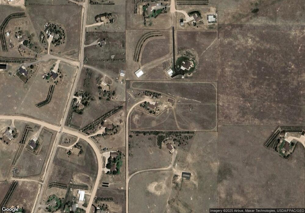
Map
Nearby Homes
- 9404 Wayne Rd
- 1745 Silver Spur Rd
- 2918 Sitting Bull Rd
- 5124 Sullivan St
- 8012 Bobcat Rd
- 8704 Cowpoke Rd
- 8007 Kepler Dr
- 3033 Crazy Horse Rd
- TBD Kepler Dr
- 2533 Moonlight Ct
- 714 E Ole Maverick Rd
- 1348 Jessi Dr
- 2500 Moonlight Ct
- 1348 Jack Ln
- 1218 Wendy Ln
- 1336 Jessi Dr
- 1314 Marie Ln
- 7612 Danni Marie Cir
- 808 E Laughlin Rd
- 1236 Jessi Dr
- 10011 Mason Rd
- 10105 Carbine Trail
- 10205 Powderhouse Rd
- 10411 Beartooth Dr
- 10003 Carbine Trail
- 10319 Powderhouse Rd
- 10115 Powderhouse Rd
- 10414 Beartooth Dr
- 10413 Powderhouse Rd
- 2223 Summerhill Ct
- 9910 Carbine Trail
- 9901 Carbine Trail
- 2226 Summerhill Ct
- 10514 Beartooth Dr
- 10515 Beartooth Dr
- 10121 Branding Iron Dr
- 10513 Powderhouse Rd
- 2115 Summerhill Ct
- 2616 E Riding Club Rd
- 9915 Powderhouse Rd