10201 Nissi Way Unit 18 Soddy Daisy, TN 37379
Estimated Value: $393,808 - $427,000
--
Bed
2
Baths
1,855
Sq Ft
$221/Sq Ft
Est. Value
About This Home
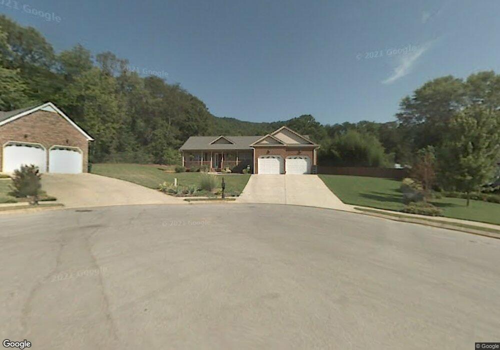
This home is located at 10201 Nissi Way Unit 18, Soddy Daisy, TN 37379 and is currently estimated at $409,202, approximately $220 per square foot. 10201 Nissi Way Unit 18 is a home located in Hamilton County with nearby schools including Ivy Academy Inc and New South Daisy Christian Academy.
Ownership History
Date
Name
Owned For
Owner Type
Purchase Details
Closed on
Feb 28, 2018
Sold by
Skates Patricia Ann
Bought by
Stovall Deborah A
Current Estimated Value
Purchase Details
Closed on
Apr 18, 2005
Sold by
Elrod Construction Llc
Bought by
Skates Patricia Ann
Home Financials for this Owner
Home Financials are based on the most recent Mortgage that was taken out on this home.
Original Mortgage
$164,350
Interest Rate
9.87%
Mortgage Type
Fannie Mae Freddie Mac
Purchase Details
Closed on
Mar 26, 2002
Sold by
Stevens Greg
Bought by
Higgins Barry Keith
Create a Home Valuation Report for This Property
The Home Valuation Report is an in-depth analysis detailing your home's value as well as a comparison with similar homes in the area
Home Values in the Area
Average Home Value in this Area
Purchase History
| Date | Buyer | Sale Price | Title Company |
|---|---|---|---|
| Stovall Deborah A | $224,900 | None Available | |
| Skates Patricia Ann | $173,000 | -- | |
| Higgins Barry Keith | -- | Northgate Title Escrow Inc |
Source: Public Records
Mortgage History
| Date | Status | Borrower | Loan Amount |
|---|---|---|---|
| Previous Owner | Skates Patricia Ann | $164,350 |
Source: Public Records
Tax History Compared to Growth
Tax History
| Year | Tax Paid | Tax Assessment Tax Assessment Total Assessment is a certain percentage of the fair market value that is determined by local assessors to be the total taxable value of land and additions on the property. | Land | Improvement |
|---|---|---|---|---|
| 2024 | $1,352 | $60,450 | $0 | $0 |
| 2023 | $2,036 | $60,450 | $0 | $0 |
| 2022 | $2,036 | $60,450 | $0 | $0 |
| 2021 | $2,036 | $60,450 | $0 | $0 |
| 2020 | $2,114 | $51,125 | $0 | $0 |
| 2019 | $2,114 | $51,125 | $0 | $0 |
| 2018 | $2,114 | $51,125 | $0 | $0 |
| 2017 | $2,114 | $51,125 | $0 | $0 |
| 2016 | $2,032 | $0 | $0 | $0 |
| 2015 | $2,032 | $49,125 | $0 | $0 |
| 2014 | $2,032 | $0 | $0 | $0 |
Source: Public Records
Map
Nearby Homes
- 110 Mountain View Dr
- 110 Mountainview Dr
- 168 Turner Rd
- 10280 Card Rd
- 10206 Card Rd
- 9851 Millsaps St
- 9839 Walnut St
- 201 Northern Trails Dr
- 203 Northern Trails Dr
- 1532 Hotwater Rd
- 13212 Dayton Pike
- 874 Ponderosa Dr
- 841 Sluder Ln
- 10192 Big Pine Ln
- 698 Green Pond Rd
- 9885 Lovell Rd
- 0 Lovell Rd Unit 1523036
- 623 Sunset Valley Dr
- 9811 Lovell Rd
- 9606 Shooting Star Cir