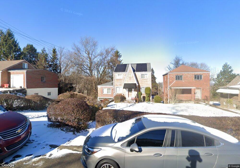
10201 Pearl Rd Pittsburgh, PA 15235
Penn Hills Township NeighborhoodEstimated Value: $146,000 - $168,079
3
Beds
1
Bath
1,432
Sq Ft
$111/Sq Ft
Est. Value
About This Home
This home is located at 10201 Pearl Rd, Pittsburgh, PA 15235 and is currently estimated at $158,270, approximately $110 per square foot. 10201 Pearl Rd is a home located in Allegheny County with nearby schools including Penn Hills Elementary School, Linton Middle School, and Penn Hills Senior High School.
Ownership History
Date
Name
Owned For
Owner Type
Purchase Details
Closed on
Oct 21, 2005
Sold by
Brogneri Carmela
Bought by
Walker Aaron
Current Estimated Value
Home Financials for this Owner
Home Financials are based on the most recent Mortgage that was taken out on this home.
Original Mortgage
$60,000
Outstanding Balance
$31,837
Interest Rate
5.72%
Mortgage Type
New Conventional
Estimated Equity
$126,433
Create a Home Valuation Report for This Property
The Home Valuation Report is an in-depth analysis detailing your home's value as well as a comparison with similar homes in the area
Home Values in the Area
Average Home Value in this Area
Purchase History
| Date | Buyer | Sale Price | Title Company |
|---|---|---|---|
| Walker Aaron | $66,000 | -- |
Source: Public Records
Mortgage History
| Date | Status | Borrower | Loan Amount |
|---|---|---|---|
| Open | Walker Aaron | $60,000 |
Source: Public Records
Tax History Compared to Growth
Tax History
| Year | Tax Paid | Tax Assessment Tax Assessment Total Assessment is a certain percentage of the fair market value that is determined by local assessors to be the total taxable value of land and additions on the property. | Land | Improvement |
|---|---|---|---|---|
| 2025 | $3,049 | $73,000 | $12,500 | $60,500 |
| 2024 | $3,049 | $73,000 | $12,500 | $60,500 |
| 2023 | $3,049 | $73,000 | $12,500 | $60,500 |
| 2022 | $3,013 | $73,000 | $12,500 | $60,500 |
| 2021 | $3,013 | $73,000 | $12,500 | $60,500 |
| 2020 | $2,908 | $73,000 | $12,500 | $60,500 |
| 2019 | $2,908 | $73,000 | $12,500 | $60,500 |
| 2018 | $345 | $73,000 | $12,500 | $60,500 |
| 2017 | $2,663 | $73,000 | $12,500 | $60,500 |
| 2016 | $345 | $73,000 | $12,500 | $60,500 |
| 2015 | $345 | $73,000 | $12,500 | $60,500 |
| 2014 | $2,505 | $73,000 | $12,500 | $60,500 |
Source: Public Records
Map
Nearby Homes
- 507 Bon Air Rd
- 225 Bon Air Rd
- 10207 Frankstown Rd
- 117 Johnston Rd
- 10214 Frankstown Rd
- 204 Bart Dr
- 440 Lee Dr
- 231 Evaline St
- 143 Howard St
- 9620 Emerson St
- 9216 Florida Ave Unit 9218
- 8085 Aber Rd
- 200 Champa St
- 3013 Hebron Dr
- 108 Lavern St
- 9600 Frankstown Rd
- 9215 Vantine St
- 111 Clinton Dr
- 307 Dorothy Dr
- 2173 Sampson St
- 10203 Pearl Rd
- 10171 Pearl Rd
- 10144 Pearl Rd
- 10207 Pearl Rd
- 10155 Pearl Rd
- 10200 Pearl Rd
- 10204 Clair Ave
- 10202 Pearl Rd
- 10209 Pearl Rd
- 10152 Clair Ave
- 10156 Clair Ave
- 10146 Clair Ave
- 10170 Pearl Rd
- 146 Robyn Dr
- 10208 Clair Ave
- 10204 Pearl Rd
- 10151 Pearl Rd
- 10144 Clair Ave
- 10211 Pearl Rd
- 10158 Pearl Rd