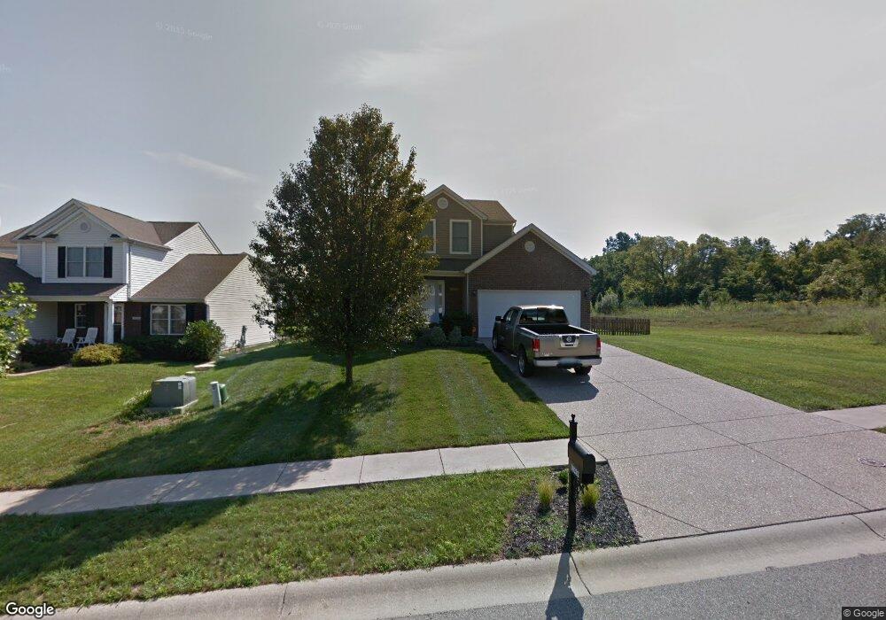
10203 Mountain Laurel Ln Louisville, KY 40228
Estimated Value: $305,524 - $322,000
3
Beds
3
Baths
1,512
Sq Ft
$209/Sq Ft
Est. Value
About This Home
This home is located at 10203 Mountain Laurel Ln, Louisville, KY 40228 and is currently estimated at $316,381, approximately $209 per square foot. 10203 Mountain Laurel Ln is a home located in Jefferson County with nearby schools including Wilt Elementary School, Bates Elementary School, and Wheeler Elementary School.
Ownership History
Date
Name
Owned For
Owner Type
Purchase Details
Closed on
May 19, 2006
Sold by
Dominion Homes Of Kentucky Ltd
Bought by
Wells Chris and Mcculla Kristen
Current Estimated Value
Home Financials for this Owner
Home Financials are based on the most recent Mortgage that was taken out on this home.
Original Mortgage
$176,376
Outstanding Balance
$102,733
Interest Rate
6.5%
Mortgage Type
FHA
Estimated Equity
$213,648
Create a Home Valuation Report for This Property
The Home Valuation Report is an in-depth analysis detailing your home's value as well as a comparison with similar homes in the area
Home Values in the Area
Average Home Value in this Area
Purchase History
| Date | Buyer | Sale Price | Title Company |
|---|---|---|---|
| Wells Chris | $182,875 | Chicago Title |
Source: Public Records
Mortgage History
| Date | Status | Borrower | Loan Amount |
|---|---|---|---|
| Open | Wells Chris | $176,376 |
Source: Public Records
Tax History Compared to Growth
Tax History
| Year | Tax Paid | Tax Assessment Tax Assessment Total Assessment is a certain percentage of the fair market value that is determined by local assessors to be the total taxable value of land and additions on the property. | Land | Improvement |
|---|---|---|---|---|
| 2024 | -- | $214,350 | $41,340 | $173,010 |
| 2023 | $2,525 | $214,350 | $41,340 | $173,010 |
| 2022 | $2,534 | $182,360 | $40,000 | $142,360 |
| 2021 | $2,325 | $182,360 | $40,000 | $142,360 |
| 2020 | $2,165 | $182,360 | $40,000 | $142,360 |
| 2019 | $1,976 | $182,360 | $40,000 | $142,360 |
| 2018 | $1,952 | $182,360 | $40,000 | $142,360 |
| 2017 | $1,914 | $182,360 | $40,000 | $142,360 |
| 2013 | $1,829 | $182,880 | $29,000 | $153,880 |
Source: Public Records
Map
Nearby Homes
- 8112 Cedar Meadows Ln
- 8114 Cedar Meadows Ln
- 8905 Amaranth Dr
- 8109 Cedar Meadows Ln
- 8308 Fairmount Rd
- 8304 Fairmount Rd
- 8311 Fairmount Rd
- 8309 Fairmount Rd
- Lot 2 Fairmount Cove
- 8303 Fairmount Rd
- 8802 Fairmount Cove Place
- Harmony Plan at Cedar Brook
- Chatham Plan at Cedar Brook
- Henley Plan at Cedar Brook
- STAMFORD Plan at Cedar Brook
- LYNDHURST Plan at Cedar Brook
- Bellamy Plan at Cedar Brook
- 10403 Cedar Meadows Ct
- 8702 Pitch Pine Way
- 10627 Brookchase Ct
- 10201 Mountain Laurel Ln
- 9002 Teak Dr
- 9004 Teak Dr
- 10202 Mountain Laurel Ln
- 10200 Mountain Laurel Ln
- 10105 Mountain Laurel Ln
- 9006 Teak Dr
- 10001 Hornbeam Blvd
- 8906 Teak Dr
- 9008 Teak Dr
- 10102 Mountain Laurel Ln
- 10003 Hornbeam Blvd
- 8904 Teak Dr
- 9010 Teak Dr
- 10000 Hornbeam Blvd
- 10101 Mountain Laurel Ln
- 10100 Mountain Laurel Ln
- 10005 Hornbeam Blvd
- 8907 Teak Dr
- 10203 Wood Violet Ct