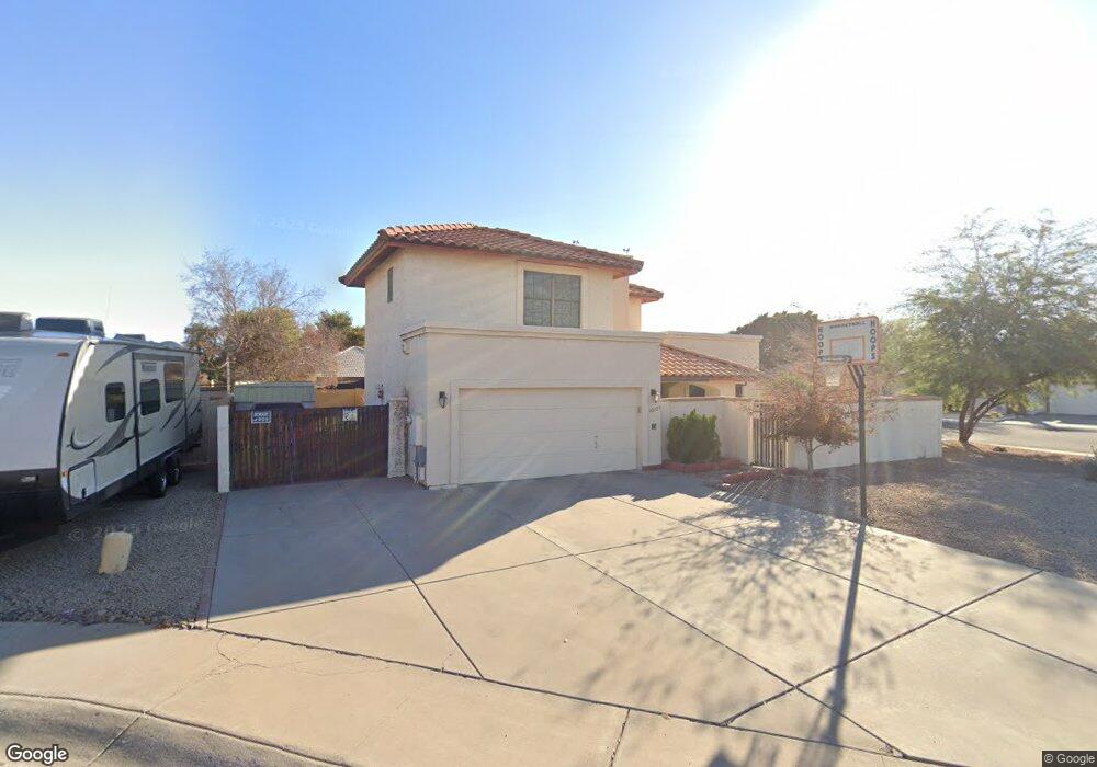
10205 N 53rd Ln Glendale, AZ 85302
Estimated Value: $398,935 - $507,000
3
Beds
3
Baths
2,209
Sq Ft
$210/Sq Ft
Est. Value
About This Home
This home is located at 10205 N 53rd Ln, Glendale, AZ 85302 and is currently estimated at $464,234, approximately $210 per square foot. 10205 N 53rd Ln is a home located in Maricopa County with nearby schools including Heritage School, Ironwood High School, and Heritage Academy - Pointe.
Ownership History
Date
Name
Owned For
Owner Type
Purchase Details
Closed on
May 2, 2003
Sold by
Morales Maria S
Bought by
Morales Jose G
Current Estimated Value
Home Financials for this Owner
Home Financials are based on the most recent Mortgage that was taken out on this home.
Original Mortgage
$138,000
Outstanding Balance
$59,628
Interest Rate
5.71%
Mortgage Type
Purchase Money Mortgage
Estimated Equity
$404,606
Purchase Details
Closed on
Mar 27, 2003
Sold by
Scott Howard B and Scott Jeanne R
Bought by
Morales Jose G
Home Financials for this Owner
Home Financials are based on the most recent Mortgage that was taken out on this home.
Original Mortgage
$138,000
Outstanding Balance
$59,628
Interest Rate
5.71%
Mortgage Type
Purchase Money Mortgage
Estimated Equity
$404,606
Create a Home Valuation Report for This Property
The Home Valuation Report is an in-depth analysis detailing your home's value as well as a comparison with similar homes in the area
Home Values in the Area
Average Home Value in this Area
Purchase History
| Date | Buyer | Sale Price | Title Company |
|---|---|---|---|
| Morales Jose G | -- | First American Title Ins Co | |
| Morales Jose G | $172,500 | First American Title Ins Co |
Source: Public Records
Mortgage History
| Date | Status | Borrower | Loan Amount |
|---|---|---|---|
| Open | Morales Jose G | $138,000 | |
| Closed | Morales Jose G | $138,000 |
Source: Public Records
Tax History Compared to Growth
Tax History
| Year | Tax Paid | Tax Assessment Tax Assessment Total Assessment is a certain percentage of the fair market value that is determined by local assessors to be the total taxable value of land and additions on the property. | Land | Improvement |
|---|---|---|---|---|
| 2025 | $1,593 | $20,902 | -- | -- |
| 2024 | $1,626 | $19,907 | -- | -- |
| 2023 | $1,626 | $35,610 | $7,120 | $28,490 |
| 2022 | $1,611 | $27,910 | $5,580 | $22,330 |
| 2021 | $1,729 | $25,470 | $5,090 | $20,380 |
| 2020 | $1,755 | $24,720 | $4,940 | $19,780 |
| 2019 | $1,706 | $22,520 | $4,500 | $18,020 |
| 2018 | $1,666 | $20,350 | $4,070 | $16,280 |
| 2017 | $1,677 | $17,960 | $3,590 | $14,370 |
| 2016 | $1,667 | $18,030 | $3,600 | $14,430 |
| 2015 | $1,563 | $13,430 | $2,680 | $10,750 |
Source: Public Records
Map
Nearby Homes
- 5323 W North Ln
- 5407 W North Ln
- 5210 W Ironwood Dr
- 10608 N 53rd Cir
- 5249 W Mountain View Rd
- 10227 N 56th Dr
- 5236 W Peoria Ave Unit 202
- 9710 N 55th Ave
- 9714 N 55th Dr
- 5674 W North Ln
- 5209 W Palo Verde Ave
- 5131 W Christy Dr
- 9623 N 51st Dr
- 10803 N 55th Ave
- Faustus Plan at Marlowe
- Malta Plan at Marlowe
- Tamburlaine Plan at Marlowe
- Christopher Plan at Marlowe
- 4932 W Cheryl Dr
- 4930 W Beryl Ave
- 10203 N 53rd Ln
- 10209 N 53rd Ln
- 10211 N 53rd Ln
- 5322 W Brown St
- 5327 W Brown St
- 10215 N 53rd Ln
- 5333 W Brown St
- 5314 W Brown St
- 5316 W Brown St
- 5321 W Brown St
- 10206 N 53rd Ln
- 10214 N 53rd Ln
- 10212 N 53rd Ln
- 5319 W Cheryl Dr
- 5339 W Brown St
- 5325 W Cheryl Dr
- 5315 W Brown St
- 5313 W Cheryl Dr
- 5308 W Brown St
- 5345 W Brown St