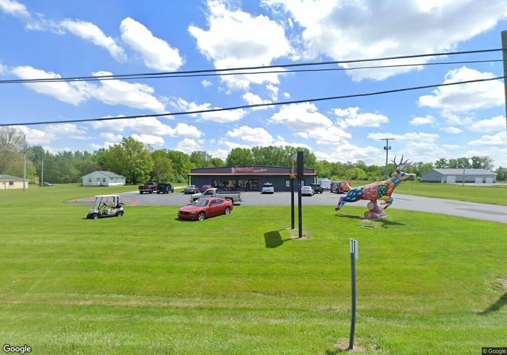
10205 U S 224 Findlay, OH 45840
Estimated Value: $556,425
--
Bed
--
Bath
9,440
Sq Ft
$59/Sq Ft
Est. Value
About This Home
This home is located at 10205 U S 224, Findlay, OH 45840 and is currently estimated at $556,425, approximately $58 per square foot. 10205 U S 224 is a home located in Hancock County with nearby schools including Liberty-Benton Elementary School, Liberty-Benton Middle School, and Liberty-Benton High School.
Ownership History
Date
Name
Owned For
Owner Type
Purchase Details
Closed on
Jun 27, 2019
Bought by
Casey Derrow Properties Llc
Current Estimated Value
Purchase Details
Closed on
Feb 2, 1994
Bought by
Masterson Ida Wilma and Masterson John E
Purchase Details
Closed on
Feb 7, 1989
Bought by
Masterson Ida Wilma & Ohio Citizens Bank
Create a Home Valuation Report for This Property
The Home Valuation Report is an in-depth analysis detailing your home's value as well as a comparison with similar homes in the area
Home Values in the Area
Average Home Value in this Area
Purchase History
| Date | Buyer | Sale Price | Title Company |
|---|---|---|---|
| Casey Derrow Properties Llc | -- | -- | |
| Masterson Ida Wilma | -- | -- | |
| Masterson Ida Wilma & Ohio Citizens Bank | -- | -- |
Source: Public Records
Tax History Compared to Growth
Tax History
| Year | Tax Paid | Tax Assessment Tax Assessment Total Assessment is a certain percentage of the fair market value that is determined by local assessors to be the total taxable value of land and additions on the property. | Land | Improvement |
|---|---|---|---|---|
| 2024 | $4,177 | $97,880 | $46,620 | $51,260 |
| 2023 | $4,073 | $97,880 | $46,620 | $51,260 |
| 2022 | $4,031 | $97,880 | $46,620 | $51,260 |
| 2021 | $3,347 | $70,570 | $15,540 | $55,030 |
| 2020 | $3,374 | $70,570 | $15,540 | $55,030 |
| 2019 | $4,964 | $70,570 | $15,540 | $55,030 |
| 2018 | $4,702 | $70,570 | $15,540 | $55,030 |
| 2017 | $2,394 | $70,570 | $15,540 | $55,030 |
| 2016 | $4,739 | $70,570 | $15,540 | $55,030 |
| 2015 | $5,634 | $89,660 | $34,440 | $55,220 |
| 2014 | $6,469 | $89,660 | $34,440 | $55,220 |
| 2012 | $6,858 | $95,620 | $40,400 | $55,220 |
Source: Public Records
Map
Nearby Homes
- 9960 W Us Route 224
- 0 County Road 223
- 0 County Road 140
- 8179 Hazelwood Dr
- 8256 Silverwood Dr
- 6535 Silver Lake Dr
- 925 W Melrose Ave
- 0 County Road 95 Unit 6097574
- 905 W Melrose Ave
- 1005 Broad Ave
- 933 Laurel Ln
- 643 Edith Ave
- 604 Davis St
- 636 W Melrose Ave
- 1405 Cypress Lake
- 533 Davis St
- 2201 W Main Cross St
- 3106 Saddlebrook
- 3018 Gleneagle Dr
- 425 Nevada Ln
- 10205 W Us Route 224
- 10157 U S 224
- 10157 Us Route
- 0 Rettig Rd
- LOT 9 Rettig Rd
- LOT 8 Rettig Rd
- LOT 6 Rettig Rd
- LOT 5 Rettig Rd
- LOT 7 Rettig Rd
- 7475 Rettig Rd
- 7475 Rettig Rd Unit 3
- 10005 Us Route
- 7369 County Road 140
- 7474 County Road 140
- 9965 W Us Route 224
- 7360 County Road 140
- 7334 County Road 140
- 9885 W Us Route 224
- 9934 U S 224
- 9934 W Us Route 224