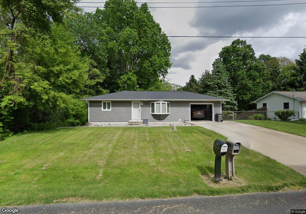
1021 Belton Ave Battle Creek, MI 49014
Estimated Value: $149,579 - $219,000
2
Beds
1
Bath
816
Sq Ft
$207/Sq Ft
Est. Value
About This Home
This home is located at 1021 Belton Ave, Battle Creek, MI 49014 and is currently estimated at $169,145, approximately $207 per square foot. 1021 Belton Ave is a home located in Calhoun County with nearby schools including Harper Creek Middle School, Harper Creek High School, and St. Philip Catholic Central High School.
Ownership History
Date
Name
Owned For
Owner Type
Purchase Details
Closed on
Aug 29, 2017
Sold by
Carey Robert D
Bought by
Wright Matthew J
Current Estimated Value
Home Financials for this Owner
Home Financials are based on the most recent Mortgage that was taken out on this home.
Original Mortgage
$85,000
Outstanding Balance
$45,872
Interest Rate
3.92%
Mortgage Type
New Conventional
Estimated Equity
$123,273
Purchase Details
Closed on
Feb 14, 2008
Sold by
Wells Fargo Bank Na
Bought by
Carey Robert D
Home Financials for this Owner
Home Financials are based on the most recent Mortgage that was taken out on this home.
Original Mortgage
$53,625
Interest Rate
5.75%
Mortgage Type
Purchase Money Mortgage
Purchase Details
Closed on
Jun 22, 2007
Sold by
Lemmons Terry L and Lemmons Mary L
Bought by
Wells Fargo Bank Na and Structured Asset Securities Corp Mortgag
Create a Home Valuation Report for This Property
The Home Valuation Report is an in-depth analysis detailing your home's value as well as a comparison with similar homes in the area
Home Values in the Area
Average Home Value in this Area
Purchase History
| Date | Buyer | Sale Price | Title Company |
|---|---|---|---|
| Wright Matthew J | $91,000 | None Available | |
| Carey Robert D | $71,500 | Attorneys Title Agency Llc | |
| Wells Fargo Bank Na | $86,700 | None Available |
Source: Public Records
Mortgage History
| Date | Status | Borrower | Loan Amount |
|---|---|---|---|
| Open | Wright Matthew J | $85,000 | |
| Previous Owner | Carey Robert D | $53,625 |
Source: Public Records
Tax History Compared to Growth
Tax History
| Year | Tax Paid | Tax Assessment Tax Assessment Total Assessment is a certain percentage of the fair market value that is determined by local assessors to be the total taxable value of land and additions on the property. | Land | Improvement |
|---|---|---|---|---|
| 2025 | $1,750 | $61,430 | $0 | $0 |
| 2024 | $1,006 | $56,490 | $0 | $0 |
| 2023 | $1,545 | $52,290 | $0 | $0 |
| 2022 | $912 | $47,060 | $0 | $0 |
| 2021 | $1,476 | $42,400 | $0 | $0 |
| 2020 | $1,504 | $38,900 | $0 | $0 |
| 2019 | $1,713 | $36,950 | $0 | $0 |
| 2018 | $1,179 | $35,350 | $5,750 | $29,600 |
| 2017 | $1,179 | $33,000 | $0 | $0 |
| 2016 | $1,179 | $32,300 | $0 | $0 |
| 2015 | $881 | $31,200 | $4,585 | $26,615 |
| 2014 | $881 | $36,050 | $4,585 | $31,465 |
Source: Public Records
Map
Nearby Homes
- 156 Woodway Ave
- 0 Cherokee St
- 415 Oakvale Ct
- 326 Goldenview Dr
- 246 Brentwood Dr
- 519 S Shore Dr
- 503 S Shore Dr
- 47 Alden Ave W
- 225 Illinois St
- 202 Overton St
- 136 Jericho Rd
- 206 N Chapel Hill Dr
- 418 Main St
- 76 Taft St
- 245 Columbia Ave E
- 100 Illinois St
- 52 E Acacia Blvd
- 180 Grenville St
- 122 Marsha
- 50 Douglas St