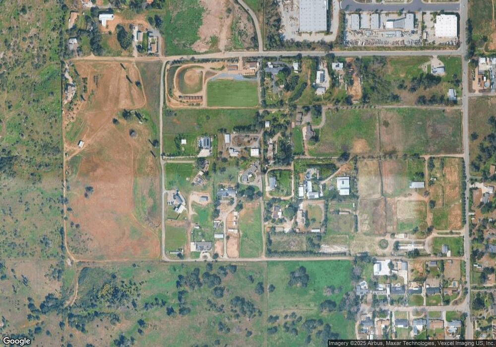
1021 Country Club Dr Escondido, CA 92029
Estimated Value: $1,290,000 - $1,651,000
4
Beds
5
Baths
3,559
Sq Ft
$411/Sq Ft
Est. Value
About This Home
This home is located at 1021 Country Club Dr, Escondido, CA 92029 and is currently estimated at $1,461,668, approximately $410 per square foot. 1021 Country Club Dr is a home located in San Diego County with nearby schools including Rock Springs Elementary School, Del Dios Academy of Arts & Sciences, and San Pasqual High School.
Ownership History
Date
Name
Owned For
Owner Type
Purchase Details
Closed on
Jun 12, 2014
Sold by
Mcsparron Andrew J and Mcsparron Diane M
Bought by
Mcsparron Andrew and Mcsparron Diane
Current Estimated Value
Home Financials for this Owner
Home Financials are based on the most recent Mortgage that was taken out on this home.
Original Mortgage
$400,000
Interest Rate
4.16%
Mortgage Type
New Conventional
Purchase Details
Closed on
Sep 9, 2011
Sold by
Mcsparron Andrew J and Mcsparron Diane M
Bought by
Mcsparron Andrew J and Mcsparron Diane M
Home Financials for this Owner
Home Financials are based on the most recent Mortgage that was taken out on this home.
Original Mortgage
$212,000
Interest Rate
4.37%
Mortgage Type
New Conventional
Create a Home Valuation Report for This Property
The Home Valuation Report is an in-depth analysis detailing your home's value as well as a comparison with similar homes in the area
Home Values in the Area
Average Home Value in this Area
Purchase History
| Date | Buyer | Sale Price | Title Company |
|---|---|---|---|
| Mcsparron Andrew | -- | Ticor Title Company | |
| Mcsparron Andrew J | -- | Lawyers Title Sd |
Source: Public Records
Mortgage History
| Date | Status | Borrower | Loan Amount |
|---|---|---|---|
| Closed | Mcsparron Andrew | $400,000 | |
| Closed | Mcsparron Andrew J | $212,000 |
Source: Public Records
Tax History Compared to Growth
Tax History
| Year | Tax Paid | Tax Assessment Tax Assessment Total Assessment is a certain percentage of the fair market value that is determined by local assessors to be the total taxable value of land and additions on the property. | Land | Improvement |
|---|---|---|---|---|
| 2025 | $3,574 | $325,623 | $35,551 | $290,072 |
| 2024 | $3,574 | $319,239 | $34,854 | $284,385 |
| 2023 | $3,488 | $312,980 | $34,171 | $278,809 |
| 2022 | $3,444 | $306,844 | $33,501 | $273,343 |
| 2021 | $3,384 | $300,829 | $32,845 | $267,984 |
| 2020 | $3,357 | $297,746 | $32,509 | $265,237 |
| 2019 | $3,273 | $291,909 | $31,872 | $260,037 |
| 2018 | $3,177 | $286,187 | $31,248 | $254,939 |
| 2017 | $740 | $262,577 | $30,636 | $231,941 |
| 2016 | $1,413 | $128,018 | $30,036 | $97,982 |
| 2015 | $1,399 | $126,096 | $29,585 | $96,511 |
| 2014 | $1,335 | $123,627 | $29,006 | $94,621 |
Source: Public Records
Map
Nearby Homes
- 0000 Country Club Dr Unit 2
- 2432 Live Oak Rd
- 672 Chateau Place
- 1213 Sunrise View Unit 102
- 1229 Sunrise View Unit 104
- 1209 Sunrise View Unit 103
- 962 Chardonney Way
- 1175 La Moree Rd Unit 52
- 1175 La Moree Rd
- 1175 La Moree Rd Unit 7
- 1195 La Moree Rd Unit 11
- 1195 La Moree Rd Unit 98
- 1195 La Moree Rd Unit 46
- 1195 La Moree Rd Unit 75
- 1195 La Moree Rd Unit 36
- 576 Camino de la Cima
- 0 Kauana Loa Dr Unit 15 250034201
- 0 Kauana Loa Dr Unit 17 250034204
- 0 Kauana Loa Dr Unit 16 250034203
- 0 Kauana Loa Dr Unit 18 250034208
- 833 Country Club Dr
- 1023 Country Club Dr
- 2940 Milpas Dr
- 841 Country Club Dr
- 3007 Hill Valley Dr
- 2952 Milpas Dr
- Country Club Dr Unit 170044167
- Country Club Dr
- 0 Hill Valley Unit 86002863
- 0 Hill Valley Unit 81005400
- 0 Hill Valley Unit 190023079
- 2875 Milpas Dr
- 0 HILL VAL 0 Hill Valley Rd
- 2964 Milpas Dr
- 1027 Country Club Dr
- 1031 Country Club Dr
- 2869 Hill Valley Dr
- 2919 Hill Valley Dr
- 2843 Hill Valley Dr
- 835 Country Club Dr
