1021 Crown Pointe Cir Suamico, WI 54173
Estimated Value: $239,000 - $999,286
--
Bed
--
Bath
--
Sq Ft
0.38
Acres
About This Home
This home is located at 1021 Crown Pointe Cir, Suamico, WI 54173 and is currently estimated at $742,322. 1021 Crown Pointe Cir is a home with nearby schools including Bay Harbor Elementary School, Lineville Intermediate School, and Bay View Middle School.
Ownership History
Date
Name
Owned For
Owner Type
Purchase Details
Closed on
Jun 25, 2021
Sold by
Black Diamond Future Llc
Bought by
Antonissen Shari A and Antonissen Paul A
Current Estimated Value
Purchase Details
Closed on
Apr 23, 2020
Sold by
Wachal Mark A
Bought by
Black Diamond Future Llc
Purchase Details
Closed on
May 1, 2019
Sold by
Ccsn Llc
Bought by
Wachal Mark A
Create a Home Valuation Report for This Property
The Home Valuation Report is an in-depth analysis detailing your home's value as well as a comparison with similar homes in the area
Home Values in the Area
Average Home Value in this Area
Purchase History
| Date | Buyer | Sale Price | Title Company |
|---|---|---|---|
| Antonissen Shari A | $125,000 | Liberty Title | |
| Black Diamond Future Llc | $125,000 | Town N County Title Llc | |
| Wachal Mark A | $120,000 | Bay Title & Abstract Inc |
Source: Public Records
Tax History Compared to Growth
Tax History
| Year | Tax Paid | Tax Assessment Tax Assessment Total Assessment is a certain percentage of the fair market value that is determined by local assessors to be the total taxable value of land and additions on the property. | Land | Improvement |
|---|---|---|---|---|
| 2024 | $12,592 | $697,300 | $125,500 | $571,800 |
| 2023 | $13,393 | $697,300 | $125,500 | $571,800 |
| 2022 | $12,480 | $697,300 | $125,500 | $571,800 |
| 2021 | $2,051 | $125,500 | $125,500 | $0 |
| 2020 | $2,047 | $125,500 | $125,500 | $0 |
| 2019 | $808 | $40,400 | $40,400 | $0 |
Source: Public Records
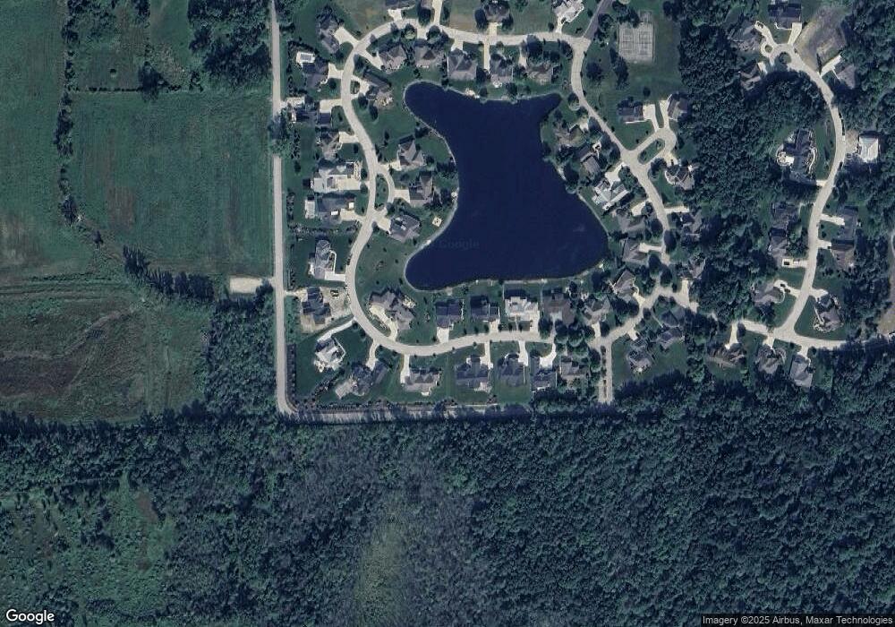
Map
Nearby Homes
- 2753 Summerset Cir
- 2192 E Deerfield Ave
- 1429 Harbor Lights Rd
- 0 E Deerfield Ave
- 0 Maple Grove Unit 50315677
- 0 Maple Grove Unit 50315674
- 0 Maple Grove Unit 50315676
- 0 Harbor Cove Ln
- 951 Lake Park St
- 2592 Farmington Way Unit 17
- 2592 Farmington Way
- 0 Sunset Beach Rd
- 2664 Chambers Crossing
- 2652 Chambers Crossing
- 2121 Durum Ct
- 2658 Chambers Crossing
- 2623 Chambers Crossing
- 12056 Velp Ave
- 1915 Riverside Dr Unit F
- 2055 S Tanager Ln
- 1015 Crown Pointe Cir
- 1035 Crown Pointe Cir
- 1007 Crown Pointe Cir
- 1024 Crown Pointe Cir
- 1018 Crown Pointe Cir
- 1028 Crown Pointe Cir
- 1047 Crown Pointe Cir
- 1012 Crown Pointe Cir
- 1053 1053 Crown Pointe Cr
- 1053 Crown Pointe Cir
- 1012 Crown Pointe Cir
- 1032 Crown Pointe Cir
- 1001 Crown Pointe Cir
- 1006 Crown Pointe Cir
- 1059 Crown Pointe Cir
- 1036 Crown Pointe Cir
- 1040 Crown Pointe Cir
- 1000 Crown Pointe Cir
- 1044 Crown Pointe Cir
- 1000 S Crown Pointe Cr