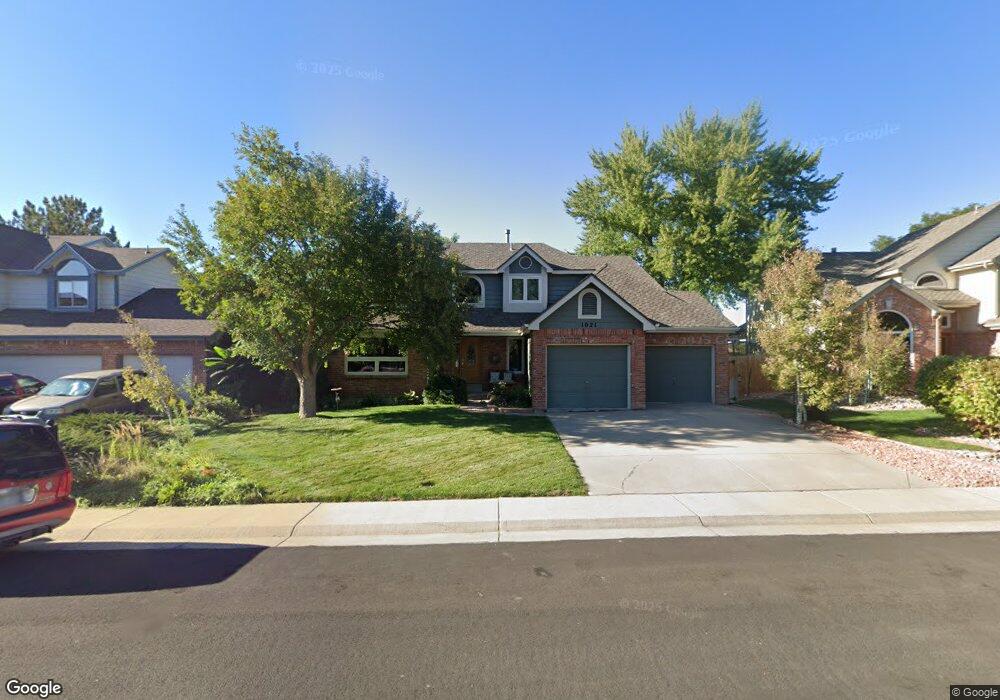
1021 E 133rd Way Thornton, CO 80241
Hunters Glen NeighborhoodEstimated Value: $603,145 - $694,000
4
Beds
3
Baths
2,269
Sq Ft
$282/Sq Ft
Est. Value
About This Home
This home is located at 1021 E 133rd Way, Thornton, CO 80241 and is currently estimated at $639,036, approximately $281 per square foot. 1021 E 133rd Way is a home located in Adams County with nearby schools including Hunters Glen Elementary School, Century Middle School, and Mountain Range High School.
Ownership History
Date
Name
Owned For
Owner Type
Purchase Details
Closed on
Jan 5, 2005
Sold by
Bauer Ronald J and Bauer Michaela M
Bought by
Iantorno Louis R and Iantorno Danlyn L
Current Estimated Value
Home Financials for this Owner
Home Financials are based on the most recent Mortgage that was taken out on this home.
Original Mortgage
$256,400
Outstanding Balance
$129,367
Interest Rate
5.74%
Mortgage Type
Unknown
Estimated Equity
$509,669
Purchase Details
Closed on
Jun 1, 1995
Sold by
Johnson Michael J
Bought by
Bauer Ronald J and Bauer Michaela M
Home Financials for this Owner
Home Financials are based on the most recent Mortgage that was taken out on this home.
Original Mortgage
$146,250
Interest Rate
7.54%
Purchase Details
Closed on
Aug 15, 1994
Sold by
Burgess William E and Burgess Renee S
Bought by
Johnson Michael J
Home Financials for this Owner
Home Financials are based on the most recent Mortgage that was taken out on this home.
Original Mortgage
$180,000
Interest Rate
5.25%
Create a Home Valuation Report for This Property
The Home Valuation Report is an in-depth analysis detailing your home's value as well as a comparison with similar homes in the area
Home Values in the Area
Average Home Value in this Area
Purchase History
| Date | Buyer | Sale Price | Title Company |
|---|---|---|---|
| Iantorno Louis R | $320,500 | Land Title Guarantee Company | |
| Bauer Ronald J | $193,500 | -- | |
| Johnson Michael J | $205,500 | Land Title |
Source: Public Records
Mortgage History
| Date | Status | Borrower | Loan Amount |
|---|---|---|---|
| Open | Iantorno Louis R | $256,400 | |
| Previous Owner | Bauer Ronald J | $146,250 | |
| Previous Owner | Johnson Michael J | $180,000 | |
| Closed | Iantorno Louis R | $64,100 |
Source: Public Records
Tax History Compared to Growth
Tax History
| Year | Tax Paid | Tax Assessment Tax Assessment Total Assessment is a certain percentage of the fair market value that is determined by local assessors to be the total taxable value of land and additions on the property. | Land | Improvement |
|---|---|---|---|---|
| 2024 | $3,318 | $35,750 | $7,310 | $28,440 |
| 2023 | $3,285 | $42,550 | $7,370 | $35,180 |
| 2022 | $2,531 | $29,930 | $7,580 | $22,350 |
| 2021 | $3,407 | $29,930 | $7,580 | $22,350 |
| 2020 | $3,290 | $29,490 | $7,790 | $21,700 |
| 2019 | $3,297 | $29,490 | $7,790 | $21,700 |
| 2018 | $3,454 | $30,020 | $7,490 | $22,530 |
| 2017 | $3,141 | $30,020 | $7,490 | $22,530 |
| 2016 | $2,693 | $25,060 | $4,860 | $20,200 |
| 2015 | $2,689 | $25,060 | $4,860 | $20,200 |
| 2014 | -- | $23,030 | $4,220 | $18,810 |
Source: Public Records
Map
Nearby Homes
- 978 E 132nd Dr
- 1089 E 131st Dr
- 1282 E 135th Place
- 13242 Pearl Cir
- 13748 Downing St
- 12931 Lafayette St Unit G
- 12905 Lafayette St Unit H
- 12992 Grant Cir E Unit A
- 12982 Grant Cir E Unit B
- 12962 Grant Cir E Unit A
- 12962 Grant Cir E Unit C
- 13151 Grant Cir N Unit B
- 0 128th & Washington St
- 12913 Grant Cir E Unit A
- 12901 Grant Cir W Unit C
- 2275 E 129th Ave
- 2788 E 132nd Cir
- 609 W 130th Ave
- 2420 E 127th Ave
- 2375 Lake Ave
- 1041 E 133rd Way
- 1001 E 133rd Way
- 1061 E 133rd Way
- 1032 E 133rd Way
- 1022 E 133rd Way
- 991 E 133rd Dr
- 1042 E 133rd Way
- 1012 E 133rd Way
- 1081 E 133rd Way
- 1002 E 133rd Way
- 1082 E 133rd Way
- 1062 E 133rd Way
- 981 E 133rd Dr
- 990 E 133rd Dr
- 1075 E 132nd Place
- 1095 E 132nd Place
- 1055 E 132nd Place
- 1035 E 132nd Place
- 13389 Downing St
- 13399 Downing St