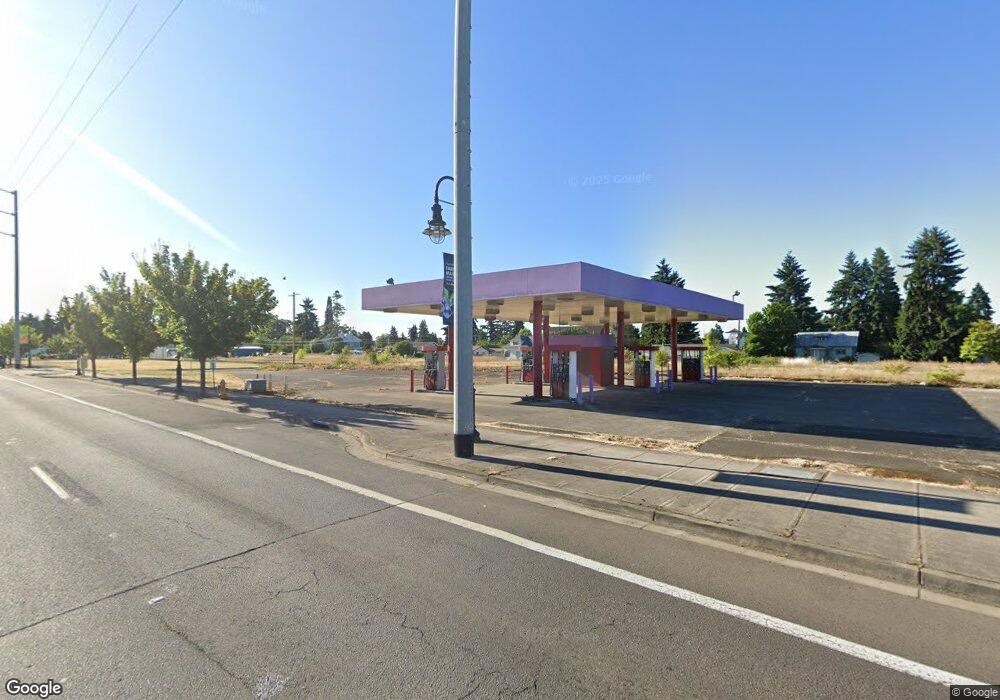
1021 E Baseline St Cornelius, OR 97113
--
Bed
--
Bath
300
Sq Ft
0.33
Acres
About This Home
This home is located at 1021 E Baseline St, Cornelius, OR 97113. 1021 E Baseline St is a home located in Washington County with nearby schools including Echo Shaw Elementary School, Neil Armstrong Middle School, and Tom McCall Upper Elementary School.
Ownership History
Date
Name
Owned For
Owner Type
Purchase Details
Closed on
Jan 16, 2025
Sold by
El Masry Islam R
Bought by
City Of Cornelius
Purchase Details
Closed on
Oct 2, 2015
Sold by
M & G Collections Llc
Bought by
El Masry Islam R
Home Financials for this Owner
Home Financials are based on the most recent Mortgage that was taken out on this home.
Original Mortgage
$70,000
Interest Rate
3.89%
Mortgage Type
Seller Take Back
Purchase Details
Closed on
Aug 26, 2008
Sold by
Senko Susan K
Bought by
Travis Russell R and Estby Dwight B
Create a Home Valuation Report for This Property
The Home Valuation Report is an in-depth analysis detailing your home's value as well as a comparison with similar homes in the area
Home Values in the Area
Average Home Value in this Area
Purchase History
| Date | Buyer | Sale Price | Title Company |
|---|---|---|---|
| City Of Cornelius | $329,000 | Wfg Title | |
| City Of Cornelius | $329,000 | Wfg Title | |
| El Masry Islam R | $190,000 | First American | |
| Travis Russell R | $128,000 | None Available |
Source: Public Records
Mortgage History
| Date | Status | Borrower | Loan Amount |
|---|---|---|---|
| Previous Owner | El Masry Islam R | $70,000 |
Source: Public Records
Tax History Compared to Growth
Tax History
| Year | Tax Paid | Tax Assessment Tax Assessment Total Assessment is a certain percentage of the fair market value that is determined by local assessors to be the total taxable value of land and additions on the property. | Land | Improvement |
|---|---|---|---|---|
| 2026 | $1,488 | $71,410 | -- | $71,410 |
| 2025 | $3,214 | $179,600 | -- | $74,650 |
| 2024 | $2,935 | $174,370 | -- | $81,140 |
| 2023 | $1,560 | $90,840 | $0 | $0 |
| 2022 | $1,567 | $90,840 | $0 | $0 |
| 2021 | $2,570 | $159,590 | $0 | $0 |
| 2020 | $1,945 | $154,950 | $0 | $0 |
| 2019 | $2,113 | $129,640 | $0 | $0 |
| 2018 | $2,267 | $139,360 | $0 | $0 |
| 2017 | $2,385 | $152,300 | $0 | $0 |
| 2016 | $2,305 | $165,380 | $0 | $0 |
Source: Public Records
Map
Nearby Homes
- 122 S 12th Ave
- 570 N 10th St Unit 29
- 570 N 10th Ave Unit 75
- 570 N 10th Ave Unit 2
- 570 N 10th Ave Unit 6
- 570 N 10th Ave Unit 80
- 570 N 10th Ave Unit 10
- 570 N 10th Ave Unit 110
- 570 N 10th Ave Unit 30
- 1134 S Ginger St
- 1686 N Barlow St
- 1701 S Alpine St
- 1100 S Ivy St
- 1126 S Jasper St
- 332 S Tarrybrook Dr
- 302 S 19th Ave
- 253 S Tarrybrook Cir
- 507 N 19th Ave Unit 99
- 507 N 19th Ave Unit 15
- 507 N 19th Ave Unit 18
- 1012 E Baseline St
- 1006 E Baseline St
- 11 S 11th Ave
- 1007 S Alpine St
- 1045 S Alpine St
- 926 Baseline St
- 123 S 11th Ave
- 991 S Alpine St
- 81 N 11th Ave
- 957 S Alpine St
- 139 S 11th Ave
- 933 S Alpine St
- 1107 S Alpine St
- 0 N Adair St
- 1062 N Adair St
- 886 S Alpine St
- 177 S 10th Ave
- 185 S 10th Ave
- 1024 S Beech St
- 1145 S Alpine St