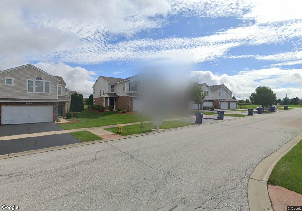
1021 Fieldside Dr Unit 1252 Matteson, IL 60443
West Matteson NeighborhoodEstimated Value: $242,387 - $304,000
--
Bed
--
Bath
157,824
Sq Ft
$2/Sq Ft
Est. Value
About This Home
This home is located at 1021 Fieldside Dr Unit 1252, Matteson, IL 60443 and is currently estimated at $287,847, approximately $1 per square foot. 1021 Fieldside Dr Unit 1252 is a home located in Cook County with nearby schools including Colin Powell Middle School.
Ownership History
Date
Name
Owned For
Owner Type
Purchase Details
Closed on
Feb 9, 2007
Sold by
Ashmon Trina
Bought by
Murphy Trina
Current Estimated Value
Home Financials for this Owner
Home Financials are based on the most recent Mortgage that was taken out on this home.
Original Mortgage
$198,550
Outstanding Balance
$136,309
Interest Rate
8.97%
Mortgage Type
Balloon
Estimated Equity
$151,538
Create a Home Valuation Report for This Property
The Home Valuation Report is an in-depth analysis detailing your home's value as well as a comparison with similar homes in the area
Home Values in the Area
Average Home Value in this Area
Purchase History
| Date | Buyer | Sale Price | Title Company |
|---|---|---|---|
| Murphy Trina | -- | Chicago Title Insurance Co |
Source: Public Records
Mortgage History
| Date | Status | Borrower | Loan Amount |
|---|---|---|---|
| Open | Murphy Trina | $198,550 |
Source: Public Records
Tax History Compared to Growth
Tax History
| Year | Tax Paid | Tax Assessment Tax Assessment Total Assessment is a certain percentage of the fair market value that is determined by local assessors to be the total taxable value of land and additions on the property. | Land | Improvement |
|---|---|---|---|---|
| 2024 | $7,247 | $20,797 | $789 | $20,008 |
| 2023 | $4,019 | $20,797 | $789 | $20,008 |
| 2022 | $4,019 | $10,929 | $610 | $10,319 |
| 2021 | $4,106 | $10,927 | $609 | $10,318 |
| 2020 | $4,086 | $10,927 | $609 | $10,318 |
| 2019 | $3,182 | $9,254 | $574 | $8,680 |
| 2018 | $5,128 | $12,959 | $574 | $12,385 |
| 2017 | $5,018 | $12,959 | $574 | $12,385 |
| 2016 | $5,424 | $12,978 | $538 | $12,440 |
| 2015 | $5,262 | $12,978 | $538 | $12,440 |
| 2014 | $5,146 | $12,978 | $538 | $12,440 |
| 2013 | $5,998 | $15,668 | $538 | $15,130 |
Source: Public Records
Map
Nearby Homes
- 6216 Pond View Dr
- 1008 Willow Rd
- 21143 Gray Hawk Dr Unit 2554
- 6423 Gray Hawk Dr Unit 2716
- 1000 Warwick Dr
- 21218 Shannon Ave
- 6529 Blue Sky Ln
- 931 Destiny Dr
- 6520 Bridle Path Dr
- 0 Ridgeland Ave
- 6200 Marsh Ln
- 6409 Old Plank Blvd
- 749 Old Farm Rd
- 6608 Pasture Side Trail
- 6125 Sunflower Dr
- 6260 Sunflower Dr
- 6508 Fawn Ct
- 6103 Sunflower Dr
- 970 Regent Dr
- 997 Regent Dr
- 1019 Fieldside Dr Unit 1251
- 1023 Fieldside Dr Unit 1253
- 1025 Fieldside Dr Unit 1254
- 1029 Fieldside Dr Unit 1256
- 1017 Fieldside Dr Unit 1246
- 1015 Fieldside Dr Unit 1245
- 1014 Eagle Point Dr
- 1010 Eagle Point Dr
- 1013 Fieldside Dr Unit 1244
- 1011 Fieldside Dr Unit 1243
- 6319 Berry Path Trail Unit 1091
- 1006 Eagle Point Dr
- 1009 Fieldside Dr Unit 1242
- 6319 Great Plains Ave Unit 5
- 6321 Berry Path Trail Unit 1092
- 1007 Fieldside Dr Unit 1241
- 6323 Berry Path Trail Unit 1093
- 1002 Eagle Point Dr
- 6325 Berry Path Trail Unit 1094
- 6316 Berry Path Trail Unit 1175