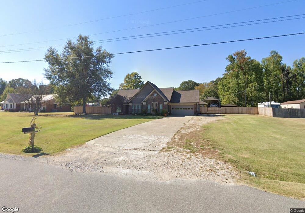
1021 Mcquiston Rd Brighton, TN 38011
Estimated Value: $318,452 - $352,000
--
Bed
2
Baths
1,980
Sq Ft
$168/Sq Ft
Est. Value
About This Home
This home is located at 1021 Mcquiston Rd, Brighton, TN 38011 and is currently estimated at $333,613, approximately $168 per square foot. 1021 Mcquiston Rd is a home located in Tipton County with nearby schools including Austin Peay Elementary School, Brighton Middle School, and Brighton High School.
Ownership History
Date
Name
Owned For
Owner Type
Purchase Details
Closed on
Sep 15, 1997
Sold by
Small Jeffrey B
Bought by
Breckenridge Ronnie C
Current Estimated Value
Purchase Details
Closed on
Jul 24, 1995
Bought by
Small Jeffrey B
Purchase Details
Closed on
Jan 18, 1994
Bought by
Small Jeffrey B
Purchase Details
Closed on
Dec 7, 1989
Bought by
Ballew John Loyd and Martha Denney
Purchase Details
Closed on
Jul 27, 1989
Bought by
Cullum R Construction Co
Purchase Details
Closed on
Dec 11, 1986
Bought by
Sterling Sterling J and Sterling Willie
Create a Home Valuation Report for This Property
The Home Valuation Report is an in-depth analysis detailing your home's value as well as a comparison with similar homes in the area
Home Values in the Area
Average Home Value in this Area
Purchase History
| Date | Buyer | Sale Price | Title Company |
|---|---|---|---|
| Breckenridge Ronnie C | $126,600 | -- | |
| Small Jeffrey B | -- | -- | |
| Small Jeffrey B | $110,900 | -- | |
| Ballew John Loyd | $92,000 | -- | |
| Cullum R Construction Co | -- | -- | |
| Sterling Sterling J | -- | -- |
Source: Public Records
Tax History Compared to Growth
Tax History
| Year | Tax Paid | Tax Assessment Tax Assessment Total Assessment is a certain percentage of the fair market value that is determined by local assessors to be the total taxable value of land and additions on the property. | Land | Improvement |
|---|---|---|---|---|
| 2024 | $1,313 | $86,275 | $10,325 | $75,950 |
| 2023 | $788 | $86,275 | $10,325 | $75,950 |
| 2022 | $1,187 | $58,200 | $7,600 | $50,600 |
| 2021 | $1,187 | $58,200 | $7,600 | $50,600 |
| 2020 | $1,187 | $58,200 | $7,600 | $50,600 |
| 2019 | $1,039 | $42,925 | $5,850 | $37,075 |
| 2018 | $1,039 | $42,925 | $5,850 | $37,075 |
| 2017 | $911 | $42,925 | $5,850 | $37,075 |
| 2016 | $911 | $37,650 | $5,850 | $31,800 |
| 2015 | $910 | $37,650 | $5,850 | $31,800 |
| 2014 | $910 | $37,634 | $0 | $0 |
Source: Public Records
Map
Nearby Homes
- 7771 Hwy 14 Hwy S
- 7767 Hwy 14 Hwy S
- 828 Lyndsey Dr
- 143 Ashley Ln
- 360 Lyndsey Dr
- 80 Ashley Ln
- 62 Planters Grove Trail
- 29 Planters Grove Trail
- 914 Beaver Creek Rd
- 9958 9958 Idaville Dr
- 52 Salem Oaks Cove
- 52 Belks Cove
- 637 Kimberly Dr
- 262 Cheryl St
- 468 Dana St
- 9511 Tracy Rd
- 10143 Mount Carmel Rd
- 5387 Portersville Rd
- 01 Atoka Idaville Rd
- 03 Atoka Idaville Rd
- 1045 Mcquiston Rd
- 987 Mcquiston Rd
- 969 Mcquiston Rd
- 1079 Mcquiston Rd
- 84 Harmon Cove
- 0 Harmon Cove
- 1111 Mcquiston Rd
- 77 Harmon Cove
- 120 Harmon Cove
- 1143 Mcquiston Rd
- 130 Harmon Cove
- 121 Harmon Cove
- 100 Salmon Rd
- 1169 Mcquiston Rd
- 150 Harmon Cove
- 7877 Highway 14
- 246 Salmon Rd
- 177 Salmon Rd
- 147 Harmon Cove
- 900 Lyndsey Dr