Estimated Value: $432,495 - $1,089,000
2
Beds
1
Bath
2,234
Sq Ft
$277/Sq Ft
Est. Value
About This Home
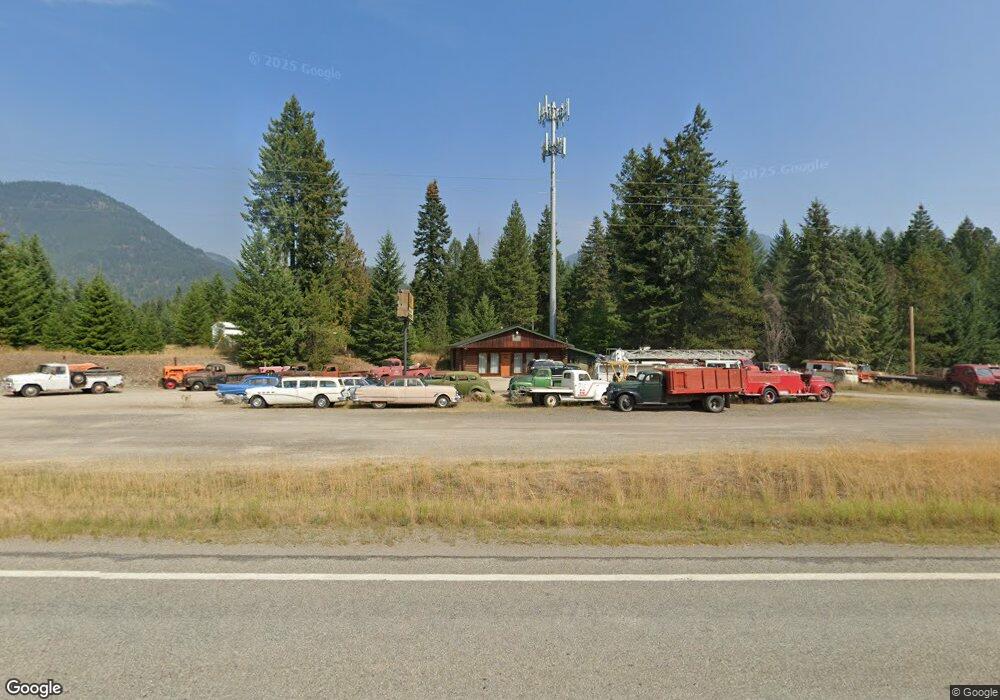
This home is located at 1021 Mt Highway 200, Noxon, MT 59853 and is currently estimated at $619,624, approximately $277 per square foot. 1021 Mt Highway 200 is a home located in Sanders County with nearby schools including Noxon Elementary School, Noxon Junior High School, and Noxon High School.
Ownership History
Date
Name
Owned For
Owner Type
Purchase Details
Closed on
Aug 31, 2021
Sold by
Hoogana Samantha N
Bought by
Overman Paul and Overman Christy
Current Estimated Value
Home Financials for this Owner
Home Financials are based on the most recent Mortgage that was taken out on this home.
Original Mortgage
$325,000
Outstanding Balance
$295,726
Interest Rate
2.8%
Mortgage Type
Seller Take Back
Estimated Equity
$323,898
Purchase Details
Closed on
Nov 3, 2014
Sold by
Page Robert B and Page Carol I
Bought by
Aitken Jeffrey G
Home Financials for this Owner
Home Financials are based on the most recent Mortgage that was taken out on this home.
Original Mortgage
$188,366
Interest Rate
4.2%
Mortgage Type
Unknown
Create a Home Valuation Report for This Property
The Home Valuation Report is an in-depth analysis detailing your home's value as well as a comparison with similar homes in the area
Home Values in the Area
Average Home Value in this Area
Purchase History
| Date | Buyer | Sale Price | Title Company |
|---|---|---|---|
| Overman Paul | -- | None Listed On Document | |
| Aitken Jeffrey G | -- | None Available |
Source: Public Records
Mortgage History
| Date | Status | Borrower | Loan Amount |
|---|---|---|---|
| Open | Overman Paul | $325,000 | |
| Previous Owner | Aitken Jeffrey G | $188,366 |
Source: Public Records
Tax History Compared to Growth
Tax History
| Year | Tax Paid | Tax Assessment Tax Assessment Total Assessment is a certain percentage of the fair market value that is determined by local assessors to be the total taxable value of land and additions on the property. | Land | Improvement |
|---|---|---|---|---|
| 2025 | $2,174 | $387,781 | $0 | $0 |
| 2024 | $3,132 | $363,043 | $0 | $0 |
| 2023 | $2,938 | $363,043 | $0 | $0 |
| 2022 | $2,582 | $295,433 | $0 | $0 |
| 2021 | $2,237 | $295,433 | $0 | $0 |
| 2020 | $2,272 | $270,733 | $0 | $0 |
| 2019 | $2,272 | $270,733 | $0 | $0 |
| 2018 | $2,207 | $267,832 | $0 | $0 |
| 2017 | $2,212 | $267,832 | $0 | $0 |
| 2016 | $2,144 | $251,081 | $0 | $0 |
| 2015 | $1,522 | $251,081 | $0 | $0 |
| 2014 | $2,043 | $231,630 | $0 | $0 |
Source: Public Records
Map
Nearby Homes
- 15 Rainbow Loop
- 2 Rainbow Ct
- 1127 Mt Highway 200
- 367 Lower River Rd
- 7 Conifer Ln
- 1234 Montana 200
- 318 Montana 56
- 230 Upper River Rd
- 15 Sandi Ln
- 9 Sandi Ln
- 710 Noxon Ave
- 2 Trails End Dr
- 608 Noxon Ave
- 33 Trails End Dr
- 0 Rd
- Nhn Pilgrim Creek Rd
- 151 Government Mountain Rd
- 98 Railroad Ave
- 773 Montana 56
- 115, 131 and 133 Klakken Rd
- 1021 Montana 200
- 1025 Mt Highway 200
- 1018 Montana 200
- 1018 Mt Highway 200
- 1016 Mt Highway 200
- 10 Cabinet Lake Dr
- 7 Blue Jay Ln
- Lot 18 Rainbow Loop
- 52 Cabinet Lake Dr
- Lot 1 Rainbow Loop
- Lot 18 Bull River Bay Estates
- 5 Rainbow Loop
- 68 Cabinet Lake Dr Noxon
- 20 Rainbow Loop
- 40 Cabinet Lake Dr
- 68 Cabinet Lake Dr
- 68 Cabinet Lake Dr
- Lot 4 Rainbow Loop
- Lot 17 Bull River Bay Estates
- 13 Blue Jay Dr