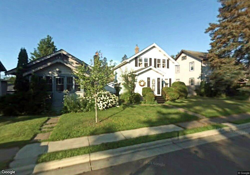
1021 N 19th Ave E Duluth, MN 55812
Chester Park NeighborhoodEstimated Value: $266,389 - $310,000
3
Beds
2
Baths
1,074
Sq Ft
$268/Sq Ft
Est. Value
About This Home
This home is located at 1021 N 19th Ave E, Duluth, MN 55812 and is currently estimated at $287,847, approximately $268 per square foot. 1021 N 19th Ave E is a home located in St. Louis County with nearby schools including Congdon Elementary School, Ordean East Middle School, and East High School.
Ownership History
Date
Name
Owned For
Owner Type
Purchase Details
Closed on
Dec 1, 2020
Sold by
Sund James B and Sund Cynthia L
Bought by
Twaddle Blair James and Twaddle Jessica A
Current Estimated Value
Home Financials for this Owner
Home Financials are based on the most recent Mortgage that was taken out on this home.
Original Mortgage
$164,300
Outstanding Balance
$145,939
Interest Rate
2.7%
Mortgage Type
New Conventional
Estimated Equity
$141,908
Purchase Details
Closed on
Mar 3, 2008
Sold by
Leblanc Guy and Leblanc Paula
Bought by
Sund James B and Sund Cynthia L
Home Financials for this Owner
Home Financials are based on the most recent Mortgage that was taken out on this home.
Original Mortgage
$165,100
Interest Rate
5.75%
Mortgage Type
Purchase Money Mortgage
Purchase Details
Closed on
Nov 15, 2002
Sold by
Johnson Corinne B
Bought by
Leblanc Guy and Leblanc Paula
Create a Home Valuation Report for This Property
The Home Valuation Report is an in-depth analysis detailing your home's value as well as a comparison with similar homes in the area
Home Values in the Area
Average Home Value in this Area
Purchase History
| Date | Buyer | Sale Price | Title Company |
|---|---|---|---|
| Twaddle Blair James | $193,400 | North Shore Title | |
| Sund James B | $163,000 | Rels | |
| Leblanc Guy | $136,000 | Scenic Title | |
| Twaddle Blair Blair | $193,400 | -- |
Source: Public Records
Mortgage History
| Date | Status | Borrower | Loan Amount |
|---|---|---|---|
| Open | Twaddle Blair James | $164,300 | |
| Previous Owner | Sund James B | $165,100 | |
| Closed | Twaddle Blair Blair | $164,300 |
Source: Public Records
Tax History Compared to Growth
Tax History
| Year | Tax Paid | Tax Assessment Tax Assessment Total Assessment is a certain percentage of the fair market value that is determined by local assessors to be the total taxable value of land and additions on the property. | Land | Improvement |
|---|---|---|---|---|
| 2024 | $3,354 | $243,700 | $20,700 | $223,000 |
| 2023 | $3,354 | $217,000 | $20,700 | $196,300 |
| 2022 | $2,894 | $205,600 | $19,600 | $186,000 |
| 2021 | $2,698 | $174,800 | $16,700 | $158,100 |
| 2020 | $2,632 | $166,200 | $15,900 | $150,300 |
| 2019 | $2,376 | $157,600 | $13,800 | $143,800 |
| 2018 | $2,150 | $143,200 | $12,600 | $130,600 |
| 2017 | $1,874 | $138,400 | $12,600 | $125,800 |
| 2016 | $1,946 | $151,400 | $26,700 | $124,700 |
| 2015 | $2,030 | $131,500 | $35,600 | $95,900 |
| 2014 | $2,030 | $131,500 | $35,600 | $95,900 |
Source: Public Records
Map
Nearby Homes
- 1915 Garden St
- 1915 E 9th St
- 1039 Brainerd Ave
- 719 N 16th Ave E
- 1417 E 10th St
- 1419 E 9th St
- 529 Woodland Ave
- 1403 E 8th St
- 1801 E 4th St
- 1317 E 9th St
- 2314 E 5th St
- 200x E 3rd St
- 1520 E 3rd St
- 526 N 12 1/2 Ave E
- xxx E 2nd St
- 2418 E 4th St
- 2101 E 1st St
- 1015 N 11th Ave E
- 510 N 12th Ave E
- 1914 E 1st St
- 1019 N 19th Ave E
- 1023 N 19th Ave E
- 1017 N 19th Ave E
- 1028 Grandview Ave
- 1030 Grandview Ave
- 1015 N 19th Ave E
- 1022 Grandview Ave
- 1901 Garden St
- 1832 W Kent Rd
- 1830 W Kent Rd
- 1032 Grandview Ave
- 1013 N 19th Ave E
- 1018 Grandview Ave
- 1903 Garden St
- 1036 Grandview Ave
- 1011 N 19th Ave E
- 1016 Grandview Ave
- 1902 W Kent Rd
- 1905 Garden St
- 1024 1024 N 19th-Avenue-