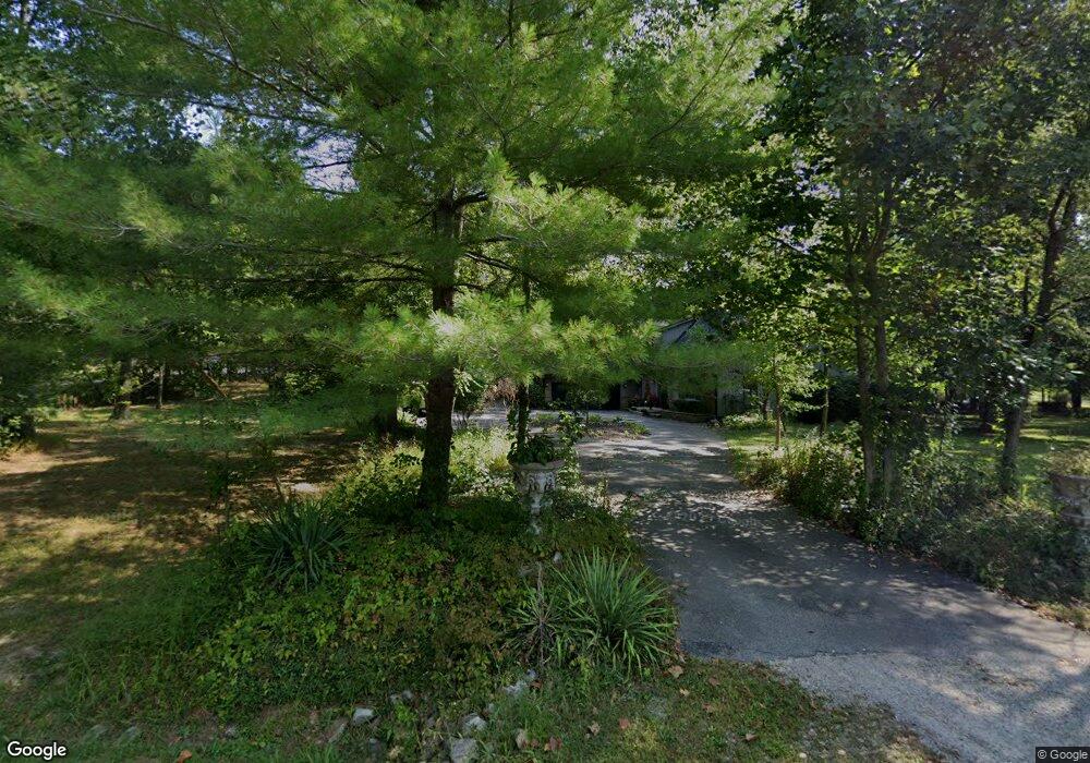
1021 N 675 W Columbus, IN 47201
Estimated Value: $397,000 - $462,000
5
Beds
3
Baths
2,388
Sq Ft
$178/Sq Ft
Est. Value
About This Home
This home is located at 1021 N 675 W, Columbus, IN 47201 and is currently estimated at $424,734, approximately $177 per square foot. 1021 N 675 W is a home located in Bartholomew County with nearby schools including Southside Elementary School, Central Middle School, and Columbus North High School.
Ownership History
Date
Name
Owned For
Owner Type
Purchase Details
Closed on
Dec 2, 2020
Sold by
Mccormick Nicholas S and Mccormick Patricia E
Bought by
P N S
Current Estimated Value
Purchase Details
Closed on
May 11, 2020
Sold by
N N S
Bought by
Mccormick Nicholas S and Mccormick Patricia E
Purchase Details
Closed on
Feb 20, 2020
Sold by
Mccormick Nicholas S and Mccormick Patricia E
Bought by
N N S
Purchase Details
Closed on
Aug 5, 2005
Sold by
Jessie Iva Pearl Dec and Edward Jessie L
Bought by
Mccormick Nicholas S and Mccormick Patricia E
Purchase Details
Closed on
Jul 30, 2001
Sold by
Thiel James A and Thiel Charity L
Bought by
Mccormick Nicholas Scot and Mccormick Patricia
Create a Home Valuation Report for This Property
The Home Valuation Report is an in-depth analysis detailing your home's value as well as a comparison with similar homes in the area
Home Values in the Area
Average Home Value in this Area
Purchase History
| Date | Buyer | Sale Price | Title Company |
|---|---|---|---|
| P N S | -- | None Available | |
| Mccormick Nicholas S | -- | None Available | |
| N N S | -- | None Available | |
| Mccormick Nicholas S | -- | Attorney | |
| Mccormick Nicholas Scot | $195,000 | -- |
Source: Public Records
Tax History Compared to Growth
Tax History
| Year | Tax Paid | Tax Assessment Tax Assessment Total Assessment is a certain percentage of the fair market value that is determined by local assessors to be the total taxable value of land and additions on the property. | Land | Improvement |
|---|---|---|---|---|
| 2024 | $2,620 | $310,700 | $38,500 | $272,200 |
| 2023 | $2,218 | $268,400 | $38,500 | $229,900 |
| 2022 | $1,843 | $218,300 | $38,500 | $179,800 |
| 2021 | $1,857 | $215,600 | $38,500 | $177,100 |
| 2020 | $1,942 | $215,600 | $38,500 | $177,100 |
| 2019 | $1,552 | $201,800 | $38,500 | $163,300 |
| 2018 | $1,483 | $194,900 | $38,500 | $156,400 |
| 2017 | $1,470 | $193,800 | $32,300 | $161,500 |
| 2016 | $1,496 | $198,400 | $32,300 | $166,100 |
| 2014 | $1,622 | $200,300 | $32,300 | $168,000 |
Source: Public Records
Map
Nearby Homes
- 9115 W 50 N
- 00 W Old Nashville Rd
- 9760 W Old Nashville Rd
- 11630 W Georgetown Rd
- 9622 W Shore Dr
- 12419 W 50 S
- 0 W State Road 46 Unit MBR22033052
- 9806 Raintree Dr N
- 9454 Raintree Dr S
- 9398 W Mirror Rd
- 941 N 500 W
- 13832 W Old Nashville Rd
- 8304 W Mulligan Ln
- 400 West
- 0 S State Road 135 Unit 11601016
- 0 S State Road 135 Unit MBR22071782
- 00 Terrace Lake Dr
- The 2552 Plan at Spring Hill Lakes
- The 2425 Plan at Spring Hill Lakes
- The 1810 Plan at Spring Hill Lakes
- 1073 N 675 W
- 1030 N 675 W
- 1102 N 675 W
- 1167 N 675 W
- 721 N 675 W
- 1194 N 675 W
- 10541 W 50 N
- 10410 W 50 N
- 675 S 750 W
- 10945 W Baker Hollow Rd
- 1290 N Beau Terre Place
- 1219 N 675 W
- 1221 N 675 W
- 10900 W Baker Hollow Rd
- 10320 W 50 N
- 661 N 675 W
- 10970 W Baker Hollow Rd
- 10281 W 50 N
- 11135 W Baker Hollow Rd
- 614 N Hickory Hills Dr