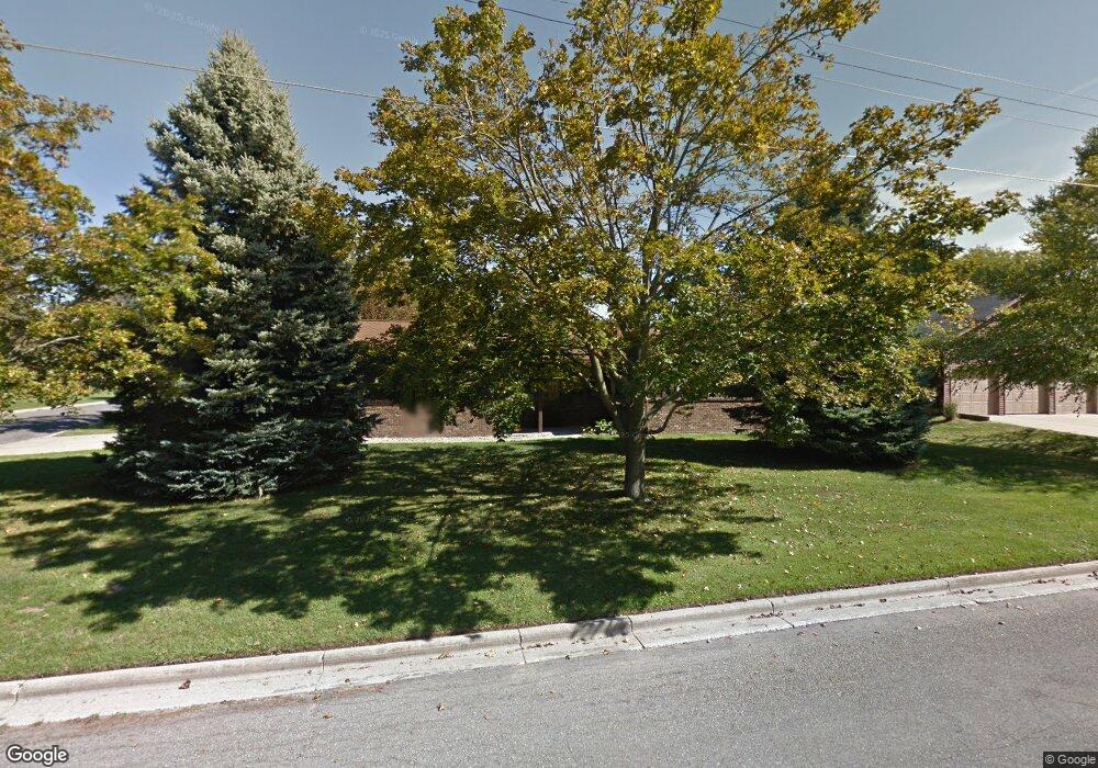
1021 N Taffee Dr Hastings, MI 49058
Estimated Value: $275,000 - $295,580
2
Beds
2
Baths
1,554
Sq Ft
$185/Sq Ft
Est. Value
About This Home
This home is located at 1021 N Taffee Dr, Hastings, MI 49058 and is currently estimated at $288,145, approximately $185 per square foot. 1021 N Taffee Dr is a home located in Barry County with nearby schools including Hastings High School, St. Rose of Lima School, and Hastings Adventist Elementary School.
Ownership History
Date
Name
Owned For
Owner Type
Purchase Details
Closed on
Nov 13, 2007
Sold by
Mitchell James R and Mitchell Julie M L
Bought by
Mitchell Susan J
Current Estimated Value
Purchase Details
Closed on
Jul 27, 2004
Sold by
Mccall Michael and Mccall Sally
Bought by
Mitchell James R and Mitchell Julie M L
Home Financials for this Owner
Home Financials are based on the most recent Mortgage that was taken out on this home.
Original Mortgage
$102,400
Interest Rate
4.5%
Mortgage Type
Purchase Money Mortgage
Create a Home Valuation Report for This Property
The Home Valuation Report is an in-depth analysis detailing your home's value as well as a comparison with similar homes in the area
Home Values in the Area
Average Home Value in this Area
Purchase History
| Date | Buyer | Sale Price | Title Company |
|---|---|---|---|
| Mitchell Susan J | $100,219 | Advantage Title & Escrow Age | |
| Mitchell James R | $128,000 | Chicago Title |
Source: Public Records
Mortgage History
| Date | Status | Borrower | Loan Amount |
|---|---|---|---|
| Previous Owner | Mitchell James R | $102,400 |
Source: Public Records
Tax History Compared to Growth
Tax History
| Year | Tax Paid | Tax Assessment Tax Assessment Total Assessment is a certain percentage of the fair market value that is determined by local assessors to be the total taxable value of land and additions on the property. | Land | Improvement |
|---|---|---|---|---|
| 2025 | $3,102 | $131,600 | $0 | $0 |
| 2024 | $3,102 | $121,000 | $0 | $0 |
| 2023 | $2,856 | $105,900 | $0 | $0 |
| 2022 | $2,856 | $105,900 | $0 | $0 |
| 2021 | $2,856 | $90,600 | $0 | $0 |
| 2020 | $2,856 | $89,000 | $0 | $0 |
| 2019 | $2,856 | $81,100 | $0 | $0 |
| 2018 | $0 | $75,300 | $0 | $0 |
| 2017 | $0 | $76,600 | $0 | $0 |
| 2016 | -- | $71,700 | $0 | $0 |
| 2015 | -- | $64,600 | $0 | $0 |
| 2014 | -- | $64,600 | $0 | $0 |
Source: Public Records
Map
Nearby Homes
- 1130 N Broadway St
- V/L S M 43 Hwy
- 903 N Michigan Ave
- 236 E Lincoln St
- 1544 Liberty Ln
- 610 Riverwalk St Unit 18
- 618 Riverwalk St
- 727 N East St
- 344 E North St Unit 23
- 502 W State St
- 520 E Thorn St
- 112 E Green St
- 800 Bachman Rd
- 714 W Green St
- 520 E State St
- 000 E Mill St
- 610 S Park St
- 736 W Grand St
- 612 E Green St
- 611 E Walnut St
- 1003 N Taffee Dr
- 1014 N Broadway St
- 1019 N Glenwood Dr
- 325 W Benson St
- 1006 N Broadway St
- 335 W Benson St
- 1108 N Broadway St
- 935 N Taffee Dr
- 1002 N Taffee Dr
- 1011 N Glenwood Dr
- 920 N Broadway St
- 411 W Benson St
- 925 N Taffee Dr
- 1005 N Glenwood Dr
- 1023 N Broadway St
- 930 N Taffee Dr
- 1009 N Broadway St
- 1003 N Broadway St
- 419 W Benson St
- 910 N Broadway St