1021 Riverside Dr Mays Landing, NJ 08330
Estimated Value: $387,000 - $460,000
--
Bed
--
Bath
493
Sq Ft
$864/Sq Ft
Est. Value
About This Home
This home is located at 1021 Riverside Dr, Mays Landing, NJ 08330 and is currently estimated at $426,119, approximately $864 per square foot. 1021 Riverside Dr is a home located in Atlantic County with nearby schools including Weymouth Twp Elementary School, St. Vincent de Paul Regional School, and Mays Landing Baptist Academy.
Ownership History
Date
Name
Owned For
Owner Type
Purchase Details
Closed on
Nov 30, 2023
Sold by
Puggi Michael
Bought by
R & R Holding Company Llc
Current Estimated Value
Purchase Details
Closed on
May 6, 2013
Sold by
Wade Patrick and Wade Richard W
Bought by
Puggi Michael
Purchase Details
Closed on
Apr 18, 2005
Sold by
Myers Charles G
Bought by
Myers Charles G and Wade Patrick
Purchase Details
Closed on
Sep 30, 2003
Sold by
Wade Patrick
Bought by
Myers Charles
Home Financials for this Owner
Home Financials are based on the most recent Mortgage that was taken out on this home.
Original Mortgage
$175,000
Interest Rate
6.25%
Mortgage Type
Balloon
Purchase Details
Closed on
Nov 8, 2002
Sold by
Devito Frank and Devito Anna
Bought by
Smith Leona June Akins
Purchase Details
Closed on
Nov 29, 2001
Sold by
Myers Charles G and Wade Richard
Bought by
Wade Patrick R
Home Financials for this Owner
Home Financials are based on the most recent Mortgage that was taken out on this home.
Original Mortgage
$123,982
Interest Rate
6.54%
Mortgage Type
FHA
Create a Home Valuation Report for This Property
The Home Valuation Report is an in-depth analysis detailing your home's value as well as a comparison with similar homes in the area
Home Values in the Area
Average Home Value in this Area
Purchase History
| Date | Buyer | Sale Price | Title Company |
|---|---|---|---|
| R & R Holding Company Llc | $384,500 | Surety Title | |
| Puggi Michael | $220,000 | Surety Title | |
| Myers Charles G | -- | -- | |
| Myers Charles | $235,000 | -- | |
| Myers Charles G | $235,000 | Lawyers Title Insurance Corp | |
| Smith Leona June Akins | $75,000 | Fidelity National | |
| Wade Patrick R | $163,000 | -- |
Source: Public Records
Mortgage History
| Date | Status | Borrower | Loan Amount |
|---|---|---|---|
| Previous Owner | Myers Charles G | $175,000 | |
| Previous Owner | Wade Patrick R | $123,982 |
Source: Public Records
Tax History Compared to Growth
Tax History
| Year | Tax Paid | Tax Assessment Tax Assessment Total Assessment is a certain percentage of the fair market value that is determined by local assessors to be the total taxable value of land and additions on the property. | Land | Improvement |
|---|---|---|---|---|
| 2025 | $7,508 | $265,400 | $242,300 | $23,100 |
| 2024 | $7,508 | $265,400 | $242,300 | $23,100 |
| 2023 | $7,198 | $265,400 | $242,300 | $23,100 |
| 2022 | $7,198 | $265,400 | $242,300 | $23,100 |
| 2021 | $7,216 | $265,400 | $242,300 | $23,100 |
| 2020 | $7,139 | $270,400 | $242,300 | $28,100 |
| 2019 | $6,930 | $270,400 | $242,300 | $28,100 |
| 2018 | $6,833 | $270,400 | $242,300 | $28,100 |
| 2017 | $6,865 | $270,400 | $242,300 | $28,100 |
| 2016 | $6,688 | $275,000 | $250,000 | $25,000 |
| 2015 | $7,574 | $325,200 | $283,500 | $41,700 |
| 2014 | $3,891 | $108,300 | $83,500 | $24,800 |
Source: Public Records
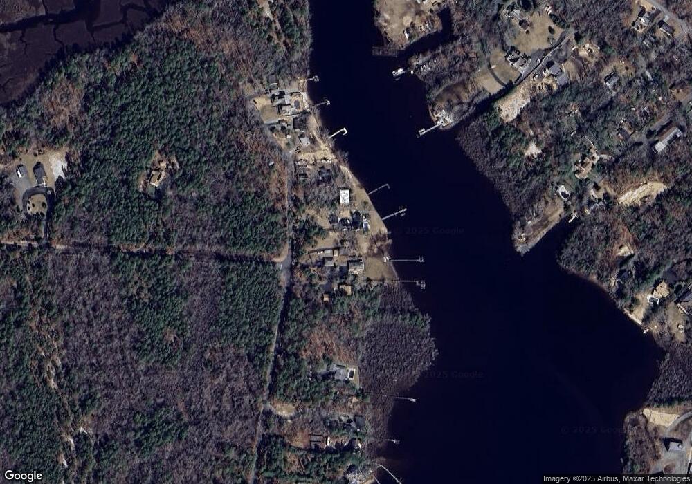
Map
Nearby Homes
- 1101 Riverside Dr
- 1017 Riverside Dr
- 1103 Riverside Dr
- 1013 Riverside Dr
- 1011 Riverside Dr
- 1109 W Riverside Dr
- 1007 Riverside Dr
- 1106 W Riverside Dr
- 1111 W Riverside Dr
- 1111 Riverside Dr
- 1005 Riverside Dr
- 1003 W Riverside Dr
- 1003 Riverside Dr
- 1113 Riverside Dr
- 1001 Riverside Dr
- 1109 Riverside Dr
- 1115 Riverside Dr
- 19 Lowell St
- 109 Katherine Ave
- 1117 Riverside Dr