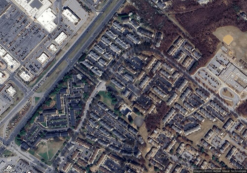
1021 Simsbury Ct Crofton, MD 21114
Estimated Value: $339,103 - $383,000
--
Bed
3
Baths
1,368
Sq Ft
$264/Sq Ft
Est. Value
About This Home
This home is located at 1021 Simsbury Ct, Crofton, MD 21114 and is currently estimated at $361,776, approximately $264 per square foot. 1021 Simsbury Ct is a home located in Anne Arundel County with nearby schools including Nantucket Elementary School, Crofton Middle School, and Crofton High School.
Ownership History
Date
Name
Owned For
Owner Type
Purchase Details
Closed on
Apr 21, 2009
Sold by
Dardzinski Doreen M
Bought by
Dardzinski Doreen M
Current Estimated Value
Purchase Details
Closed on
Feb 2, 1995
Sold by
Richards Group Of Washington
Bought by
Dardzinski Joseph R
Home Financials for this Owner
Home Financials are based on the most recent Mortgage that was taken out on this home.
Original Mortgage
$109,950
Interest Rate
9.13%
Create a Home Valuation Report for This Property
The Home Valuation Report is an in-depth analysis detailing your home's value as well as a comparison with similar homes in the area
Home Values in the Area
Average Home Value in this Area
Purchase History
| Date | Buyer | Sale Price | Title Company |
|---|---|---|---|
| Dardzinski Doreen M | -- | -- | |
| Dardzinski Joseph R | $112,072 | -- |
Source: Public Records
Mortgage History
| Date | Status | Borrower | Loan Amount |
|---|---|---|---|
| Previous Owner | Dardzinski Joseph R | $109,950 |
Source: Public Records
Tax History Compared to Growth
Tax History
| Year | Tax Paid | Tax Assessment Tax Assessment Total Assessment is a certain percentage of the fair market value that is determined by local assessors to be the total taxable value of land and additions on the property. | Land | Improvement |
|---|---|---|---|---|
| 2025 | $2,385 | $302,567 | -- | -- |
| 2024 | $2,385 | $280,133 | $0 | $0 |
| 2023 | $2,332 | $257,700 | $130,000 | $127,700 |
| 2022 | $2,661 | $254,633 | $0 | $0 |
| 2021 | $4,292 | $251,567 | $0 | $0 |
| 2020 | $2,072 | $248,500 | $110,000 | $138,500 |
| 2019 | $4,069 | $238,933 | $0 | $0 |
| 2018 | $2,326 | $229,367 | $0 | $0 |
| 2017 | $1,890 | $219,800 | $0 | $0 |
| 2016 | -- | $211,467 | $0 | $0 |
| 2015 | -- | $203,133 | $0 | $0 |
| 2014 | -- | $194,800 | $0 | $0 |
Source: Public Records
Map
Nearby Homes
- 2402 Wentworth Dr
- 1105 Simsbury Ct
- 2429 Lizbec Ct
- 1961 Pawlet Dr
- 1260 Needham Ct
- 2050 Pawlet Dr
- 2539 Vineyard Ln
- 1448 Orleans Ct
- 1454 Vineyard Ct Unit 111XC
- 1470 Orleans Ct
- 1516 Marlborough Ct
- 2605 Chapel Lake Dr Unit 212
- 1611 Airy Hill Ct Unit 9C
- 2435 Vineyard Ln
- 2504 Airy Hill Cir Unit 1C
- 2607 Chapel Lake Dr Unit 208
- 1007 Carbondale Way
- 2359 Putnam Ln
- 2610 Chapel Lake Dr Unit 112
- 1523 Ashburnham Dr
- 1019 Simsbury Ct
- 1019 Simsbury Ct Unit 59B
- 1017 Simsbury Ct
- 1023 Simsbury Ct
- 1015 Simsbury Ct
- 1015 Simsbury Ct
- 1015 Simsbury Ct Unit 60F
- 1013 Simsbury Ct
- 1011 Simsbury Ct
- 1009 Simsbury Ct Unit 61F
- 1009 Simsbury Ct
- 1007 Simsbury Ct
- 1005 Simsbury Ct
- 1027 Simsbury Ct Unit 58A
- 1027 Simsbury Ct
- 1025 Simsbury Ct
- 1029 Simsbury Ct
- 1031 Simsbury Ct
- 1033 Simsbury Ct
- 1035 Simsbury Ct
