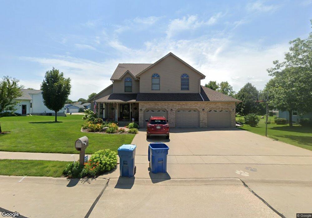
1021 Springbrook Ln de Witt, IA 52742
Estimated Value: $376,000 - $517,000
4
Beds
3
Baths
2,584
Sq Ft
$181/Sq Ft
Est. Value
About This Home
This home is located at 1021 Springbrook Ln, de Witt, IA 52742 and is currently estimated at $467,751, approximately $181 per square foot. 1021 Springbrook Ln is a home located in Clinton County with nearby schools including Ekstrand Elementary School, Central Dewitt Intermediate School, and Central Dewitt Middle School.
Ownership History
Date
Name
Owned For
Owner Type
Purchase Details
Closed on
Nov 18, 2005
Sold by
Bauman William K and Bauman Jane M
Bought by
Fox Kevin A and Fox Deborah L
Current Estimated Value
Home Financials for this Owner
Home Financials are based on the most recent Mortgage that was taken out on this home.
Original Mortgage
$264,325
Outstanding Balance
$136,552
Interest Rate
5.5%
Mortgage Type
Adjustable Rate Mortgage/ARM
Estimated Equity
$331,199
Create a Home Valuation Report for This Property
The Home Valuation Report is an in-depth analysis detailing your home's value as well as a comparison with similar homes in the area
Home Values in the Area
Average Home Value in this Area
Purchase History
| Date | Buyer | Sale Price | Title Company |
|---|---|---|---|
| Fox Kevin A | $272,500 | None Available |
Source: Public Records
Mortgage History
| Date | Status | Borrower | Loan Amount |
|---|---|---|---|
| Open | Fox Kevin A | $264,325 |
Source: Public Records
Tax History
| Year | Tax Paid | Tax Assessment Tax Assessment Total Assessment is a certain percentage of the fair market value that is determined by local assessors to be the total taxable value of land and additions on the property. | Land | Improvement |
|---|---|---|---|---|
| 2025 | $7,868 | $483,350 | $55,870 | $427,480 |
| 2024 | $7,868 | $437,890 | $55,870 | $382,020 |
| 2023 | $7,220 | $437,890 | $55,870 | $382,020 |
| 2022 | $7,296 | $410,170 | $55,870 | $354,300 |
| 2021 | $7,060 | $368,260 | $39,980 | $328,280 |
| 2019 | $6,756 | $325,440 | $0 | $0 |
| 2018 | $6,592 | $325,440 | $0 | $0 |
| 2017 | $6,592 | $325,440 | $0 | $0 |
| 2016 | $5,944 | $0 | $0 | $0 |
| 2015 | $5,944 | $294,000 | $0 | $0 |
| 2014 | $6,020 | $294,000 | $0 | $0 |
| 2013 | $5,922 | $0 | $0 | $0 |
Source: Public Records
Map
Nearby Homes
- 1037 Brookview Dr
- 1144 Brookview Dr
- 1545 Silver Valley Dr
- 1710 Mackin Dr
- 00 Maynard Way
- 627 12th St
- 2307 18th Ave
- 1527 11th St
- 401 10th St
- 285th St Old Hwy 61
- 308 8th St
- 0 285th St Old Highway 61 Unit parcel 1808590000
- 285th Ave Old Hwy 61 Unit Parcel-1808600000/1
- 285th Ave Old Hwy 61 Unit Parcels 1808590000/
- lot 1 225th St
- lot 2 225th St
- 00 3rd St
- 306 13th Ave
- 119 14th Ave
- 510 2nd St
- 1117 Springbrook Ln
- 0 Springbrook Ln
- 0 Springbrook Ln
- 1025 Springbrook Ln
- 1713 Valley Way
- 1125 Springbrook Ln
- 1101 Springbrook Ln
- 1005 Springbrook Ln
- 1112 Springbrook Ln
- 1705 Valley Way
- 1104 Springbrook Ln
- 1109 Springbrook Ln
- 1008 Springbrook Ln
- 1000 Springbrook Ln
- 935 Springbrook Ln
- 1712 Valley Way
- 1701 Valley Way
- 1020 Pleasant Hill Dr
- 1120 Springbrook Ln
- 1024 Springbrook Ln
Your Personal Tour Guide
Ask me questions while you tour the home.