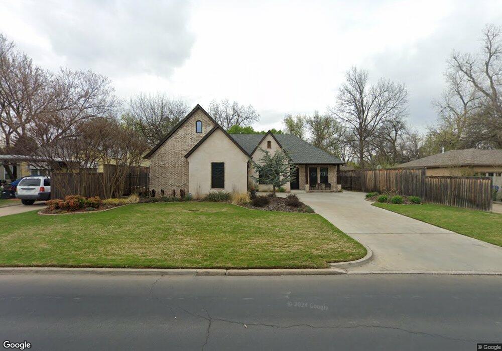
1021 W Boyd St Norman, OK 73069
Southwest Norman NeighborhoodEstimated Value: $319,000 - $613,000
3
Beds
3
Baths
1,228
Sq Ft
$397/Sq Ft
Est. Value
About This Home
This home is located at 1021 W Boyd St, Norman, OK 73069 and is currently estimated at $487,979, approximately $397 per square foot. 1021 W Boyd St is a home located in Cleveland County with nearby schools including McKinley Elementary School, Alcott Middle School, and Norman High School.
Ownership History
Date
Name
Owned For
Owner Type
Purchase Details
Closed on
Nov 29, 2006
Sold by
Junction Properties Llc
Bought by
Ferrero Edward and Ferrero Tracey
Current Estimated Value
Home Financials for this Owner
Home Financials are based on the most recent Mortgage that was taken out on this home.
Original Mortgage
$87,920
Outstanding Balance
$52,740
Interest Rate
6.37%
Mortgage Type
New Conventional
Estimated Equity
$435,239
Purchase Details
Closed on
Jun 1, 2006
Sold by
Jp Morgan Cahse Bank
Bought by
Junction Prpeties Llc
Create a Home Valuation Report for This Property
The Home Valuation Report is an in-depth analysis detailing your home's value as well as a comparison with similar homes in the area
Home Values in the Area
Average Home Value in this Area
Purchase History
| Date | Buyer | Sale Price | Title Company |
|---|---|---|---|
| Ferrero Edward | $110,000 | None Available | |
| Junction Prpeties Llc | $85,000 | None Available |
Source: Public Records
Mortgage History
| Date | Status | Borrower | Loan Amount |
|---|---|---|---|
| Open | Ferrero Edward | $87,920 |
Source: Public Records
Tax History Compared to Growth
Tax History
| Year | Tax Paid | Tax Assessment Tax Assessment Total Assessment is a certain percentage of the fair market value that is determined by local assessors to be the total taxable value of land and additions on the property. | Land | Improvement |
|---|---|---|---|---|
| 2024 | $5,349 | $45,660 | $4,932 | $40,728 |
| 2023 | $5,363 | $45,660 | $2,400 | $43,260 |
| 2022 | $5,076 | $45,089 | $2,366 | $42,723 |
| 2021 | $5,193 | $43,775 | $2,400 | $41,375 |
| 2020 | $5,140 | $44,274 | $2,380 | $41,894 |
| 2019 | $290 | $2,400 | $2,400 | $0 |
| 2018 | $1,405 | $11,989 | $2,141 | $9,848 |
| 2017 | $1,353 | $13,439 | $0 | $0 |
| 2016 | $1,310 | $10,874 | $1,942 | $8,932 |
| 2015 | -- | $10,356 | $1,252 | $9,104 |
| 2014 | -- | $9,863 | $1,193 | $8,670 |
Source: Public Records
Map
Nearby Homes
- 1202 Windsor Way
- 444 S Pickard Ave
- 1125 W Apache St
- 531 S Berry Rd
- 415 S Pickard Ave
- 1222 Windsor Way
- 818 W Boyd St
- 1017 Mcfarland St
- 1221 Cruce St
- 915 W Comanche St
- 810 S Lahoma Ave
- 1614 Cruce St
- 1424 Avondale Dr
- 318 College Ave
- 1510 Melrose Dr
- 1626 Lenox Dr
- 1032 W Lindsey St
- 1527 Camden Way
- 2906 Gulliver St
- 1307 Barbour St
- 1023 W Boyd St
- 1019 W Boyd St
- 1025 W Boyd St
- 1104 Grover Ln
- 1015 W Boyd St
- 1106 Grover Ln
- 1016 Grover Ln
- 1027 W Boyd St
- 1028 W Boyd St
- 1030 W Boyd St
- 1110 Grover Ln
- 1026 W Boyd St
- 1014 Grover Ln
- 1022 W Boyd St
- 1032 W Boyd St
- 1114 Grover Ln
- 1029 W Boyd St
- 1034 W Boyd St
- 528 Merrywood Ln
- 520 Merrywood Ln