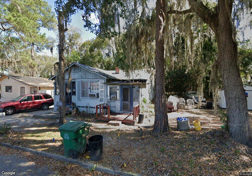
1021 West St Valdosta, GA 31601
Estimated Value: $56,000 - $73,000
2
Beds
1
Bath
867
Sq Ft
$74/Sq Ft
Est. Value
About This Home
This home is located at 1021 West St, Valdosta, GA 31601 and is currently estimated at $64,218, approximately $74 per square foot. 1021 West St is a home located in Lowndes County with nearby schools including S.L. Mason Elementary School, Valdosta Middle School, and Valdosta High School.
Ownership History
Date
Name
Owned For
Owner Type
Purchase Details
Closed on
Feb 21, 2024
Sold by
Gabbrielle Estates Llc
Bought by
Cov Val Llc
Current Estimated Value
Purchase Details
Closed on
Jun 13, 2012
Sold by
Mcdonald Deloris
Bought by
Sullins Donald L
Home Financials for this Owner
Home Financials are based on the most recent Mortgage that was taken out on this home.
Original Mortgage
$31,500
Interest Rate
4%
Mortgage Type
New Conventional
Purchase Details
Closed on
Jul 13, 2004
Sold by
Mcdonald Mayo and Mcdonald Deloris
Bought by
Mcdonald Deloris
Purchase Details
Closed on
Aug 11, 1992
Bought by
Mcdonald Mayo and Mcdonald Deloris
Purchase Details
Closed on
Jul 31, 1983
Bought by
Mcdonald Mayo and Mcdonald Hall, R
Purchase Details
Closed on
Jan 2, 1973
Bought by
Miller Willis Linton
Purchase Details
Closed on
Jan 1, 1973
Bought by
Miller Willis Linton
Create a Home Valuation Report for This Property
The Home Valuation Report is an in-depth analysis detailing your home's value as well as a comparison with similar homes in the area
Home Values in the Area
Average Home Value in this Area
Purchase History
| Date | Buyer | Sale Price | Title Company |
|---|---|---|---|
| Cov Val Llc | -- | -- | |
| Sullins Donald L | $35,000 | -- | |
| Mcdonald Deloris | -- | -- | |
| Mcdonald Mayo | -- | -- | |
| Mcdonald Mayo | $7,000 | -- | |
| Miller Willis Linton | -- | -- | |
| Miller Willis Linton | -- | -- |
Source: Public Records
Mortgage History
| Date | Status | Borrower | Loan Amount |
|---|---|---|---|
| Previous Owner | Sullins Donald L | $31,500 |
Source: Public Records
Tax History Compared to Growth
Tax History
| Year | Tax Paid | Tax Assessment Tax Assessment Total Assessment is a certain percentage of the fair market value that is determined by local assessors to be the total taxable value of land and additions on the property. | Land | Improvement |
|---|---|---|---|---|
| 2024 | $267 | $9,567 | $1,208 | $8,359 |
| 2023 | $267 | $9,378 | $1,208 | $8,170 |
| 2022 | $231 | $6,850 | $1,208 | $5,642 |
| 2021 | $238 | $6,850 | $1,208 | $5,642 |
| 2020 | $243 | $6,850 | $1,208 | $5,642 |
| 2019 | $243 | $6,850 | $1,208 | $5,642 |
| 2018 | $246 | $6,850 | $1,208 | $5,642 |
| 2017 | $248 | $6,850 | $1,208 | $5,642 |
| 2016 | $248 | $6,849 | $1,208 | $5,642 |
| 2015 | $227 | $6,849 | $1,208 | $5,642 |
| 2014 | $231 | $6,849 | $1,208 | $5,642 |
Source: Public Records
Map
Nearby Homes
- * Sustella - Green Unit 3
- 410 W Adair St
- 808 W Adair St
- 803 Johnson St
- 704 3rd Ave
- 820 W Gordon St
- 0 Canal St
- 1110 N Patterson St
- 701 Johnson St
- 516 N Oak St
- 724 J L Lomax Dr
- 614 Lamar St
- 410 Floyd St
- 201 N Wells St
- 1202 Melissa Dr
- 311 E Adair St
- 404 Floyd St
- 1197 Jo Ree St
- 1208 N Ashley St
- 1402 Iola Dr
- 1015 West St
- 611 Sustella Ave
- 613 Sustella Ave
- 615 Sustella Ave
- 1013 West St
- 609 Sustella Ave
- 1103 West St
- 1008 West St
- 607 Sustella Ave
- 523 Sustella Ave
- 1009 Nicholas Dr
- 1006 West St
- 605 Sustella Ave
- 603 Sustella Ave
- 522 Sustella Ave
- 1003 West St
- 1004 West St
- 519 Sustella Ave
- 1004 Sustella Ln
- 601 Sustella Ave