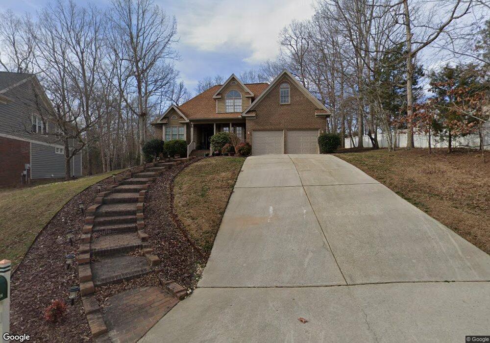
1021 Woodhall Ln Durham, NC 27712
Estimated Value: $493,000 - $616,000
3
Beds
3
Baths
2,450
Sq Ft
$218/Sq Ft
Est. Value
About This Home
This home is located at 1021 Woodhall Ln, Durham, NC 27712 and is currently estimated at $534,551, approximately $218 per square foot. 1021 Woodhall Ln is a home located in Durham County with nearby schools including Little River Elementary School, Lucas Middle School, and Northern High School.
Ownership History
Date
Name
Owned For
Owner Type
Purchase Details
Closed on
Jul 24, 2012
Sold by
Furst Mary
Bought by
Mott Dennis W and Moore-Mott Sherri L
Current Estimated Value
Home Financials for this Owner
Home Financials are based on the most recent Mortgage that was taken out on this home.
Original Mortgage
$254,800
Outstanding Balance
$176,301
Interest Rate
3.72%
Mortgage Type
VA
Estimated Equity
$358,250
Purchase Details
Closed on
Sep 11, 2001
Sold by
Gilleskie Alexander John and Gilleskie Mary Ann
Bought by
Furst William Daniel and Furst Mary
Home Financials for this Owner
Home Financials are based on the most recent Mortgage that was taken out on this home.
Original Mortgage
$110,000
Interest Rate
5.37%
Create a Home Valuation Report for This Property
The Home Valuation Report is an in-depth analysis detailing your home's value as well as a comparison with similar homes in the area
Home Values in the Area
Average Home Value in this Area
Purchase History
| Date | Buyer | Sale Price | Title Company |
|---|---|---|---|
| Mott Dennis W | $255,000 | None Available | |
| Furst William Daniel | $270,000 | -- |
Source: Public Records
Mortgage History
| Date | Status | Borrower | Loan Amount |
|---|---|---|---|
| Open | Mott Dennis W | $254,800 | |
| Previous Owner | Furst William Daniel | $110,000 |
Source: Public Records
Tax History Compared to Growth
Tax History
| Year | Tax Paid | Tax Assessment Tax Assessment Total Assessment is a certain percentage of the fair market value that is determined by local assessors to be the total taxable value of land and additions on the property. | Land | Improvement |
|---|---|---|---|---|
| 2025 | $4,815 | $485,762 | $124,200 | $361,562 |
| 2024 | $3,890 | $278,884 | $51,787 | $227,097 |
| 2023 | $3,653 | $278,884 | $51,787 | $227,097 |
| 2022 | $3,569 | $278,884 | $51,787 | $227,097 |
| 2021 | $3,553 | $278,884 | $51,787 | $227,097 |
| 2020 | $3,469 | $278,884 | $51,787 | $227,097 |
| 2019 | $3,469 | $278,884 | $51,787 | $227,097 |
| 2018 | $3,825 | $281,967 | $44,882 | $237,085 |
| 2017 | $3,797 | $281,967 | $44,882 | $237,085 |
| 2016 | $3,669 | $281,967 | $44,882 | $237,085 |
| 2015 | $4,280 | $309,156 | $65,577 | $243,579 |
| 2014 | $4,280 | $309,156 | $65,577 | $243,579 |
Source: Public Records
Map
Nearby Homes
- 1211 E Pointe Dr
- 1119 Stonebridge Dr
- 1126 Stonebridge Dr
- 105 Blackford Ct
- 1213 Rocky Point Ln
- 310 Loblolly Dr
- 6228 Old Tavern Dr
- 20 Grandwood Cir
- 125 Rhododendron Dr
- 105 Abbotsford Ct
- 614 Red Cedar Cir
- 8011 Old Trail Dr
- 122 Loblolly Dr
- 3426 Fairway Ln
- 2602 Vintage Hill Ct
- 1238 Champions Pointe Dr
- 817 Bent Creek Rd
- 105 Wright Hill Dr
- 4 Springtree Cir
- 604 Orange Factory Rd
- 1019 Woodhall Ln
- 1033 Woodhall Ln Unit 38
- 1033 Woodhall Ln Unit 31
- 1033 Woodhall Ln
- 1206 E Pointe Dr
- 1204 E Pointe Dr
- 1017 Woodhall Ln Unit Lt3
- 1017 Woodhall Ln Unit 35
- 1017 Woodhall Ln
- 1202 E Pointe Dr
- 1210 E Pointe Dr
- 1015 Woodhall Ln
- 1212 E Pointe Dr
- 1213 E Pointe Dr
- 1209 E Pointe Dr
- 1013 Woodhall Ln
- 1018 Woodhall Ln
- 1215 E Pointe Dr
- 1207 E Pointe Dr
- 1101 Stonebridge Dr