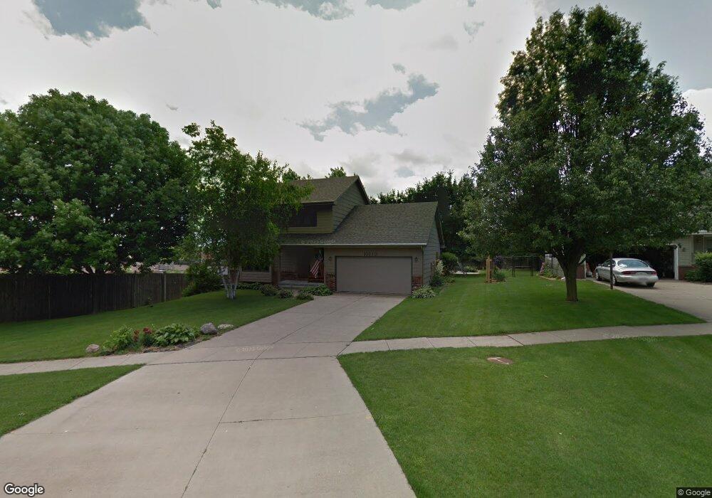
10210 Clark St Clive, IA 50325
Indian Hills NeighborhoodEstimated Value: $350,000 - $378,615
3
Beds
3
Baths
1,850
Sq Ft
$198/Sq Ft
Est. Value
About This Home
This home is located at 10210 Clark St, Clive, IA 50325 and is currently estimated at $367,154, approximately $198 per square foot. 10210 Clark St is a home located in Polk County with nearby schools including Crossroads Park Elementary School, Indian Hills Junior High School, and Valley Southwoods Freshman High School.
Ownership History
Date
Name
Owned For
Owner Type
Purchase Details
Closed on
Oct 20, 2016
Sold by
Spencer Michael and Spencer Angela
Bought by
Mullane Brenda C
Current Estimated Value
Purchase Details
Closed on
Oct 23, 2007
Sold by
Peterson Gary B and Peterson Anne E
Bought by
Spencer Michael and Spencer Angela
Home Financials for this Owner
Home Financials are based on the most recent Mortgage that was taken out on this home.
Original Mortgage
$153,200
Interest Rate
6.45%
Mortgage Type
Purchase Money Mortgage
Purchase Details
Closed on
Jul 16, 2003
Sold by
Peterson Gary B and Peterson Anne E
Bought by
Peterson Gary B and Peterson Anne E
Purchase Details
Closed on
Jul 24, 2001
Sold by
Harris W Lee and Harris Carline
Bought by
Peterson Gary Brent
Home Financials for this Owner
Home Financials are based on the most recent Mortgage that was taken out on this home.
Original Mortgage
$151,050
Interest Rate
7.16%
Create a Home Valuation Report for This Property
The Home Valuation Report is an in-depth analysis detailing your home's value as well as a comparison with similar homes in the area
Home Values in the Area
Average Home Value in this Area
Purchase History
| Date | Buyer | Sale Price | Title Company |
|---|---|---|---|
| Mullane Brenda C | $215,000 | None Available | |
| Spencer Michael | $191,000 | None Available | |
| Peterson Gary B | -- | -- | |
| Peterson Gary Brent | $158,500 | -- |
Source: Public Records
Mortgage History
| Date | Status | Borrower | Loan Amount |
|---|---|---|---|
| Previous Owner | Spencer Michael | $153,200 | |
| Previous Owner | Peterson Gary Brent | $151,050 |
Source: Public Records
Tax History Compared to Growth
Tax History
| Year | Tax Paid | Tax Assessment Tax Assessment Total Assessment is a certain percentage of the fair market value that is determined by local assessors to be the total taxable value of land and additions on the property. | Land | Improvement |
|---|---|---|---|---|
| 2024 | $4,652 | $315,300 | $63,300 | $252,000 |
| 2023 | $4,768 | $315,300 | $63,300 | $252,000 |
| 2022 | $4,710 | $263,300 | $54,000 | $209,300 |
| 2021 | $4,772 | $263,300 | $54,000 | $209,300 |
| 2020 | $4,704 | $244,900 | $49,900 | $195,000 |
| 2019 | $4,478 | $244,900 | $49,900 | $195,000 |
| 2018 | $4,050 | $224,800 | $44,400 | $180,400 |
| 2017 | $3,634 | $207,300 | $44,400 | $162,900 |
| 2016 | $3,550 | $190,200 | $40,100 | $150,100 |
| 2015 | $3,550 | $190,200 | $40,100 | $150,100 |
| 2014 | $3,242 | $178,900 | $37,200 | $141,700 |
Source: Public Records
Map
Nearby Homes
- 10490 Elmcrest Dr
- 1563 NW 99th Ct
- 1495 Rio Valley Dr
- 10546 Forest Ave
- 10475 Sunset Terrace
- 1752 NW 101st St
- 1679 NW 99th St
- 1538 NW 106th St
- 10580 Greenbelt Dr
- 9906 Lincoln Ave
- 3997 NW 179th Ct
- 9527 University Ave Unit 21
- 9527 University Ave Unit 15
- 11265 Twilight Dr
- 9452 Lincoln Ave
- 17686 Townsend Dr
- 17662 Hammontree Dr
- 17686 Hammontree Dr
- 17736 Hammontree Dr
- 17769 Townsend Dr
- 10240 Clark St
- 10260 Clark St
- 10205 Clark St
- 10179 Clark St
- 10233 Clark St
- 10280 Clark St
- 1409 NW 103rd St
- 1440 NW 102nd St
- 1433 NW 102nd St
- 1425 NW 103rd St
- 10300 Clark St
- 1445 NW 102nd St
- 1456 NW 102nd St
- 1441 NW 103rd St
- 10119 Clark St
- 10320 Clark St
- 1463 NW 102nd St
- 1447 NW 103rd St
- 1470 NW 102nd St
- 1408 NW 103rd St