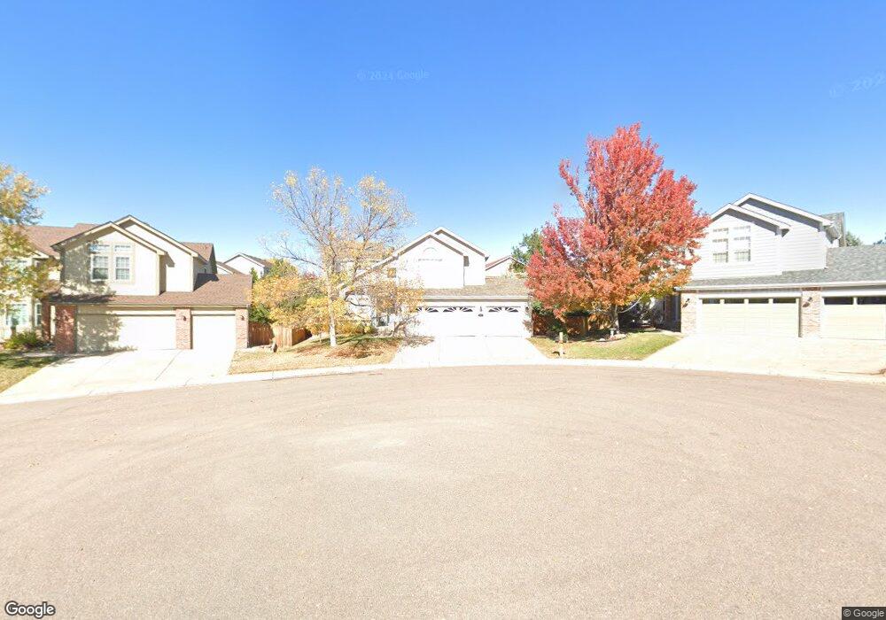
10217 Hexton Ct Lone Tree, CO 80124
Estimated Value: $666,000 - $792,000
3
Beds
3
Baths
1,921
Sq Ft
$373/Sq Ft
Est. Value
About This Home
This home is located at 10217 Hexton Ct, Lone Tree, CO 80124 and is currently estimated at $716,054, approximately $372 per square foot. 10217 Hexton Ct is a home located in Douglas County with nearby schools including Acres Green Elementary School, Cresthill Middle School, and Highlands Ranch High School.
Ownership History
Date
Name
Owned For
Owner Type
Purchase Details
Closed on
Apr 8, 2020
Sold by
Smith Addison B and Yang Emily Yit
Bought by
Smith Yang Family Trust
Current Estimated Value
Purchase Details
Closed on
Sep 14, 1999
Sold by
Smith Addison B
Bought by
Smith Addison B and Yang Emily Yit Yew
Home Financials for this Owner
Home Financials are based on the most recent Mortgage that was taken out on this home.
Original Mortgage
$142,200
Interest Rate
7.47%
Purchase Details
Closed on
Jul 19, 1999
Sold by
Us Home Corp
Bought by
Smith Addison B
Home Financials for this Owner
Home Financials are based on the most recent Mortgage that was taken out on this home.
Original Mortgage
$142,200
Interest Rate
7.47%
Create a Home Valuation Report for This Property
The Home Valuation Report is an in-depth analysis detailing your home's value as well as a comparison with similar homes in the area
Home Values in the Area
Average Home Value in this Area
Purchase History
| Date | Buyer | Sale Price | Title Company |
|---|---|---|---|
| Smith Yang Family Trust | -- | None Available | |
| Smith Addison B | -- | -- | |
| Smith Addison B | $203,201 | First American Heritage Titl |
Source: Public Records
Mortgage History
| Date | Status | Borrower | Loan Amount |
|---|---|---|---|
| Previous Owner | Smith Addison B | $142,200 |
Source: Public Records
Tax History Compared to Growth
Tax History
| Year | Tax Paid | Tax Assessment Tax Assessment Total Assessment is a certain percentage of the fair market value that is determined by local assessors to be the total taxable value of land and additions on the property. | Land | Improvement |
|---|---|---|---|---|
| 2024 | $4,073 | $47,170 | $10,940 | $36,230 |
| 2023 | $4,114 | $47,170 | $10,940 | $36,230 |
| 2022 | $3,115 | $34,260 | $7,430 | $26,830 |
| 2021 | $3,240 | $34,260 | $7,430 | $26,830 |
| 2020 | $3,246 | $35,180 | $7,120 | $28,060 |
| 2019 | $3,257 | $35,180 | $7,120 | $28,060 |
| 2018 | $2,504 | $28,930 | $6,210 | $22,720 |
| 2017 | $2,544 | $28,930 | $6,210 | $22,720 |
| 2016 | $2,616 | $29,140 | $6,190 | $22,950 |
| 2015 | $2,674 | $29,140 | $6,190 | $22,950 |
| 2014 | $2,210 | $22,590 | $6,530 | $16,060 |
Source: Public Records
Map
Nearby Homes
- 10225 Dunsford Dr
- 7855 Arundel Ln
- 10040 Poudre Ct
- 10456 Carriage Club Dr
- 9943 Cottoncreek Dr
- 9838 Cypress Point Cir
- 7438 Indian Wells Ln
- 7195 Leopard Gate
- 9851 Greensview Cir
- 7093 Leopard Dr
- 7053 Leopard Dr
- 9873 Greensview Cir
- 9888 Falcon Creek Dr
- 10518 Tigers Eye
- 10102 Prestwick Trail
- 9682 Hemlock Ct
- 10330 Lions Path
- 10375 Lions Heart
- 7469 La Quinta Place
- 7146 Newhall Dr
- 10227 Hexton Ct
- 10207 Hexton Ct
- 7578 Bantry Ct
- 7592 Bantry Ct
- 7564 Bantry Ct
- 7606 Bantry Ct
- 10208 Hexton Ct
- 10237 Hexton Ct
- 7550 Bantry Ct
- 7622 Bantry Ct
- 10218 Hexton Ct
- 10248 Hexton Ct
- 10228 Hexton Ct
- 10235 Dunsford Dr
- 10247 Hexton Ct
- 10241 Dunsford Dr
- 7536 Bantry Ct
- 10229 Dunsford Dr
- 7652 Bantry Ct
- 7593 Bantry Ct