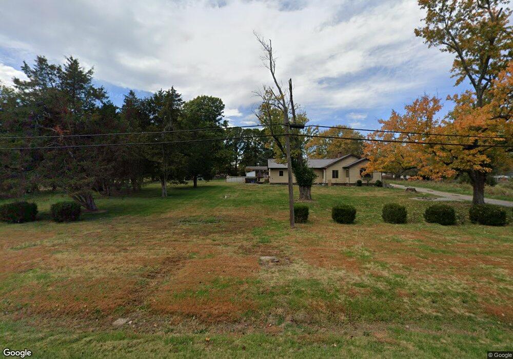
10219 Illinois 127 Murphysboro, IL 62966
Estimated Value: $163,000 - $352,025
3
Beds
2
Baths
2,434
Sq Ft
$92/Sq Ft
Est. Value
About This Home
This home is located at 10219 Illinois 127, Murphysboro, IL 62966 and is currently estimated at $224,006, approximately $92 per square foot. 10219 Illinois 127 is a home located in Jackson County with nearby schools including Murphysboro High School, St. Andrew Catholic School, and Montessori School of S. Illinois.
Ownership History
Date
Name
Owned For
Owner Type
Purchase Details
Closed on
May 3, 2024
Sold by
Robinson Elizabeth S and Robinson Michael T
Bought by
Swain Jacob S and Swain Sarah A
Current Estimated Value
Home Financials for this Owner
Home Financials are based on the most recent Mortgage that was taken out on this home.
Original Mortgage
$115,500
Outstanding Balance
$113,877
Interest Rate
6.87%
Mortgage Type
New Conventional
Estimated Equity
$110,129
Purchase Details
Closed on
Nov 28, 2012
Sold by
Secretary Of Veterans Affairs
Bought by
Robinson Michael T and Robinson Elizabeth S
Purchase Details
Closed on
Dec 6, 2006
Sold by
Davenport Robert A and Davenport Berneice
Bought by
Smith Gerald H
Home Financials for this Owner
Home Financials are based on the most recent Mortgage that was taken out on this home.
Original Mortgage
$139,000
Interest Rate
6.33%
Mortgage Type
VA
Create a Home Valuation Report for This Property
The Home Valuation Report is an in-depth analysis detailing your home's value as well as a comparison with similar homes in the area
Home Values in the Area
Average Home Value in this Area
Purchase History
| Date | Buyer | Sale Price | Title Company |
|---|---|---|---|
| Swain Jacob S | -- | None Listed On Document | |
| Robinson Michael T | -- | None Available | |
| Smith Gerald H | $208,500 | None Available |
Source: Public Records
Mortgage History
| Date | Status | Borrower | Loan Amount |
|---|---|---|---|
| Open | Swain Jacob S | $115,500 | |
| Previous Owner | Smith Gerald H | $139,000 |
Source: Public Records
Tax History Compared to Growth
Tax History
| Year | Tax Paid | Tax Assessment Tax Assessment Total Assessment is a certain percentage of the fair market value that is determined by local assessors to be the total taxable value of land and additions on the property. | Land | Improvement |
|---|---|---|---|---|
| 2024 | $3,522 | $48,869 | $6,551 | $42,318 |
| 2023 | $4,044 | $52,894 | $5,813 | $47,081 |
| 2022 | $3,751 | $48,482 | $5,328 | $43,154 |
| 2021 | $3,560 | $45,485 | $4,999 | $40,486 |
| 2020 | $3,579 | $44,942 | $4,939 | $40,003 |
| 2019 | $3,285 | $44,160 | $4,853 | $39,307 |
| 2018 | $1,387 | $48,076 | $4,853 | $43,223 |
| 2017 | $1,406 | $48,076 | $4,853 | $43,223 |
| 2016 | $1,385 | $23,076 | $4,853 | $18,223 |
| 2015 | -- | $48,076 | $4,853 | $43,223 |
| 2014 | -- | $12,193 | $4,853 | $7,340 |
| 2012 | -- | $41,340 | $4,853 | $36,487 |
Source: Public Records
Map
Nearby Homes
- 15 Oakwood Ln
- 491 Wells St
- 9191 Old Highway 13
- 375 Wells St
- 8994 Old Highway 13
- 1609 Tina Dr
- 538 S 17th St
- 524 S 17th St
- 101 S 6th St
- 8694 Old Highway 13
- 000 Chestnut St
- 1435 Hoffman Rd
- 103 N 7th St
- 1302 Walnut St Unit 1302 & 1306
- 604 S 20th St
- 000 Birkner Ln
- 1827 Edith St
- 509 Lucier St
- 2237 Roblee Ave
- 1408 Manning St
- 91 Burkey Ln
- 50 Alfalfa Rd
- 115 Alfalfa Rd
- 84 Burkey Ln
- 55 Alfalfa Rd
- 10228 Highway 127
- 10188 Highway 127
- 10117 Highway 127
- 10117 Illinois 127
- 10262 Highway 127
- 10144 Highway 127
- 10290 Highway 127
- 10067 Highway 127
- 127 Jamesville Ln
- 259 Burkey Ln
- 10041 Highway 127
- 10050 Highway 127
- 63 Jamesville Ln
- 10007 Highway 127