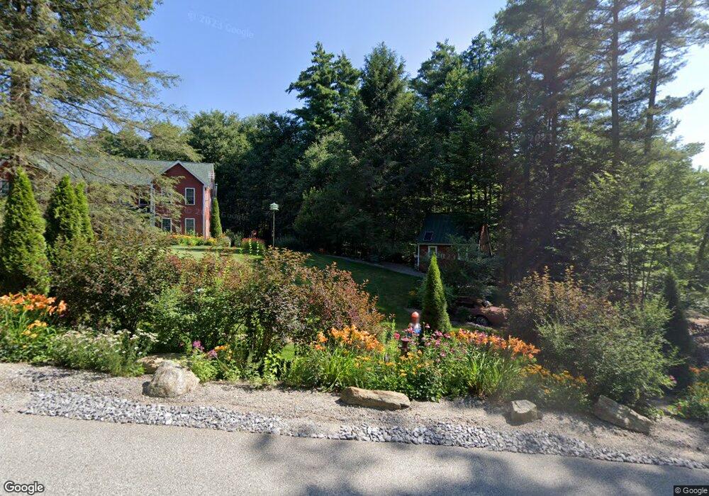
1022 Black Brook Rd Dunbarton, NH 03046
Estimated Value: $696,000 - $803,000
4
Beds
3
Baths
2,775
Sq Ft
$265/Sq Ft
Est. Value
About This Home
This home is located at 1022 Black Brook Rd, Dunbarton, NH 03046 and is currently estimated at $735,533, approximately $265 per square foot. 1022 Black Brook Rd is a home located in Merrimack County with nearby schools including Dunbarton Elementary School, Bow Memorial School, and Bow High School.
Ownership History
Date
Name
Owned For
Owner Type
Purchase Details
Closed on
Feb 25, 2010
Sold by
Sovereign Bank
Bought by
Szona Stanley J and Szona Aleeta
Current Estimated Value
Purchase Details
Closed on
Feb 1, 2010
Sold by
Briggs Ethan G
Bought by
Sovereign Bank Na
Purchase Details
Closed on
May 3, 2005
Sold by
Gps Props Inc
Bought by
Briggs Ethan G and Briggs Melissa R
Home Financials for this Owner
Home Financials are based on the most recent Mortgage that was taken out on this home.
Original Mortgage
$380,000
Interest Rate
5.95%
Mortgage Type
Purchase Money Mortgage
Create a Home Valuation Report for This Property
The Home Valuation Report is an in-depth analysis detailing your home's value as well as a comparison with similar homes in the area
Home Values in the Area
Average Home Value in this Area
Purchase History
| Date | Buyer | Sale Price | Title Company |
|---|---|---|---|
| Szona Stanley J | $260,000 | -- | |
| Sovereign Bank Na | $290,600 | -- | |
| Briggs Ethan G | $451,500 | -- |
Source: Public Records
Mortgage History
| Date | Status | Borrower | Loan Amount |
|---|---|---|---|
| Previous Owner | Briggs Ethan G | $380,000 |
Source: Public Records
Tax History Compared to Growth
Tax History
| Year | Tax Paid | Tax Assessment Tax Assessment Total Assessment is a certain percentage of the fair market value that is determined by local assessors to be the total taxable value of land and additions on the property. | Land | Improvement |
|---|---|---|---|---|
| 2024 | $9,861 | $373,800 | $85,700 | $288,100 |
| 2023 | $9,509 | $371,900 | $85,700 | $286,200 |
| 2022 | $8,546 | $371,900 | $85,700 | $286,200 |
| 2021 | $8,706 | $371,900 | $85,700 | $286,200 |
| 2020 | $8,286 | $371,900 | $85,700 | $286,200 |
| 2018 | $6,966 | $309,200 | $69,600 | $239,600 |
| 2017 | $7,919 | $309,200 | $69,600 | $239,600 |
| 2016 | $7,415 | $309,200 | $69,600 | $239,600 |
| 2015 | $7,294 | $309,200 | $69,600 | $239,600 |
| 2014 | $6,566 | $310,600 | $69,600 | $241,000 |
| 2013 | $6,526 | $310,600 | $69,600 | $241,000 |
Source: Public Records
Map
Nearby Homes
- 0 Fairway Dr Unit 11
- 3 Stephanie Rd
- 22 Fairway Dr
- 78 Rangeway Rd
- 15 Robert Rogers Rd
- 1003 School St
- 602 Black Brook Rd
- 88 Saunders Rd
- 849 River Rd
- 174 S Stark Hwy Unit 13
- 174 S Stark Hwy Unit 1
- 174 S Stark Hwy Unit 23
- 45 Range Rd
- 0 Huntington Hill Rd Unit 69
- 43 Sterling Place
- 1 Hop Kiln Rd
- 104 Brown Hill Rd
- 22 Winter Hill Rd
- 99 Elm St
- 0 Brown Hill Rd Unit 5032600
- 1015 Black Brook Rd
- 171 Stark Hwy S
- 181 Stark Hwy S
- 1031 Black Brook Rd
- 1032 Black Brook Rd
- 12 Powell Ln
- 163 Stark Hwy S
- 199 Stark Hwy S
- 0 Stark Hwy S
- 1034 Black Brook Rd
- 20 Powell Ln
- 152 Stark Hwy S
- 161 Stark Hwy S
- 201 Stark Hwy S
- 210 Stark Hwy S
- 150 Stark Hwy S
- 146 Stark Hwy S
- 151 Stark Hwy S
- 211 Stark Hwy S
- 183 Stark Hwy S