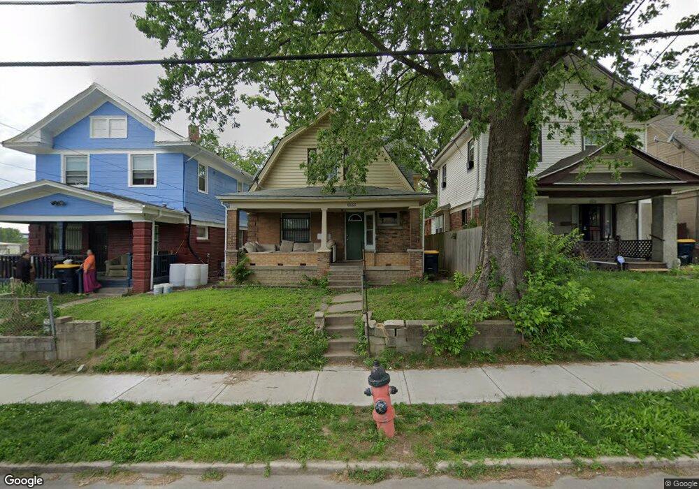
1022 Elmwood Ave Kansas City, MO 64127
Lykins NeighborhoodEstimated Value: $72,000 - $103,603
3
Beds
1
Bath
1,362
Sq Ft
$65/Sq Ft
Est. Value
About This Home
This home is located at 1022 Elmwood Ave, Kansas City, MO 64127 and is currently estimated at $88,901, approximately $65 per square foot. 1022 Elmwood Ave is a home located in Jackson County with nearby schools including Whittier Elementary School, Northeast Middle School, and Northeast High School.
Ownership History
Date
Name
Owned For
Owner Type
Purchase Details
Closed on
Jan 24, 2011
Sold by
York Teresa L
Bought by
Gardon Inc
Current Estimated Value
Purchase Details
Closed on
Feb 18, 2004
Sold by
Homes Llc
Bought by
Oconnor Shawn M and Oconner Alisha D
Home Financials for this Owner
Home Financials are based on the most recent Mortgage that was taken out on this home.
Original Mortgage
$45,500
Interest Rate
7.84%
Mortgage Type
Purchase Money Mortgage
Create a Home Valuation Report for This Property
The Home Valuation Report is an in-depth analysis detailing your home's value as well as a comparison with similar homes in the area
Home Values in the Area
Average Home Value in this Area
Purchase History
| Date | Buyer | Sale Price | Title Company |
|---|---|---|---|
| Gardon Inc | $3,132 | None Available | |
| Oconnor Shawn M | -- | Assured Quality Title Co |
Source: Public Records
Mortgage History
| Date | Status | Borrower | Loan Amount |
|---|---|---|---|
| Previous Owner | Oconnor Shawn M | $45,500 |
Source: Public Records
Tax History Compared to Growth
Tax History
| Year | Tax Paid | Tax Assessment Tax Assessment Total Assessment is a certain percentage of the fair market value that is determined by local assessors to be the total taxable value of land and additions on the property. | Land | Improvement |
|---|---|---|---|---|
| 2025 | $748 | $5,025 | $1,366 | $3,659 |
| 2024 | $741 | $9,481 | $462 | $9,019 |
| 2023 | $741 | $9,481 | $667 | $8,814 |
| 2022 | $313 | $3,800 | $581 | $3,219 |
| 2021 | $312 | $3,800 | $581 | $3,219 |
| 2020 | $308 | $3,709 | $581 | $3,128 |
| 2019 | $302 | $3,709 | $581 | $3,128 |
| 2018 | $259 | $3,253 | $285 | $2,968 |
| 2017 | $228 | $3,253 | $285 | $2,968 |
| 2016 | $228 | $2,850 | $211 | $2,639 |
| 2014 | $229 | $2,850 | $211 | $2,639 |
Source: Public Records
Map
Nearby Homes
- 1024 Elmwood Ave
- 4432 E 10th St
- 815 Elmwood Ave
- 4637 E 8th St
- 4639 E 8th St
- 800 Van Brunt Blvd
- 701 Elmwood Ave
- 706 Van Brunt Blvd
- 4316 E 7th St
- 3816-3832 E 9th Terrace
- 812 Elmwood Ave
- 5032 E 8th St
- 1323 Van Brunt Blvd
- 622 Norton Ave
- 1027 Cleveland Ave
- 1413 Denver Ave
- 526 Norton Ave
- 5207 Independence Ave
- 5209 Independence Ave
- 819 Monroe Ave
- 1018 Elmwood Ave
- 1014 Elmwood Ave
- 4432 Cloon Ave
- 4430 Cloon Ave
- 4428 Cloon Ave
- 1019 Elmwood Ave
- 4439 E 10th St
- 4437 E 10th St
- 4541 E 10th St
- 4435 E 10th St
- 1021 Elmwood Ave
- 4433 E 10th St
- 4424 Cloon Ave
- 4431 E 10th St
- 4429 E 10th St
- 4425 E 10th St
- 4416 Cloon Ave Unit 1
- 4530 E 10th St Unit 10
- 923 Elmwood Ave
- 4412 Cloon Ave