1022 High Dunes Quay Unit 101 Hampton, VA 23664
Buckroe Beach NeighborhoodEstimated Value: $265,000 - $301,000
2
Beds
2
Baths
1,216
Sq Ft
$230/Sq Ft
Est. Value
About This Home
This home is located at 1022 High Dunes Quay Unit 101, Hampton, VA 23664 and is currently estimated at $279,316, approximately $229 per square foot. 1022 High Dunes Quay Unit 101 is a home located in Hampton City with nearby schools including Francis Asbury Elementary School, Benjamin Syms Middle School, and Phoebus High School.
Ownership History
Date
Name
Owned For
Owner Type
Purchase Details
Closed on
Oct 19, 1999
Sold by
Salt Cay Assoc L L C
Bought by
Wylen Susan D
Current Estimated Value
Home Financials for this Owner
Home Financials are based on the most recent Mortgage that was taken out on this home.
Original Mortgage
$93,000
Outstanding Balance
$27,973
Interest Rate
7.78%
Estimated Equity
$251,343
Create a Home Valuation Report for This Property
The Home Valuation Report is an in-depth analysis detailing your home's value as well as a comparison with similar homes in the area
Home Values in the Area
Average Home Value in this Area
Purchase History
| Date | Buyer | Sale Price | Title Company |
|---|---|---|---|
| Wylen Susan D | $128,000 | -- |
Source: Public Records
Mortgage History
| Date | Status | Borrower | Loan Amount |
|---|---|---|---|
| Open | Wylen Susan D | $93,000 |
Source: Public Records
Tax History Compared to Growth
Tax History
| Year | Tax Paid | Tax Assessment Tax Assessment Total Assessment is a certain percentage of the fair market value that is determined by local assessors to be the total taxable value of land and additions on the property. | Land | Improvement |
|---|---|---|---|---|
| 2025 | $148 | $247,100 | $64,500 | $182,600 |
| 2024 | $2,821 | $245,300 | $64,500 | $180,800 |
| 2023 | $142 | $227,000 | $64,500 | $162,500 |
| 2022 | $2,412 | $204,400 | $50,000 | $154,400 |
| 2021 | $130 | $192,000 | $50,000 | $142,000 |
| 2020 | $2,063 | $166,400 | $50,000 | $116,400 |
| 2019 | $2,013 | $162,300 | $50,000 | $112,300 |
| 2018 | $94 | $163,900 | $50,000 | $113,900 |
| 2017 | $94 | $0 | $0 | $0 |
| 2016 | $94 | $163,900 | $0 | $0 |
| 2015 | $94 | $0 | $0 | $0 |
| 2014 | $2,220 | $169,900 | $50,000 | $119,900 |
Source: Public Records
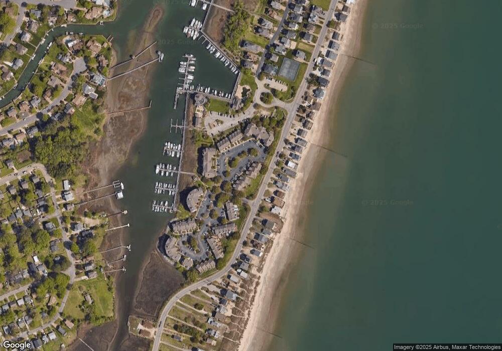
Map
Nearby Homes
- 1031 High Dunes Quay Unit 103
- 1003 High Dunes Quay Unit 302
- 1003 High Dunes Quay Unit 101
- 1003 High Dunes Quay Unit 105
- 34 Channel Ln
- 1030 Porte Harbour Arch
- 22 Channel Ln
- 231 Benthall Rd
- 309 Benthall Rd
- 7 Channel Ln
- 56 Chowning Dr
- 304 Benthall Rd
- 809 N 1st St
- 28 Sarfan Dr
- 419 Rogers Ave
- 242 Genoa Dr Unit 20
- 424 Hunlac Ave
- 236 Genoa Dr
- 205 Benthall Rd
- 31 Bay Front Place
- 1022 High Dunes Quay Unit 201
- 803 N First St
- 1024 High Dunes Quay Unit 201
- 1024 High Dunes Quay Unit 101
- 1024 High Dunes Quay
- 1020 High Dunes Quay Unit 101
- 1020 High Dunes Quay Unit 201
- 1026 High Dunes Quay
- 1026 High Dunes Quay Unit 101
- 1018 High Dunes Quay Unit 101
- 1018 High Dunes Quay Unit 201
- 1028 High Dunes Quay
- 1016 High Dunes Quay Unit 201
- 1016 High Dunes Quay Unit 101
- 778 N First St
- 780 N First St
- 776 N First St
- 774 N First St
- 782 N First St
- 1003 Porte Harbour Arch