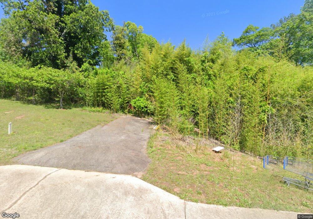
1022 Highway 19 N Thomaston, GA 30286
Estimated Value: $149,033 - $151,000
--
Bed
--
Bath
--
Sq Ft
2.77
Acres
About This Home
This home is located at 1022 Highway 19 N, Thomaston, GA 30286 and is currently estimated at $150,017. 1022 Highway 19 N is a home located in Upson County with nearby schools including Upson-Lee South Elementary School, Upson-Lee North Elementary School, and Upson-Lee Middle School.
Ownership History
Date
Name
Owned For
Owner Type
Purchase Details
Closed on
Jun 9, 2016
Sold by
Owens Janet D
Bought by
Totul Mostak M
Current Estimated Value
Home Financials for this Owner
Home Financials are based on the most recent Mortgage that was taken out on this home.
Original Mortgage
$38,000
Interest Rate
3.57%
Mortgage Type
New Conventional
Purchase Details
Closed on
Oct 18, 2007
Sold by
Not Provided
Bought by
Owens Janet D
Create a Home Valuation Report for This Property
The Home Valuation Report is an in-depth analysis detailing your home's value as well as a comparison with similar homes in the area
Home Values in the Area
Average Home Value in this Area
Purchase History
| Date | Buyer | Sale Price | Title Company |
|---|---|---|---|
| Totul Mostak M | $50,000 | -- | |
| Owens Janet D | -- | -- |
Source: Public Records
Mortgage History
| Date | Status | Borrower | Loan Amount |
|---|---|---|---|
| Closed | Totul Mostak M | $38,000 |
Source: Public Records
Tax History Compared to Growth
Tax History
| Year | Tax Paid | Tax Assessment Tax Assessment Total Assessment is a certain percentage of the fair market value that is determined by local assessors to be the total taxable value of land and additions on the property. | Land | Improvement |
|---|---|---|---|---|
| 2024 | $553 | $21,042 | $21,042 | $0 |
| 2023 | $553 | $21,042 | $21,042 | $0 |
| 2022 | $583 | $21,042 | $21,042 | $0 |
| 2021 | $554 | $21,042 | $21,042 | $0 |
| 2020 | $594 | $21,042 | $21,042 | $0 |
| 2019 | $687 | $22,437 | $22,437 | $0 |
| 2018 | $688 | $29,916 | $29,916 | $0 |
| 2017 | $672 | $29,916 | $29,916 | $0 |
| 2016 | $1,023 | $29,916 | $29,916 | $0 |
| 2015 | $1,023 | $29,916 | $29,916 | $0 |
| 2014 | $1,164 | $34,002 | $22,620 | $11,382 |
Source: Public Records
Map
Nearby Homes
- 0 Glenwood Dr Unit 10568562
- 458 E St
- 105 Salbar St
- 0 Riverside Rd Unit 10163702
- 107 Salbar St
- 307 W County Rd
- 111 Marlon St
- 104 Denham St
- 215 Denham St
- 306 Garner St
- 101 Pineview Dr
- 0 9th Ave Unit 10500756
- 318 North St
- 146 O St NW
- 104 Robinson St
- 412 Denham St
- 8 D St
- 74 E St
- 106 C St NE
- 121 David Dr
- 1022 U S 19
- 1012 Highway 19 N
- 0 Us 19 Church St S Unit 3.9 ACRES 10229909
- 0 N Church St
- 1046 Highway 19 N
- 1046 U S 19
- 1054 Highway 19 N Unit 1068
- 1054 Highway 19 N
- 1049 U S Highway 19
- 1049 U S 19
- 1049 Highway 19 N
- 116 Porter Dr
- 1070 Highway 19 N
- 515 Highway St
- 511 Highway St
- 507 Highway St
- 135 Tanglewood Dr
- 503 Highway St
- 1078 Highway 19 N
- 345 Franklin Dr
