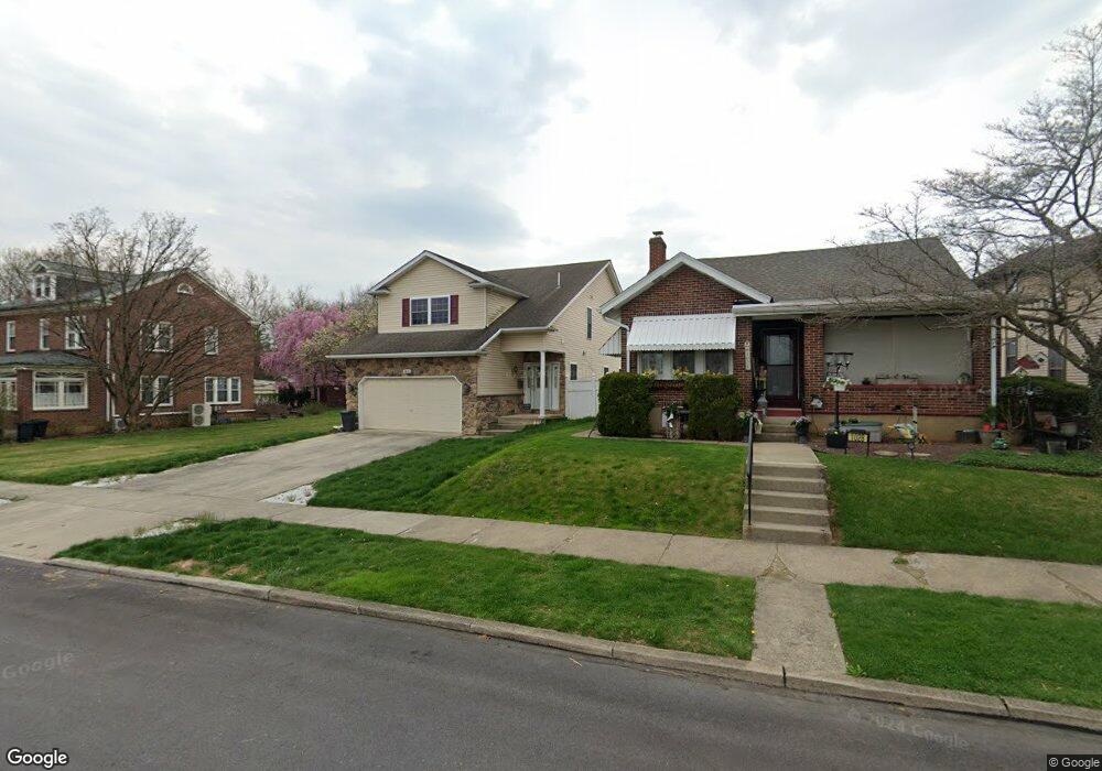
1022 N 20th St Unit 1024 Allentown, PA 18104
West End Allentown NeighborhoodEstimated Value: $300,000 - $423,000
3
Beds
3
Baths
1,786
Sq Ft
$205/Sq Ft
Est. Value
About This Home
This home is located at 1022 N 20th St Unit 1024, Allentown, PA 18104 and is currently estimated at $365,907, approximately $204 per square foot. 1022 N 20th St Unit 1024 is a home located in Lehigh County with nearby schools including Muhlenberg Elementary School, San Rafael Junior High School, and Trexler Middle School.
Ownership History
Date
Name
Owned For
Owner Type
Purchase Details
Closed on
May 21, 2021
Sold by
Penn Robert S
Bought by
Penn Robert S and Penn Ines
Current Estimated Value
Purchase Details
Closed on
Jun 20, 2003
Sold by
Lesh Kevin D and Lesh Vera B
Bought by
Thatcher Richard L and Thatcher Rachelle A
Create a Home Valuation Report for This Property
The Home Valuation Report is an in-depth analysis detailing your home's value as well as a comparison with similar homes in the area
Home Values in the Area
Average Home Value in this Area
Purchase History
| Date | Buyer | Sale Price | Title Company |
|---|---|---|---|
| Penn Robert S | -- | None Available | |
| Thatcher Richard L | $120,000 | Penn Title Inc |
Source: Public Records
Tax History Compared to Growth
Tax History
| Year | Tax Paid | Tax Assessment Tax Assessment Total Assessment is a certain percentage of the fair market value that is determined by local assessors to be the total taxable value of land and additions on the property. | Land | Improvement |
|---|---|---|---|---|
| 2025 | $6,577 | $202,000 | $17,800 | $184,200 |
| 2024 | $6,577 | $202,000 | $17,800 | $184,200 |
| 2023 | $6,577 | $202,000 | $17,800 | $184,200 |
| 2022 | $10,124 | $202,000 | $17,800 | $184,200 |
| 2021 | $6,220 | $202,000 | $17,800 | $184,200 |
| 2020 | $6,058 | $202,000 | $17,800 | $184,200 |
| 2019 | $5,960 | $202,000 | $17,800 | $184,200 |
| 2018 | $5,561 | $202,000 | $17,800 | $184,200 |
| 2017 | $5,420 | $202,000 | $17,800 | $184,200 |
| 2016 | -- | $202,000 | $17,800 | $184,200 |
| 2015 | -- | $202,000 | $17,800 | $184,200 |
| 2014 | -- | $202,000 | $17,800 | $184,200 |
Source: Public Records
Map
Nearby Homes
- 2014 W Highland St
- 1017 N 21st St
- 2150 W Livingston St
- 1243 N 19th St
- 2023 W Washington St
- 1135 N 23rd St
- 1246 N 22nd St
- 1717 W Cedar St
- 1802 W Washington St
- 2328 W Congress St
- 1613 W Congress St Unit 1619
- 2403 W Tremont St
- 2210 Grove St
- 518 N Saint George St
- 519 N Saint George St
- 1221 N 25th St Unit 1225
- 614 N 23rd St
- 525 N Leh St
- 1718 W Stanley St Unit 1722
- 638 N 16th St
- 1026 N 20th St Unit 1028
- 1014 N 20th St Unit 1020
- 1030 N 20th St Unit 1032
- 1034 N 20th St
- 1036 N 20th St
- 1013 N Saint Elmo St Unit 1021
- 1017 N Saint Elmo St
- 1027 N Saint Elmo St Unit 1033
- 1040 N 20th St
- 1038 N 20th St Unit 1040
- 2005 W Livingston St
- 2001 W Livingston St Unit 2003
- 2009 W Livingston St
- 1021 N 20th St
- 2011 W Livingston St
- 1031 N 20th St Unit 1039
- 1035 N Saint Elmo St Unit 1039
- 2013 W Livingston St Unit 2019
- 1941 W Tremont St Unit 1943
- 2021 W Livingston St