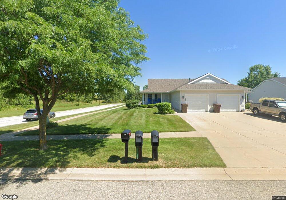
1022 Randy Ln Unit 22 Saint Johns, MI 48879
Estimated Value: $223,000 - $257,000
2
Beds
1
Bath
1,065
Sq Ft
$226/Sq Ft
Est. Value
About This Home
This home is located at 1022 Randy Ln Unit 22, Saint Johns, MI 48879 and is currently estimated at $240,882, approximately $226 per square foot. 1022 Randy Ln Unit 22 is a home located in Clinton County with nearby schools including St. Johns High School and St Joseph Catholic School.
Ownership History
Date
Name
Owned For
Owner Type
Purchase Details
Closed on
Jun 26, 2007
Sold by
Estate Of Barbara L Porter
Bought by
Berry Wayne E
Current Estimated Value
Home Financials for this Owner
Home Financials are based on the most recent Mortgage that was taken out on this home.
Original Mortgage
$113,600
Outstanding Balance
$70,109
Interest Rate
6.26%
Mortgage Type
New Conventional
Estimated Equity
$170,773
Purchase Details
Closed on
Jul 31, 2006
Sold by
Fred Motz Builder Inc
Bought by
Porter Barbara L
Create a Home Valuation Report for This Property
The Home Valuation Report is an in-depth analysis detailing your home's value as well as a comparison with similar homes in the area
Home Values in the Area
Average Home Value in this Area
Purchase History
| Date | Buyer | Sale Price | Title Company |
|---|---|---|---|
| Berry Wayne E | $142,000 | None Available | |
| Porter Barbara L | $20,000 | Fatic |
Source: Public Records
Mortgage History
| Date | Status | Borrower | Loan Amount |
|---|---|---|---|
| Open | Berry Wayne E | $113,600 |
Source: Public Records
Tax History Compared to Growth
Tax History
| Year | Tax Paid | Tax Assessment Tax Assessment Total Assessment is a certain percentage of the fair market value that is determined by local assessors to be the total taxable value of land and additions on the property. | Land | Improvement |
|---|---|---|---|---|
| 2025 | $2,894 | $104,600 | $17,500 | $87,100 |
| 2024 | $1,999 | $100,600 | $15,000 | $85,600 |
| 2023 | $1,882 | $96,000 | $0 | $0 |
| 2022 | $2,605 | $80,500 | $15,000 | $65,500 |
| 2021 | $2,540 | $74,100 | $12,500 | $61,600 |
| 2020 | $2,453 | $71,500 | $12,500 | $59,000 |
| 2019 | $2,378 | $67,300 | $12,500 | $54,800 |
| 2018 | $2,221 | $66,000 | $12,500 | $53,500 |
| 2017 | -- | $67,000 | $12,500 | $54,500 |
| 2016 | $2,325 | $63,800 | $12,500 | $51,300 |
| 2015 | -- | $56,400 | $0 | $0 |
| 2011 | -- | $64,500 | $0 | $0 |
Source: Public Records
Map
Nearby Homes
- 1020 Randy Ln Unit 21
- 705 N Us127
- 706 E Railroad St
- 606 E Railroad St
- 715 N Clinton Ave
- 112 W Gibbs St
- 204 N Whittemore St
- 709 Garfield St
- 304 W Gibbs St
- 823 N Lansing St
- 301 E Walker St
- 504 E State St
- 1455 W Hyde Rd
- 504 Vauconsant St
- 606 W Gibbs St
- 608 N Morton St
- 111 N Ottawa St
- 501 S Clinton Ave
- 511 S Church St
- 800 W State St
- 1018 Randy Ln Unit 20
- 1037 Bills Ln
- 1037 Bills Ln
- 1016 Randy Ln Unit 19
- 1035 Bills Ln
- 1014 Randy Ln Unit 18
- 1021 Randy Ln Unit 34
- 1019 Randy Ln Unit 33
- 1017 Randy Ln Unit 32
- 1033 Bills Ln
- 1012 Randy Ln Unit 17
- 1011 Randy Ln Unit 29
- 1010 Randy Ln
- 916 Joyce Ln
- 1031 Bills Ln
- 1013 Randy Ln Unit 30
- 912 Joyce Ln
- 914 Joyce Ln
- 918 Joyce Ln
- 1038 Bills Ln