1022 W Bison Creek Trail Divide, CO 80814
Estimated Value: $40,277
--
Bed
--
Bath
--
Sq Ft
4.04
Acres
About This Home
This home is located at 1022 W Bison Creek Trail, Divide, CO 80814 and is currently estimated at $40,277. 1022 W Bison Creek Trail is a home located in Teller County with nearby schools including Woodland Park Junior/Senior High School and Merit Academy.
Ownership History
Date
Name
Owned For
Owner Type
Purchase Details
Closed on
Jul 21, 2022
Sold by
Ramirez Shanon L
Bought by
Shanon L Ramirez Living Trust
Current Estimated Value
Purchase Details
Closed on
Oct 4, 2021
Sold by
Ramirez Pablo C and Ramirez Joan M
Bought by
Ramirez Shanon L
Purchase Details
Closed on
Oct 15, 2014
Sold by
Ock Llc
Bought by
Ramirez Pablo C and Ramirez Joan M
Purchase Details
Closed on
Jul 26, 2013
Sold by
Wildeman Lisa
Bought by
Ock Llc
Purchase Details
Closed on
May 22, 2013
Sold by
Bray Philip
Bought by
Oak Llc 401K Plan and Pool Kevin
Purchase Details
Closed on
Oct 16, 2002
Sold by
Cole Larry D
Bought by
Bray Phillip M
Purchase Details
Closed on
Jun 27, 1995
Bought by
Rameriz Pablo C and Rameriz Joan M
Purchase Details
Closed on
Dec 1, 1992
Bought by
Rameriz Pablo C and Rameriz Joan M
Create a Home Valuation Report for This Property
The Home Valuation Report is an in-depth analysis detailing your home's value as well as a comparison with similar homes in the area
Home Values in the Area
Average Home Value in this Area
Purchase History
| Date | Buyer | Sale Price | Title Company |
|---|---|---|---|
| Shanon L Ramirez Living Trust | -- | None Listed On Document | |
| Ramirez Shanon L | -- | None Available | |
| Ramirez Pablo C | $19,000 | Fidelity National Title Ins | |
| Ock Llc | -- | None Available | |
| Oak Llc 401K Plan | $1,206 | None Available | |
| Bray Phillip M | $15,900 | Security Title | |
| Rameriz Pablo C | $15,900 | -- | |
| Rameriz Pablo C | -- | -- |
Source: Public Records
Tax History Compared to Growth
Tax History
| Year | Tax Paid | Tax Assessment Tax Assessment Total Assessment is a certain percentage of the fair market value that is determined by local assessors to be the total taxable value of land and additions on the property. | Land | Improvement |
|---|---|---|---|---|
| 2024 | $944 | $16,270 | $16,270 | $0 |
| 2023 | $944 | $16,270 | $16,270 | $0 |
| 2022 | $462 | $8,160 | $8,160 | $0 |
| 2021 | $465 | $8,160 | $8,160 | $0 |
| 2020 | $535 | $9,620 | $9,620 | $0 |
| 2019 | $528 | $9,620 | $0 | $0 |
| 2018 | $333 | $5,880 | $0 | $0 |
| 2017 | $334 | $5,880 | $0 | $0 |
| 2016 | $351 | $6,170 | $0 | $0 |
| 2015 | $394 | $6,170 | $0 | $0 |
| 2014 | $399 | $6,170 | $0 | $0 |
Source: Public Records
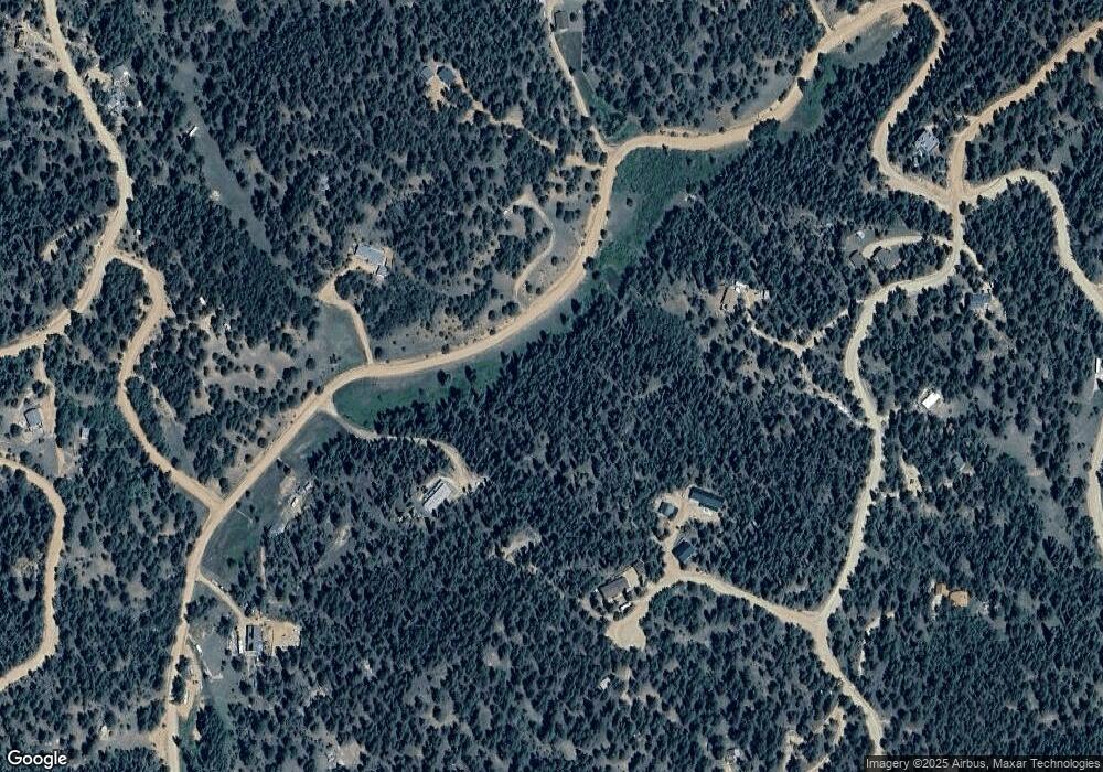
Map
Nearby Homes
- 1011 W Bison Creek Trail
- 410 Rangeview Rd
- 860 Spring Creek Dr
- 738 Rangeview Rd
- 983 Rangeview Rd
- 980 Spring Creek Dr
- 1066 Rangeview Rd
- 185 Wildcat Creek Dr
- 65 Spruce Creek Rd
- 464 E Bison Creek Trail
- 79 Beaver Creek Cir
- 449 Woody Creek Rd
- 3447 Pathfinder Rd
- 2450 Pathfinder Rd
- 7935 County Road 51 Unit 32
- 34 Piute Cir
- 1570 Pathfinder Rd
- 1360 Kiowa Rd
- 534 Poncha Creek Trail
- 998 W Bison Creek Trail
- 47 Cody Creek Trail
- 371 Rangeview Rd
- 69 Cody Creek Trail
- 854 W Bison Creek Trail
- 974 W Bison Creek Trail
- 94 Cody Creek Trail
- 1049 W Bison Creek Trail
- 987 W Bison Creek Trail
- 331 Rangeview Rd
- 36 Miller Creek Rd
- 42 Cody Creek Trail
- 1061 W Bison Creek Trail
- 950 W Bison Creek Trail
- 547 Rangeview Rd
- 328 Rangeview Rd
- 249 Rangeview Rd
- 492 Rangeview Rd
- 762 Spring Creek Dr
- 538 Spring Creek Dr