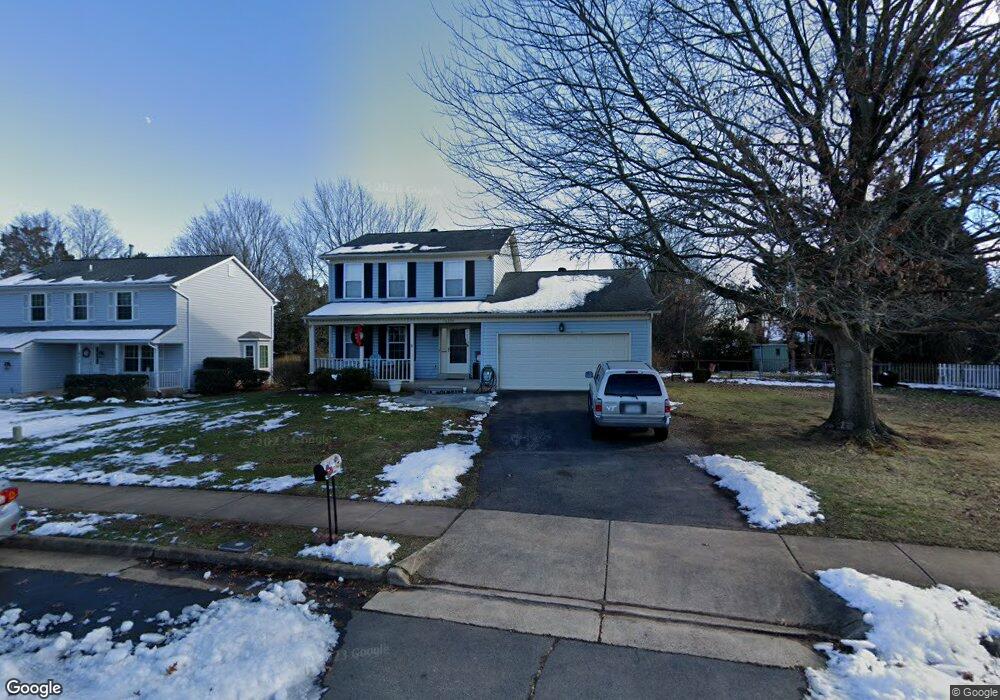
10220 Bens Way Manassas, VA 20110
Old Town Manassas NeighborhoodEstimated Value: $592,000 - $616,000
3
Beds
3
Baths
1,803
Sq Ft
$332/Sq Ft
Est. Value
About This Home
This home is located at 10220 Bens Way, Manassas, VA 20110 and is currently estimated at $599,016, approximately $332 per square foot. 10220 Bens Way is a home located in Manassas City with nearby schools including George Carr Round Elementary School, Mayfield Intermediate School, and Grace E. Metz Middle School.
Ownership History
Date
Name
Owned For
Owner Type
Purchase Details
Closed on
Apr 1, 1996
Sold by
Brown Debra L
Bought by
Gifford Franklin E
Current Estimated Value
Home Financials for this Owner
Home Financials are based on the most recent Mortgage that was taken out on this home.
Original Mortgage
$160,100
Outstanding Balance
$7,214
Interest Rate
6.9%
Estimated Equity
$591,802
Create a Home Valuation Report for This Property
The Home Valuation Report is an in-depth analysis detailing your home's value as well as a comparison with similar homes in the area
Home Values in the Area
Average Home Value in this Area
Purchase History
| Date | Buyer | Sale Price | Title Company |
|---|---|---|---|
| Gifford Franklin E | $177,900 | -- |
Source: Public Records
Mortgage History
| Date | Status | Borrower | Loan Amount |
|---|---|---|---|
| Open | Gifford Franklin E | $160,100 |
Source: Public Records
Tax History Compared to Growth
Tax History
| Year | Tax Paid | Tax Assessment Tax Assessment Total Assessment is a certain percentage of the fair market value that is determined by local assessors to be the total taxable value of land and additions on the property. | Land | Improvement |
|---|---|---|---|---|
| 2024 | $6,450 | $511,900 | $167,000 | $344,900 |
| 2023 | $6,173 | $489,900 | $162,000 | $327,900 |
| 2022 | $5,910 | $440,400 | $141,000 | $299,400 |
| 2021 | $5,670 | $396,800 | $126,000 | $270,800 |
| 2020 | $5,366 | $367,500 | $121,500 | $246,000 |
| 2019 | $5,167 | $349,100 | $118,000 | $231,100 |
| 2018 | $4,929 | $337,600 | $112,500 | $225,100 |
| 2017 | -- | $335,000 | $112,500 | $222,500 |
| 2016 | $4,645 | $331,100 | $0 | $0 |
| 2015 | -- | $335,000 | $112,500 | $222,500 |
| 2014 | -- | $0 | $0 | $0 |
Source: Public Records
Map
Nearby Homes
- 9521 Vinnia Ct
- 9541 Justin Ln
- 9348 Amaryllis Ave
- 9341 Amaryllis Ave
- 9444 Corey Dr
- 10102 Queens Way
- 10106 Queens Way
- 10114 Queens Way
- 10118 Queens Way
- 10130 Queens Way
- BALMORAL Plan at Kings Landing
- HIGHGROVE Plan at Kings Landing
- 10166 Queens Way
- 10170 Queens Way
- 10123 Erin Ct
- 9781 Mock Orange Ct
- 9532 School St
- 9653 Old Wellington Rd
- 9352 Wax Myrtle Way
- 9305 Gooseberry Dr
- 10218 Bens Way
- 10222 Bens Way
- 9624 Branchview Ct
- 10216 Bens Way
- 9626 Branchview Ct
- 10223 Bens Way
- 9625 Shannon Ln
- 10221 Bens Way
- 9622 Branchview Ct
- 10214 Bens Way
- 10219 Bens Way
- 10223 Battlefield Dr
- 9623 Shannon Ln
- 9628 Branchview Ct
- 10225 Battlefield Dr
- 10222 Pettus Place
- 9441 Flowerden Ln
- 9608 Peony Ct
- 9627 Branchview Ct
- 10212 Bens Way