10222 State Highway O Aurora, MO 65605
Estimated Value: $206,000 - $267,000
About This Home
This home is located at 10222 State Highway O, Aurora, MO 65605 and is currently estimated at $231,333, approximately $525 per square foot. 10222 State Highway O is a home with nearby schools including Eunice Thomas Elementary School, Cassville Intermediate School, and Cassville Middle School.
Ownership History
We collect this data history from publicly available records. To have your information removed, we recommend requesting removal directly through your county’s website.
Purchase Details
Home Financials for this Owner
Home Financials are based on the most recent Mortgage that was taken out on this home.Purchase Details
Home Financials for this Owner
Home Financials are based on the most recent Mortgage that was taken out on this home.Purchase Details
Purchase History
We collect this data history from publicly available records. To have your information removed, we recommend requesting removal directly through your county’s website.
| Date | Buyer | Sale Price | Title Company |
|---|---|---|---|
| -- | Barry County Abstract & Ttl | ||
| -- | Barry County Abstract Title | ||
| -- | Bcat |
Mortgage History
We collect this data history from publicly available records. To have your information removed, we recommend requesting removal directly through your county’s website.
| Date | Status | Borrower | Loan Amount |
|---|---|---|---|
| Previous Owner | $46,000 | ||
| Previous Owner | $22,000 |
Tax History
We collect this data history from publicly available records. To have your information removed, we recommend requesting removal directly through your county’s website.
| Year | Tax Paid | Tax Assessment Tax Assessment Total Assessment is a certain percentage of the fair market value that is determined by local assessors to be the total taxable value of land and additions on the property. | Land | Improvement |
|---|---|---|---|---|
| 2025 | $199 | $4,617 | $1,710 | $2,907 |
| 2024 | $2 | $4,389 | $1,710 | $2,679 |
| 2023 | $190 | $4,389 | $1,710 | $2,679 |
| 2022 | $190 | $4,389 | $1,710 | $2,679 |
| 2020 | $244 | $5,624 | $1,558 | $4,066 |
| 2018 | $371 | $8,778 | $1,558 | $7,220 |
| 2017 | $237 | $5,624 | $1,558 | $4,066 |
| 2016 | $209 | $4,883 | $1,311 | $3,572 |
| 2015 | -- | $4,883 | $1,311 | $3,572 |
| 2014 | -- | $4,465 | $1,311 | $3,154 |
| 2012 | -- | $0 | $0 | $0 |
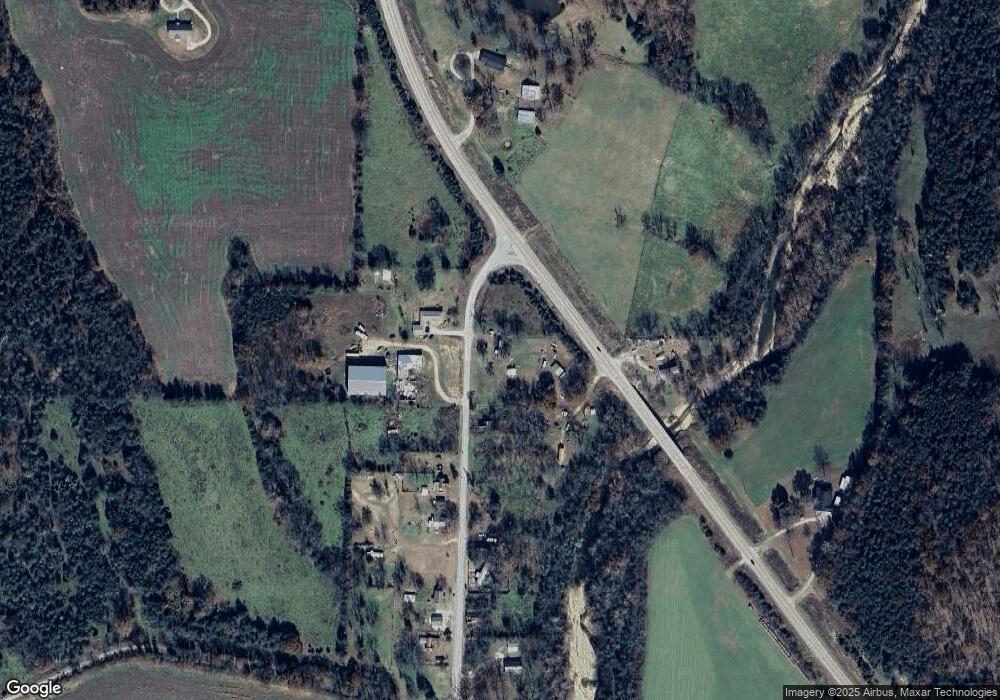
Map
- 21611 Farm Road 2090
- 11830 Farm Road 1195
- 000 Highway 248
- 000 Farm Road 2080
- 18611 Farm Road 2107
- 23537 Farm Road 2080
- 9123 Farm Road 1232
- 000 Farm Road 2085
- 23774 Farm Road 2085
- 24352 State Highway Ee
- 10463 Farm Road 1182
- 000 Farm Road 1245
- 6949 Farm Road 1182
- 27196 Farm Road 2120
- 27458 Farm Road 2120
- 000 Private Drive Off of Fr 1245
- 5309 Private Road 1195
- 27255 Farm Road 2090
- 000 Farm Road 2050
- 19358 Farm Road 2145
- 10217 State Highway O
- 10217 State Highway O
- 10955 State Highway 39
- 21323 Farm Road 2100
- 10303 State Highway O
- 11145 Farm Road 1215
- 4220 Farm Road 1090
- 11116 State Highway 39
- 10520 State Highway 39
- 21296 Farm Road 2100
- 11432 State Highway 39
- 11364 State Highway 39
- 11125 Farm Road 1060
- 21009 Farm Road 2100
- FR Farm Road 1215
- 24650 State Highway 248
- 21072 Farm Road 2100
- 22768 State Highway 39
- 22768 State Highway 39
- 20929 Farm Road 2100
Ask me questions while you tour the home.