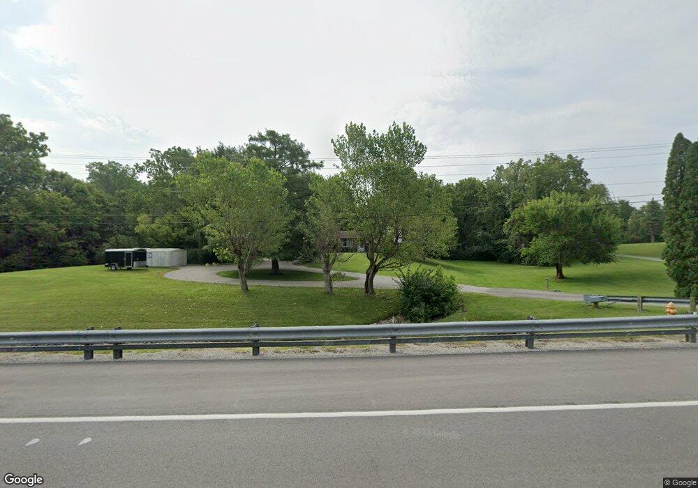
10223 Lower Huntington Rd Roanoke, IN 46783
Estimated Value: $320,000 - $387,000
3
Beds
2
Baths
2,127
Sq Ft
$167/Sq Ft
Est. Value
About This Home
This home is located at 10223 Lower Huntington Rd, Roanoke, IN 46783 and is currently estimated at $354,716, approximately $166 per square foot. 10223 Lower Huntington Rd is a home located in Allen County with nearby schools including Lafayette Meadow School, Summit Middle School, and Homestead Senior High School.
Ownership History
Date
Name
Owned For
Owner Type
Purchase Details
Closed on
Sep 21, 2007
Sold by
Gulley Barbara A and Gulley Ben E
Bought by
Babcock Neal and Babcock Heather
Current Estimated Value
Home Financials for this Owner
Home Financials are based on the most recent Mortgage that was taken out on this home.
Original Mortgage
$113,500
Outstanding Balance
$71,787
Interest Rate
6.55%
Mortgage Type
Purchase Money Mortgage
Estimated Equity
$282,929
Create a Home Valuation Report for This Property
The Home Valuation Report is an in-depth analysis detailing your home's value as well as a comparison with similar homes in the area
Home Values in the Area
Average Home Value in this Area
Purchase History
| Date | Buyer | Sale Price | Title Company |
|---|---|---|---|
| Babcock Neal | -- | Metropolitan Title Company |
Source: Public Records
Mortgage History
| Date | Status | Borrower | Loan Amount |
|---|---|---|---|
| Open | Babcock Neal | $113,500 |
Source: Public Records
Tax History Compared to Growth
Tax History
| Year | Tax Paid | Tax Assessment Tax Assessment Total Assessment is a certain percentage of the fair market value that is determined by local assessors to be the total taxable value of land and additions on the property. | Land | Improvement |
|---|---|---|---|---|
| 2024 | $2,334 | $276,600 | $50,000 | $226,600 |
| 2023 | $2,334 | $281,300 | $47,500 | $233,800 |
| 2022 | $1,895 | $255,700 | $33,500 | $222,200 |
| 2021 | $1,534 | $207,700 | $33,500 | $174,200 |
| 2020 | $1,423 | $192,500 | $33,500 | $159,000 |
| 2019 | $1,371 | $184,900 | $33,500 | $151,400 |
| 2018 | $1,224 | $170,700 | $33,500 | $137,200 |
| 2017 | $1,187 | $159,800 | $33,500 | $126,300 |
| 2016 | $1,207 | $157,900 | $33,500 | $124,400 |
| 2014 | $962 | $134,500 | $33,500 | $101,000 |
| 2013 | $882 | $123,800 | $33,500 | $90,300 |
Source: Public Records
Map
Nearby Homes
- Freeport Plan at Sierra Ridge
- Chatham Plan at Sierra Ridge
- Bellamy Plan at Sierra Ridge
- Henley Plan at Sierra Ridge
- Stamford Plan at Sierra Ridge
- 10814 Lower Huntington Rd
- 10825 Yalumba Pass
- 11015 Yalumba Pass
- 11204 Wirra Hill
- 11305 Nightingale Cove
- 10801 Fenton Cove
- 11322 Miramar Cove
- 12502 Kress Rd
- 10406 Woodland Ridge W
- 11132 Carob Thorn Trail
- 11099 Carob Thorn Trail
- 10937 Carob Thorn Trail
- 6719 W Canal Pointe Ln
- 11430 Dell Loch Way
- 6433 Sheffield Cove
- 10313 Lower Huntington Rd
- 10229 Lower Huntington Rd
- 10222 Lower Huntington Rd
- 10327 Lower Huntington Rd
- 10335 Lower Huntington Rd
- 10332 Lower Huntington Rd
- 10344 Lower Huntington Rd
- 10131 Lower Huntington Rd
- 10350 Lower Huntington Rd
- 10413 Lower Huntington Rd
- 10425 Lower Huntington Rd
- 10457 Lower Huntington Rd
- 10005 Lower Huntington Rd
- 9957 Homestead Rd
- 10395 Lower Huntington Rd
- 9727 Homestead Rd
- 10525 Lower Huntington Rd
- 10008 Homestead Rd
- 0 Ernst Rd
- 10528 Lower Huntington Rd