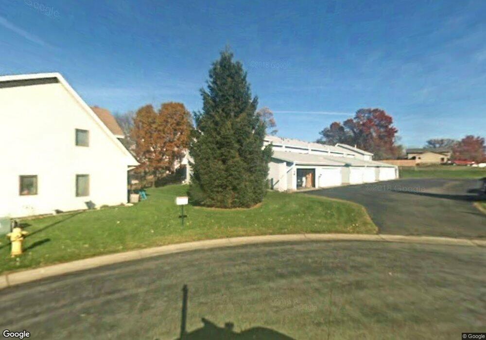
1023 124th Cir NW Coon Rapids, MN 55448
Estimated Value: $208,000 - $266,000
3
Beds
2
Baths
1,340
Sq Ft
$172/Sq Ft
Est. Value
About This Home
This home is located at 1023 124th Cir NW, Coon Rapids, MN 55448 and is currently estimated at $229,834, approximately $171 per square foot. 1023 124th Cir NW is a home located in Anoka County with nearby schools including Sand Creek Elementary School, Northdale Middle School, and Green Valley High School.
Ownership History
Date
Name
Owned For
Owner Type
Purchase Details
Closed on
Jun 29, 2010
Sold by
Bernstrom Molly A
Bought by
Sakry Tammy L
Current Estimated Value
Home Financials for this Owner
Home Financials are based on the most recent Mortgage that was taken out on this home.
Original Mortgage
$3,000
Outstanding Balance
$1,958
Interest Rate
4.37%
Mortgage Type
FHA
Estimated Equity
$227,876
Purchase Details
Closed on
Jul 1, 2008
Sold by
Wells Fargo Bank
Bought by
Bernstrom Molly A
Home Financials for this Owner
Home Financials are based on the most recent Mortgage that was taken out on this home.
Original Mortgage
$88,609
Interest Rate
6.5%
Mortgage Type
FHA
Purchase Details
Closed on
Apr 12, 2000
Sold by
Smith Robert A and Smith Diane S
Bought by
Bickholtz Dale
Create a Home Valuation Report for This Property
The Home Valuation Report is an in-depth analysis detailing your home's value as well as a comparison with similar homes in the area
Home Values in the Area
Average Home Value in this Area
Purchase History
| Date | Buyer | Sale Price | Title Company |
|---|---|---|---|
| Sakry Tammy L | $85,000 | -- | |
| Bernstrom Molly A | $90,000 | -- | |
| Bickholtz Dale | $97,500 | -- |
Source: Public Records
Mortgage History
| Date | Status | Borrower | Loan Amount |
|---|---|---|---|
| Open | Sakry Tammy L | $3,000 | |
| Previous Owner | Bernstrom Molly A | $88,609 |
Source: Public Records
Tax History Compared to Growth
Tax History
| Year | Tax Paid | Tax Assessment Tax Assessment Total Assessment is a certain percentage of the fair market value that is determined by local assessors to be the total taxable value of land and additions on the property. | Land | Improvement |
|---|---|---|---|---|
| 2025 | $2,525 | $195,900 | $45,000 | $150,900 |
| 2024 | $2,525 | $190,200 | $45,000 | $145,200 |
| 2023 | $2,590 | $204,900 | $45,000 | $159,900 |
| 2022 | $2,396 | $203,200 | $35,500 | $167,700 |
| 2021 | $2,390 | $166,300 | $43,000 | $123,300 |
| 2020 | $2,261 | $162,300 | $35,000 | $127,300 |
| 2019 | $2,141 | $146,500 | $30,000 | $116,500 |
| 2018 | $1,961 | $133,500 | $0 | $0 |
| 2017 | $1,835 | $117,000 | $0 | $0 |
| 2016 | $1,746 | $99,000 | $0 | $0 |
| 2015 | -- | $99,000 | $14,800 | $84,200 |
| 2014 | -- | $84,400 | $6,700 | $77,700 |
Source: Public Records
Map
Nearby Homes
- 12488 Unity St NW
- 899 123rd Ln NW
- 12357 Magnolia St NW
- 1234 128th Cir NW
- 12463 Drake St NW
- 1450 126th Ln NW
- 11923 Wintergreen St NW
- 1593 126th Ln NW
- 1625 124th Ave NW
- 11852 Yellow Pine St NW
- 633 Sand Creek Dr NW
- 12010 Eagle St NW
- 12554 Grouse St NW
- 1449 119th Ln NW
- 1520 129th Ave NW
- 12365 Jay St NW
- 1727 121st Ln NW
- 12759 Ibis St NW
- 1930 127th Cir NW
- 11640 Larch St NW
- 1019 124th Cir NW
- 1015 124th Cir NW
- 1011 124th Cir NW
- 1029 124th Cir NW
- 1031 124th Cir NW
- 1033 124th Cir NW
- 12450 12450 Unity-Street-nw
- 12450 12450 Unity St NW
- 12450 Unity St NW
- 1035 124th Cir NW
- 1017 124th Cir NW
- 1003 124th Cir NW
- 1013 124th Cir NW
- 12454 Unity St NW Unit 2
- 12454 12454 Unity-Street-nw
- 12454 12454 Unity St NW
- 12458 Unity St NW
- 12458 12458 Unity-Street-nw
- 1037 124th Cir NW
- 1009 124th Cir NW