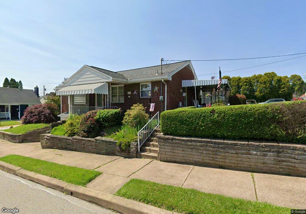
1023 Atlantic Ave Brackenridge, PA 15014
Estimated Value: $82,000 - $153,000
2
Beds
1
Bath
972
Sq Ft
$130/Sq Ft
Est. Value
About This Home
This home is located at 1023 Atlantic Ave, Brackenridge, PA 15014 and is currently estimated at $126,389, approximately $130 per square foot. 1023 Atlantic Ave is a home located in Allegheny County with nearby schools including Highlands Senior High School, Mary Queen of Apostles School, and St. Joseph High School.
Ownership History
Date
Name
Owned For
Owner Type
Purchase Details
Closed on
Sep 28, 2004
Sold by
Szlachetka Walter
Bought by
Pacek Jeffrey
Current Estimated Value
Home Financials for this Owner
Home Financials are based on the most recent Mortgage that was taken out on this home.
Original Mortgage
$62,000
Outstanding Balance
$30,952
Interest Rate
5.89%
Mortgage Type
New Conventional
Estimated Equity
$95,437
Create a Home Valuation Report for This Property
The Home Valuation Report is an in-depth analysis detailing your home's value as well as a comparison with similar homes in the area
Home Values in the Area
Average Home Value in this Area
Purchase History
| Date | Buyer | Sale Price | Title Company |
|---|---|---|---|
| Pacek Jeffrey | $77,000 | -- |
Source: Public Records
Mortgage History
| Date | Status | Borrower | Loan Amount |
|---|---|---|---|
| Open | Pacek Jeffrey | $62,000 |
Source: Public Records
Tax History Compared to Growth
Tax History
| Year | Tax Paid | Tax Assessment Tax Assessment Total Assessment is a certain percentage of the fair market value that is determined by local assessors to be the total taxable value of land and additions on the property. | Land | Improvement |
|---|---|---|---|---|
| 2025 | $1,574 | $43,600 | $16,200 | $27,400 |
| 2024 | $1,574 | $43,600 | $16,200 | $27,400 |
| 2023 | $1,574 | $43,600 | $16,200 | $27,400 |
| 2022 | $1,563 | $43,600 | $16,200 | $27,400 |
| 2021 | $206 | $43,600 | $16,200 | $27,400 |
| 2020 | $1,564 | $43,600 | $16,200 | $27,400 |
| 2019 | $1,553 | $43,600 | $16,200 | $27,400 |
| 2018 | $206 | $43,600 | $16,200 | $27,400 |
| 2017 | $1,495 | $43,600 | $16,200 | $27,400 |
| 2016 | $206 | $43,600 | $16,200 | $27,400 |
| 2015 | $206 | $43,600 | $16,200 | $27,400 |
| 2014 | $1,495 | $43,600 | $16,200 | $27,400 |
Source: Public Records
Map
Nearby Homes
- 965 Morgan St
- 952 Roup Ave
- 1105 Parkside Dr
- 1010 8th Ave
- 721 Morgan St
- 1117 8th Ave
- 805 Kentucky St
- 1026 Cambridge St
- 835 6th Ave
- 1202 Cambridge St
- 1257 8th Ave
- 1020 Brackenridge Ave
- 726 7th Ave
- 1275 11th Ave
- 841 Brackenridge Ave
- 1219 Minnesota Ave
- 613 E 7th Ave
- 1332 Union Ave
- 1113-1115 Stieren Ave
- 473 E 7th Ave
- 946 Nevada St
- 952 Nevada St
- 947 Penn St
- 1024 Atlantic Ave
- 943 Nevada St
- 1028 Atlantic Ave
- 947 Nevada St
- 1020 Atlantic Ave
- 949 Penn St
- 951 Nevada St
- 1032 Atlantic Ave
- 951 Penn St
- 1018 Atlantic Ave
- 956 Nevada St
- 1014 Atlantic Ave
- 955 Penn St
- 1036 Atlantic Ave
- 1010 Atlantic Ave
- 957 Nevada St
- 959 Penn St