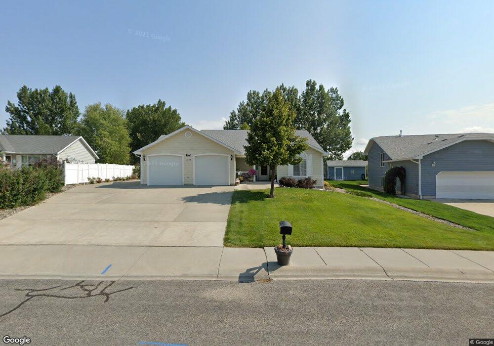
1023 Betty Ave Laurel, MT 59044
Estimated Value: $332,000 - $427,000
2
Beds
2
Baths
1,214
Sq Ft
$304/Sq Ft
Est. Value
About This Home
This home is located at 1023 Betty Ave, Laurel, MT 59044 and is currently estimated at $368,871, approximately $303 per square foot. 1023 Betty Ave is a home located in Yellowstone County with nearby schools including West School, Fred W. Graff School, and Laurel Middle School.
Ownership History
Date
Name
Owned For
Owner Type
Purchase Details
Closed on
Jul 1, 2024
Sold by
Henry W And Betty L Lich Family Trust
Bought by
Anderson Curtis L and Anderson Geraldine K
Current Estimated Value
Home Financials for this Owner
Home Financials are based on the most recent Mortgage that was taken out on this home.
Original Mortgage
$330,600
Outstanding Balance
$326,674
Interest Rate
7.02%
Mortgage Type
New Conventional
Estimated Equity
$42,197
Purchase Details
Closed on
Apr 25, 2005
Sold by
Lich Henry W and Lich Betty L
Bought by
Henry W & Betty L Lich Family Trust
Create a Home Valuation Report for This Property
The Home Valuation Report is an in-depth analysis detailing your home's value as well as a comparison with similar homes in the area
Home Values in the Area
Average Home Value in this Area
Purchase History
| Date | Buyer | Sale Price | Title Company |
|---|---|---|---|
| Anderson Curtis L | -- | Flying S Title And Escrow | |
| Henry W & Betty L Lich Family Trust | -- | None Available |
Source: Public Records
Mortgage History
| Date | Status | Borrower | Loan Amount |
|---|---|---|---|
| Open | Anderson Curtis L | $330,600 |
Source: Public Records
Tax History Compared to Growth
Tax History
| Year | Tax Paid | Tax Assessment Tax Assessment Total Assessment is a certain percentage of the fair market value that is determined by local assessors to be the total taxable value of land and additions on the property. | Land | Improvement |
|---|---|---|---|---|
| 2025 | $3,016 | $354,500 | $84,383 | $270,117 |
| 2024 | $3,016 | $189,349 | $77,647 | $111,702 |
| 2023 | $2,785 | $301,500 | $77,647 | $223,853 |
| 2022 | $1,684 | $261,000 | $0 | $0 |
| 2021 | $2,067 | $261,000 | $0 | $0 |
| 2020 | $1,838 | $231,300 | $0 | $0 |
| 2019 | $1,860 | $231,300 | $0 | $0 |
| 2018 | $1,610 | $204,900 | $0 | $0 |
| 2017 | $1,488 | $204,900 | $0 | $0 |
| 2016 | $1,503 | $207,900 | $0 | $0 |
| 2015 | $1,486 | $207,900 | $0 | $0 |
| 2014 | $1,347 | $99,428 | $0 | $0 |
Source: Public Records
Map
Nearby Homes
- 1013 Rochelle Dr
- TBD Block 3 Lot 9
- 1014 Rochelle Ln
- TBD Block 3 Lot 1
- TBD Block 1 Lot 3
- TBD Block 1 Lot 2
- TBD Block 3 Lot 4
- TBD Block 3 Lot 6
- 1106 W 12th St
- 1013 W 12th St
- 1109 10th Ave
- 1036 9th Ave
- 1018 Els Dr
- 1712 Paynes Place
- 403 Grandview Blvd
- 512 W 14th St
- 102 8th Ave Unit B
- 109 E 12th St
- 116 4th Ave
- 1003 Montana Ave
- 1021 Betty Ave
- 1025 Betty Ave
- 1018 Anns Place
- 1024 Anns Place
- 1030 Anns Place
- 1012 Anns Place
- 1101 Cherry Hills Dr
- 1411 W Maryland Ln
- 1020 Betty Ave
- 1022 Betty Ave
- 1103 Cherry Hills Dr
- 1024 Betty Ave
- 1401 W Maryland Ln
- 1104 Cherry Hills Dr
- 1006 Betty Ave
- 1036 Anns Place
- 1030 Betty Ave
- 1036 Ann's Place
- 1019 Anns Place
- 1025 Anns Place