1023 Brownstone Dr Unit 29 Marietta, GA 30008
Southwestern Marietta NeighborhoodEstimated Value: $375,000 - $420,000
3
Beds
3
Baths
2,222
Sq Ft
$176/Sq Ft
Est. Value
About This Home
This home is located at 1023 Brownstone Dr Unit 29, Marietta, GA 30008 and is currently estimated at $390,812, approximately $175 per square foot. 1023 Brownstone Dr Unit 29 is a home located in Cobb County with nearby schools including Dunleith Elementary School, Marietta Sixth Grade Academy, and Marietta Middle School.
Ownership History
Date
Name
Owned For
Owner Type
Purchase Details
Closed on
Nov 9, 2019
Sold by
Marshall Maureen
Bought by
Young Walterine
Current Estimated Value
Purchase Details
Closed on
Jan 14, 2005
Sold by
Four Star Housing Group Inc
Bought by
Marshall Maureen A
Home Financials for this Owner
Home Financials are based on the most recent Mortgage that was taken out on this home.
Original Mortgage
$136,400
Interest Rate
5.61%
Mortgage Type
New Conventional
Create a Home Valuation Report for This Property
The Home Valuation Report is an in-depth analysis detailing your home's value as well as a comparison with similar homes in the area
Home Values in the Area
Average Home Value in this Area
Purchase History
| Date | Buyer | Sale Price | Title Company |
|---|---|---|---|
| Young Walterine | -- | -- | |
| Marshall Maureen A | $170,600 | -- |
Source: Public Records
Mortgage History
| Date | Status | Borrower | Loan Amount |
|---|---|---|---|
| Previous Owner | Marshall Maureen A | $136,400 |
Source: Public Records
Tax History Compared to Growth
Tax History
| Year | Tax Paid | Tax Assessment Tax Assessment Total Assessment is a certain percentage of the fair market value that is determined by local assessors to be the total taxable value of land and additions on the property. | Land | Improvement |
|---|---|---|---|---|
| 2025 | $530 | $147,444 | $44,000 | $103,444 |
| 2024 | $530 | $147,444 | $44,000 | $103,444 |
| 2023 | $377 | $134,248 | $36,000 | $98,248 |
| 2022 | $530 | $98,488 | $18,400 | $80,088 |
| 2021 | $542 | $98,488 | $18,400 | $80,088 |
| 2020 | $541 | $86,088 | $18,400 | $67,688 |
| 2019 | $541 | $86,088 | $18,400 | $67,688 |
| 2018 | $540 | $78,528 | $16,000 | $62,528 |
| 2017 | $433 | $78,528 | $16,000 | $62,528 |
| 2016 | $423 | $71,128 | $12,000 | $59,128 |
| 2015 | $294 | $48,740 | $12,000 | $36,740 |
| 2014 | $304 | $48,740 | $0 | $0 |
Source: Public Records
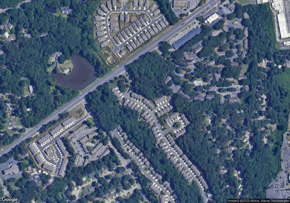
Map
Nearby Homes
- 1048 Brownstone Dr Unit 3
- 243 Brownstone Cir Unit 25
- 393 Cedar Trace SW Unit 1
- 264 Juliet Ln SW
- 1166 Booth Rd SW Unit 407
- 1166 Booth Rd SW Unit 205
- 1166 Booth Rd SW Unit 906
- 1166 Booth Rd SW Unit 908
- 1166 Booth Rd SW Unit 610
- 994 Powder Springs St
- 827 Hickory Dr SW
- 1038 Arden Dr SW
- 237 Toweridge Dr SW
- 375 Leisure Ct SW
- 852 Hickory Dr SW
- 662 Bouldercrest Dr SW
- 479 Banks St SW
- 840 Hickory Dr SW
- 233 Scottsdale Dr
- 1027 Brownstone Dr Unit 29
- 1019 Brownstone Dr Unit 30
- 1019 Brownstone Dr
- 1031 Brownstone Dr Unit 29
- 1035 Brownstone Dr Unit 29
- 1035 Brownstone Dr Unit 1035
- 1015 Brownstone Dr Unit 30
- 1011 Brownstone Dr Unit 30
- 1028 Brownstone Dr Unit 2
- 1032 Brownstone Dr
- 1032 Brownstone Dr Unit 1032
- 180 Brownstone Place Unit 28
- 180 Brownstone Place
- 1036 Brownstone Dr
- 1007 Brownstone Dr Unit 30
- 170 Brownstone Place
- 170 Brownstone Place
- 1040 Brownstone Dr Unit 3
- 1040 Brownstone Dr Unit 1040
- 1020 Brownstone Dr Unit 2