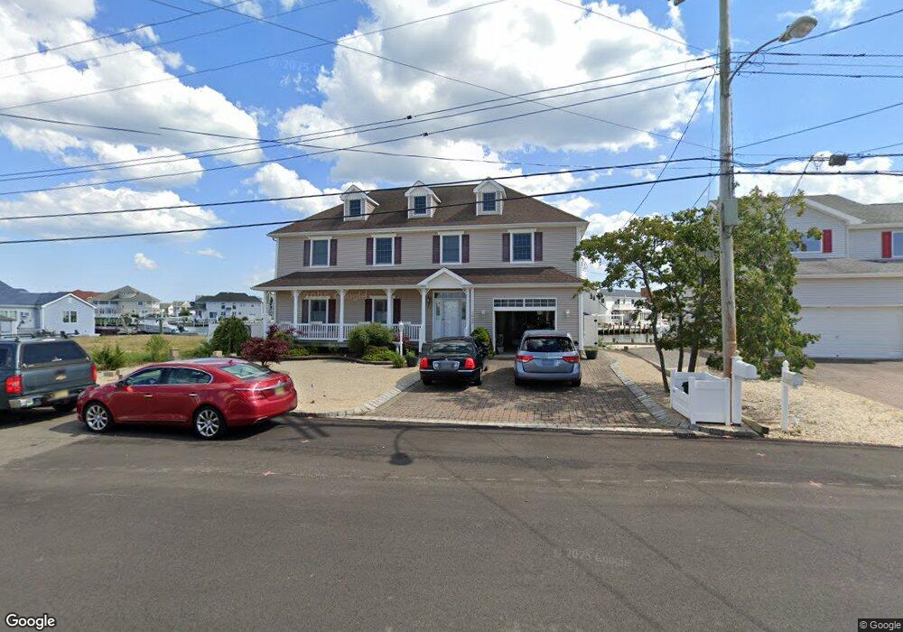
1023 Capstan Dr Forked River, NJ 08731
Estimated Value: $752,328 - $942,000
3
Beds
3
Baths
2,086
Sq Ft
$418/Sq Ft
Est. Value
About This Home
This home is located at 1023 Capstan Dr, Forked River, NJ 08731 and is currently estimated at $871,832, approximately $417 per square foot. 1023 Capstan Dr is a home located in Ocean County with nearby schools including Lacey Township High School.
Ownership History
Date
Name
Owned For
Owner Type
Purchase Details
Closed on
Feb 28, 2022
Sold by
Lillian Tommasone
Bought by
Tommasone Lillian
Current Estimated Value
Purchase Details
Closed on
Jun 13, 2008
Sold by
Tommasone Lillian and Tommasone Joseph
Bought by
Tommasone Lillian and Tommasone Joseph M
Purchase Details
Closed on
Dec 21, 2007
Sold by
Tommasone Lillian
Bought by
Tommasone Lillian and Tommasone Joseph
Create a Home Valuation Report for This Property
The Home Valuation Report is an in-depth analysis detailing your home's value as well as a comparison with similar homes in the area
Home Values in the Area
Average Home Value in this Area
Purchase History
| Date | Buyer | Sale Price | Title Company |
|---|---|---|---|
| Tommasone Lillian | -- | Hanula Scott M | |
| Tommasone Lillian | -- | None Available | |
| Tommasone Lillian | -- | None Available |
Source: Public Records
Tax History
| Year | Tax Paid | Tax Assessment Tax Assessment Total Assessment is a certain percentage of the fair market value that is determined by local assessors to be the total taxable value of land and additions on the property. | Land | Improvement |
|---|---|---|---|---|
| 2025 | $12,231 | $447,200 | $185,000 | $262,200 |
| 2024 | $10,344 | $447,200 | $185,000 | $262,200 |
| 2023 | $9,870 | $447,200 | $185,000 | $262,200 |
| 2022 | $10,120 | $447,200 | $185,000 | $262,200 |
| 2021 | $8,965 | $447,200 | $185,000 | $262,200 |
| 2020 | $9,633 | $447,200 | $185,000 | $262,200 |
| 2019 | $9,463 | $447,200 | $185,000 | $262,200 |
| 2018 | $9,351 | $447,200 | $185,000 | $262,200 |
| 2017 | $9,136 | $447,200 | $185,000 | $262,200 |
| 2016 | $8,851 | $447,200 | $185,000 | $262,200 |
| 2015 | $8,444 | $447,200 | $185,000 | $262,200 |
| 2014 | $8,734 | $522,300 | $270,000 | $252,300 |
Source: Public Records
Map
Nearby Homes
- 1025 Capstan Dr
- 814 Ensign Dr
- 986 Capstan Dr
- 0 Windward Dr Unit NJOC2039288
- 0 Windward Dr Unit 22601526
- 915 Shenandoah Dr
- 715 Richmond Dr
- 709 Richmond Dr
- 510 Conifer Dr
- 0 Union Ct Unit 22605987
- 1029 Bowsprit Point
- 330 Riviera Dr
- 802 E Hickory Dr
- 606 Bowsprit Point
- 826 Hazelton Ave
- 1001 Painter Point
- 710 Hazelton Ave
- 1407 Hilo Bay Dr
- 821 Bunnell St
- 1600 Beach Blvd
Your Personal Tour Guide
Ask me questions while you tour the home.