1023 Ludlow Rd Waukon, IA 52172
Estimated Value: $183,377
4
Beds
1
Bath
1,888
Sq Ft
$97/Sq Ft
Est. Value
About This Home
This home is located at 1023 Ludlow Rd, Waukon, IA 52172 and is currently estimated at $183,377, approximately $97 per square foot. 1023 Ludlow Rd is a home located in Allamakee County with nearby schools including West Campus Elementary School, East Campus Elementary School, and Waukon Middle School.
Ownership History
Date
Name
Owned For
Owner Type
Purchase Details
Closed on
Apr 27, 2023
Sold by
Johnson Darlene Evelyn
Bought by
Johnson Kyle E
Current Estimated Value
Home Financials for this Owner
Home Financials are based on the most recent Mortgage that was taken out on this home.
Original Mortgage
$350,000
Outstanding Balance
$340,634
Interest Rate
6.6%
Mortgage Type
New Conventional
Estimated Equity
-$157,257
Create a Home Valuation Report for This Property
The Home Valuation Report is an in-depth analysis detailing your home's value as well as a comparison with similar homes in the area
Home Values in the Area
Average Home Value in this Area
Purchase History
| Date | Buyer | Sale Price | Title Company |
|---|---|---|---|
| Johnson Kyle E | $350,000 | None Listed On Document |
Source: Public Records
Mortgage History
| Date | Status | Borrower | Loan Amount |
|---|---|---|---|
| Open | Johnson Kyle E | $350,000 |
Source: Public Records
Tax History Compared to Growth
Tax History
| Year | Tax Paid | Tax Assessment Tax Assessment Total Assessment is a certain percentage of the fair market value that is determined by local assessors to be the total taxable value of land and additions on the property. | Land | Improvement |
|---|---|---|---|---|
| 2025 | $4,630 | $361,900 | $337,000 | $24,900 |
| 2024 | $4,630 | $267,800 | $252,100 | $15,700 |
| 2023 | $4,482 | $267,800 | $252,100 | $15,700 |
| 2022 | $5,176 | $319,700 | $210,500 | $109,200 |
| 2021 | $5,410 | $341,200 | $233,200 | $108,000 |
| 2020 | $5,410 | $333,100 | $234,400 | $98,700 |
| 2019 | $5,468 | $456,600 | $0 | $0 |
| 2018 | $5,284 | $456,600 | $0 | $0 |
| 2017 | $5,284 | $483,600 | $0 | $0 |
| 2016 | $4,848 | $481,400 | $0 | $0 |
| 2015 | $4,848 | $420,000 | $0 | $0 |
| 2014 | $4,116 | $420,000 | $0 | $0 |
Source: Public Records
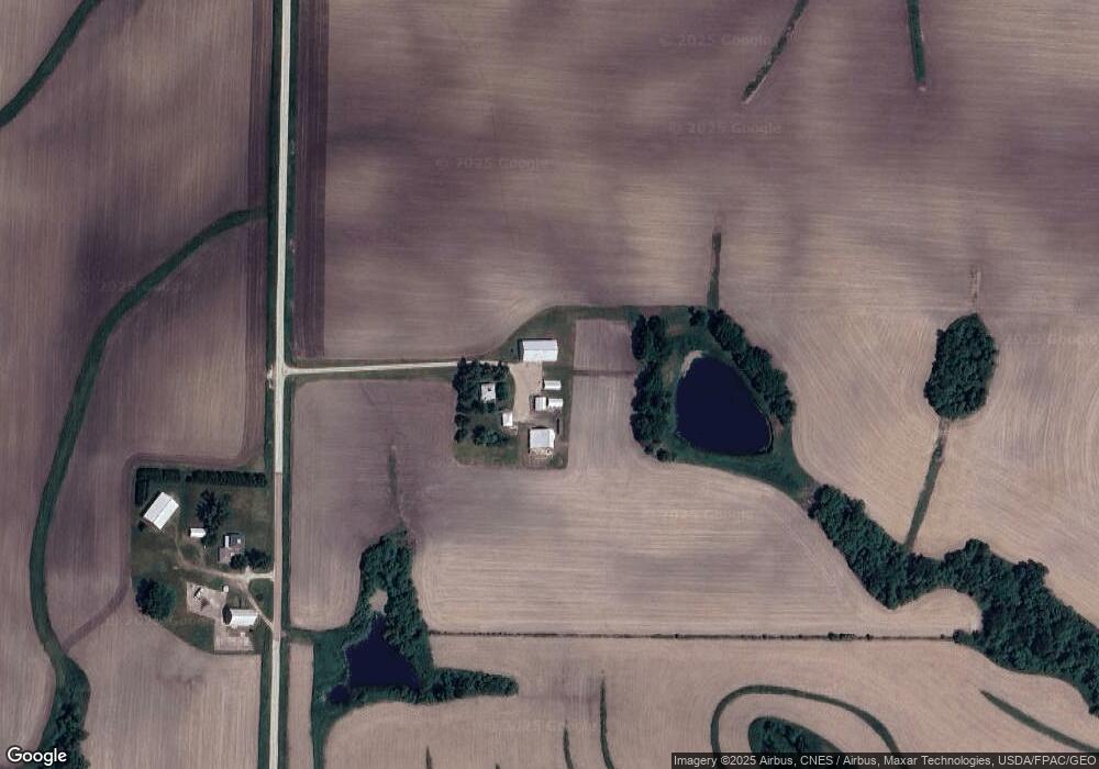
Map
Nearby Homes
- Tbd
- Tbd
- 866 Cooks Rd
- 0 SW 11th Ave Unit 20222752
- Allamakee Co. Ia Parcel Id#
- 104 6th Ave SW
- 303 5th St SW
- 605 1st Ave SW
- 208 4th St SW
- 607 W Main St
- 306 Sw St
- 430 9th St NW
- 22 3rd Ave SE
- 525 4th St SE
- 0 Parcel Id#1031351007 Unit 20211899
- 0 Parcel Id#1506100051 Unit 20211897
- 0 Parcel Id#1031376012 Unit 20211905
- 0 Parcel Id#1031376013 Unit 20211902
- 0 Parcel Id#1031351004 Unit 20211906
- 0 Parcel Id#1031376005 Unit 20211907
- 1014 Ludlow Rd
- 415 Countryside Dr
- 370 Countryside Dr
- 431 Countryside Dr
- 375 Countryside Dr
- 389 Picnic Woods Dr
- 407 Picnic Woods Dr
- 1006 Old Stage Rd
- 442 Picnic Woods Dr
- 334 Countryside Dr
- 489 Picnic Woods Dr
- 465 Picnic Woods Dr
- 370 Picnic Woods Dr
- 1003 Old Stage Rd
- 351 Picnic Woods Dr
- 358 Picnic Woods Dr
- 930 Ludlow Rd
- 354 Picnic Woods Dr
- 321 Countryside Dr
- 316 Countryside Dr